Автор: Williams Дата: 20 сентября 2025
Просмотров: 244
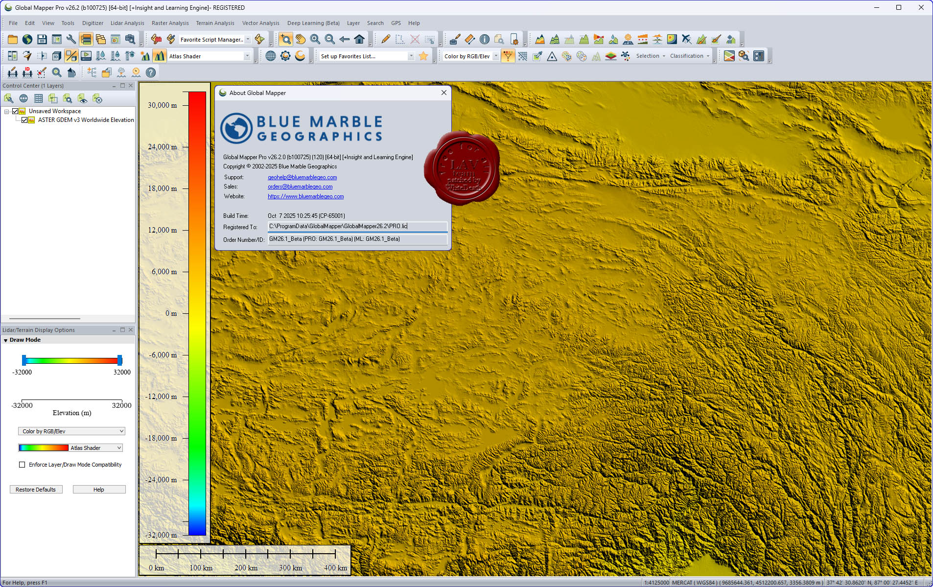
Blue Marble Global Mapper Pro v26.2 build 100725
Вышла новая версия программы для просмотра карт и векторных изображений - Global Mapper v26.2
Global Mapper позволяет не только просматривать но и преобразовывать или редактировать, а даже и распечатывать всевозможные карты и векторные наборы данных. Global Mapper позволяет вам загружать ваши данные как слои ( только с условием, что вы работаете в Digital Elevation Model), или же как отсканированную карту, если вам надо изобразить местность в 3D. Есть также хорошая особенность, что позволяет вести работу в реальном времени. Происходит это путем загрузки данных с GPS приемника который подключен к компьютеру.
Global Mapper поддерживает огромнейшее число форматов. Работать с ней легко и просто, интерфейс не перенасыщен различными опциями, вы можете смело работать в ней и не задумываться о том, куда нажать, что бы сделать что - то.
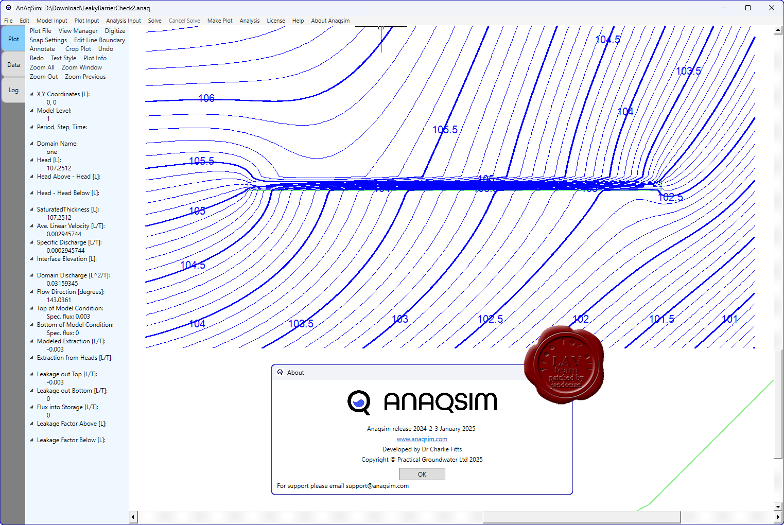
AnAqSim (Analytic Aquifer Simulator) служит для моделирования подземных вод с использованием аналитического (meshless) подхода.
В отличие от классических численных методов (сетки, элементы, конечные разности и т.д.), AnAqSim основан на аналитическом элемент-методе (Analytic Element Method, AEM), что позволяет моделировать потоки грунтовых вод без необходимости строить сетку по всему пространству модели.
Программа использует субдомены - части модели, внутри которых задаются свои параметры, что облегчает моделирование неоднородных и анизотропных зон.
Поддерживает многослойные модели (аквиферные системы), а также временные (трансцессивные) расчёты (то есть изменение условий с течением времени).
Имеются функции для моделирования солёно-водного взаимодействия (например, пресная–солёная граница) в подходящих условиях.
Существует поддержка работы с анизотропией: можно задавать разные гидравлические проводимости в разных направлениях.
Следует учесть, что как и любой метод, AEM имеет свои предположения и ограничения (например, в ряде случаев точность около сложных границ или нелинейных процессов может быть ограничена).
Автор: Williams Дата: 18 сентября 2025
Просмотров: 360
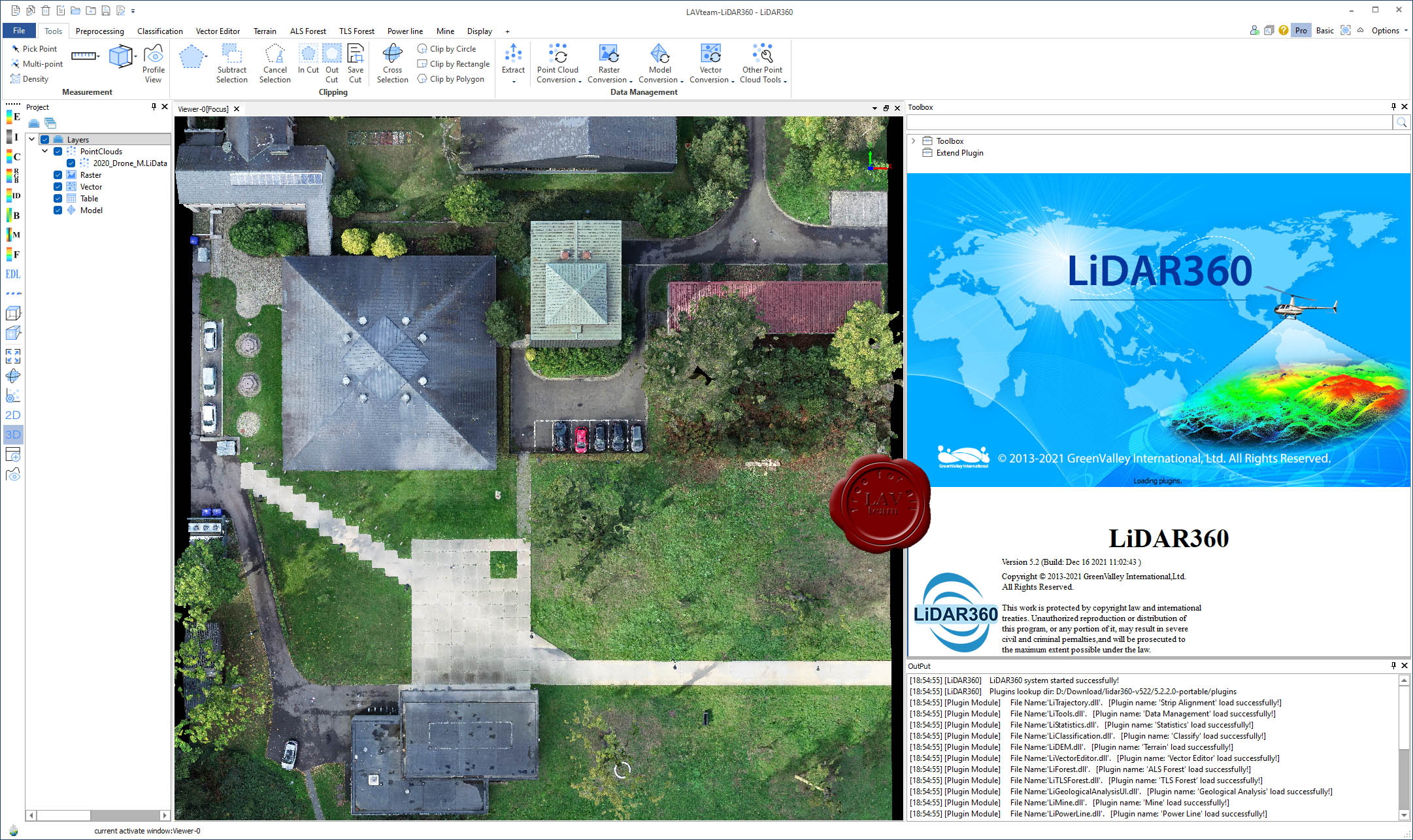
GreenValley LiDAR360 v5.2.2 portable
LiDAR360 - программная платформа для обработки и анализа облаков точек, полученных с помощью лазерного сканирования, включающая алгоритмы выравнивания, классификации, визуализации, редактирования, векторизации и интеграции с CAD/GIS.
Программа поддерживает использование искусственного интеллекта / машинного обучения для автоматической классификации точек (например, разделение поверхности, растительности, зданий и др.)
Имеются модули и расширения под различные прикладные области: рельеф, лесной покров, линии электропередач, горные работы, урбанизм и пр.
Некоторые области использования LiDAR360:
Топографическая съёмка (создание цифровых моделей поверхности, контуров).
Автор: Williams Дата: 17 сентября 2025
Просмотров: 350
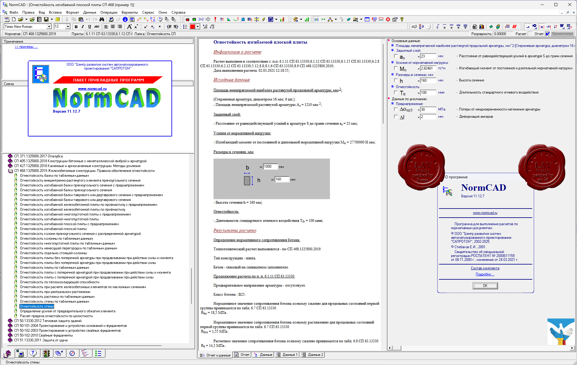
САПРОТОН NormCAD v11.12.7 x32+x64
NormCAD выполняет расчеты строительных конструкций по СНиП и готовит проектную документацию для представления заказчику и в органы экспертизы:
расчет стальных конструкций (расчет балок, колонн сплошного и составного сечения, профнастила и узлов ферм из гнутых профилей);
расчет железобетонных конструкций (расчет балок, колонн, стен и плит: подбор арматуры, проверка сечений - в т.ч. тавровых и двутавровых, косое внецентренное сжатие, расчет круглых колонн и колонн с распределенной арматурой, трещиностойкость, проверка прогиба, расчет на смятие и продавливание);
расчет каменных и армокаменных конструкций (проверка сечений - прямоугольных и тавровых на центральное и внецентренное сжатие, растяжение, срез, трещиностойкость и смятие);
расчет фундаментов;
теплотехнический расчет (сопротивление теплопередаче и паропроницанию стен, покрытий, перекрытий и светопрозрачных конструкций);
другие строительные и машиностроительные расчеты.
Главное преимущество - на сегодня это единственная программа, в которой расчет оформляется в виде текстового документа (в формате Word), подобному созданному опытным конструктором вручную, что позволяет легко проконтролировать любую часть расчета.
Автор: Williams Дата: 16 сентября 2025
Просмотров: 257
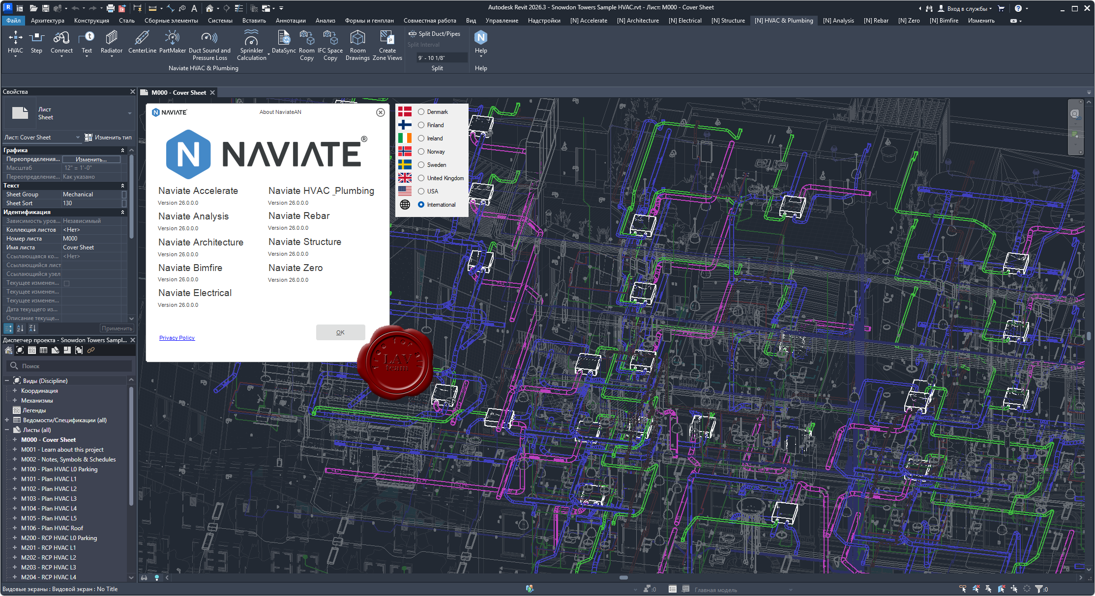
Symetri Naviate Suite for Autodesk Revit 2026
Naviate Accelerate provides enhanced functionality for all Revit users. Whatever industry you work in, Accelerate will help you improve your BIM workflows by offering expanded capabilities in Revit and reducing manual tasks.
Naviate Analysis (now Daylight) effortlessly automates daylight factor and daylight area ratio calculations in your BIM model to optimize lighting, window placement, and design elements. Create brighter, more comfortable work and living spaces with ease.
Naviate Architecture seamlessly integrates with the Revit platform, enhancing the collaboration features of BIM. With standardized concepts for detail levels, material definitions, and naming conventions, it ensures a smoother and more efficient design process for your projects.
Naviate Bimfire is made for Fire Safety Engineers to work directly in Revit. It enables you to transmit data from your Fire Safety models to the other collaborators in a building project. Instead of writing documentation and redlining Fire Safety drawings on the architectural PDF, Bimfire enables you to add documentation right into the building model — and to the elements within the underlying model too. This makes it much easier to add, find, and update Fire Safety information as needed.
Naviate Electrical allows you to work collaboratively and optimally in a building information modeling (BIM) environment. Electrical designs can be created simultaneously in both 3D and 2D, a big advantage when satisfying increasing demands and mandates for BIM delivery.
Naviate HVAC & Plumbing streamlines the design of HVAC, plumbing, and sprinkler systems in full 3D, with support for collaborative BIM projects.
Naviate Rebar streamlines 3D reinforcement detailing for Autodesk Revit. It helps you work faster, reduce errors, and handle complex projects with ease. Connected workflows help deliver construction ready models that meet local detailing codes. Save time on tasks and focus on what matters. Transform your workflow with Naviate Rebar.
Naviate Structure - an industry leading product that enables structural designers to automate modelling, detailing & scheduling of structural systems in Revit. Deliver rebar bending schedules and details to any global standard and extend traditional Revit workflows with powerful features for piling, concrete modelling, and documentation.
Naviate Zero makes smart, sustainable material selections directly in your Revit model.
OpenBridge Designer - полностью интегрированное приложение, которое создает результаты, полученные непосредственно из моделей мостов. Используйте один продукт для создания физических и аналитических моделей на протяжении всего жизненного цикла мостов всех типов.
OpenRail Designer – инновационное приложение для предварительного и рабочего проектирования железнодорожной инфраструктуры любого размера. Это многофункциональное решение, которое позволяет выполнять разнообразные комплексные задачи, такие как проектирование депо/станций, туннелей, моделирование путей, расстановку стрелочных переводов, проектирование контактной сети, проектирование канализационных и ливневых сетей и подземных коммуникаций и создание отчетов. В OpenRail Designer доступна поддержка широкого спектра международных стандартов, обеспечивающих гибкость и контроль, необходимые для работы с реальными сценариями в проектах железнодорожной инфраструктуры по всему миру. Приложение позволяет визуализировать этапы строительства и технического обслуживания железнодорожной инфраструктуры и подходит для работы над проектами легкорельсового транспорта, метро, городских трамваев, высокоскоростных железных дорог и поездов на магнитной подушке.
OpenRail Overhead Line Designer представляет новую комплексную среду моделирования для проектирования железнодорожных подвесных линий и путей. Это ПО, совместно разработанное компаниями Bentley Systems и Siemens Mobility, сочетает в себе технологию OpenRail Designer и возможности Sicat Master. Приложение внедряет 3D-технологии в мир систем подвесных контактных линий, выводя реализацию рабочих процессов за пределы традиционного планирования за счет разработки цифровых двойников, собирающих информацию об активах на протяжении всего их жизненного цикла. Внедрение технологии цифрового двойника позволит значительно сократить время производства строительной документации, включая планировку, отчеты и подробные структурные монтажные схемы.
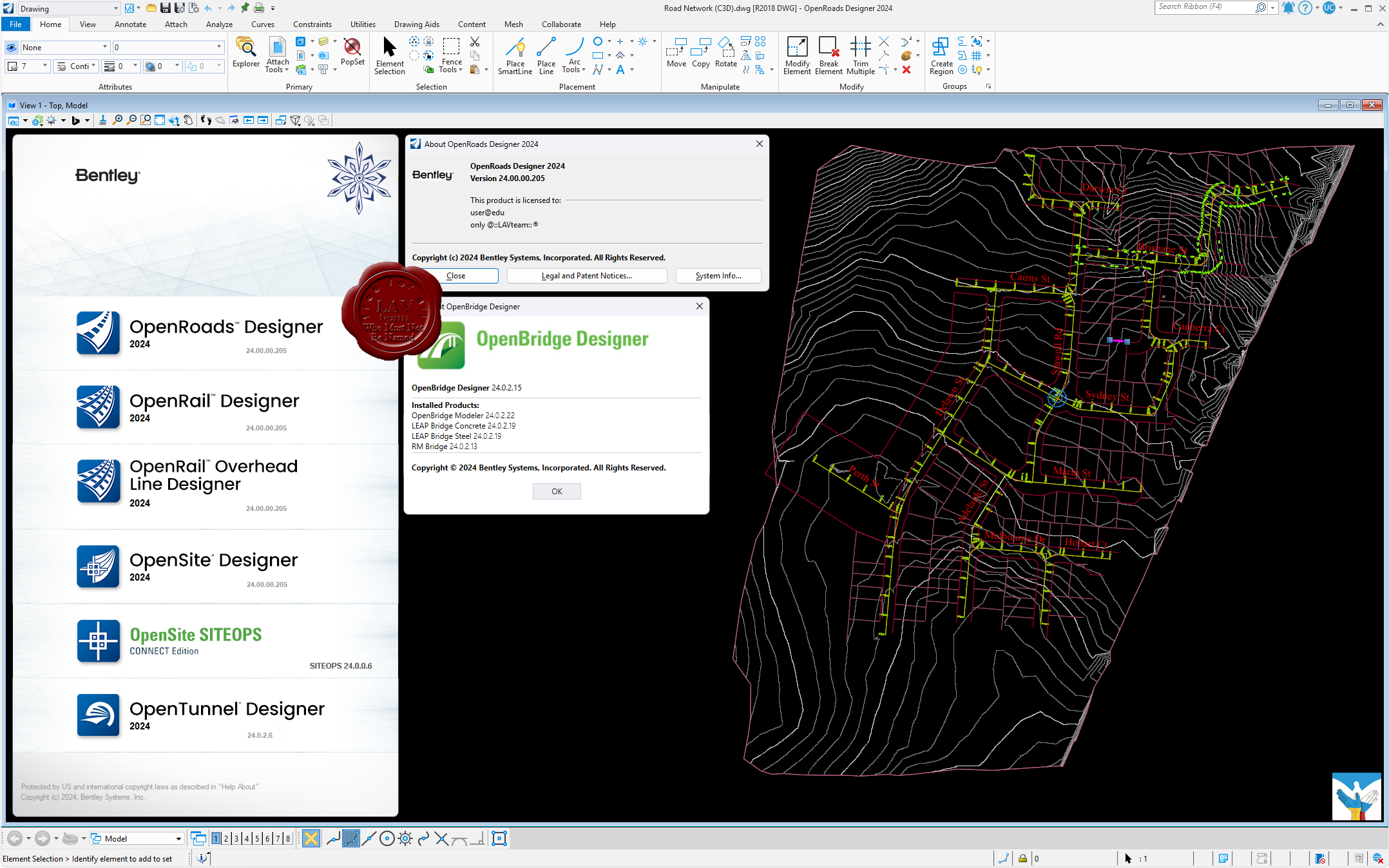
OpenRoads Designer служит для проектирования автомобильных дорог и в целом дорожной инфраструктуры. Но с некоторых пор программа включает в себя набор функций для подготовки и анализа маркшейдерских работ: расчет объема работ, проектирование бортов карьера по шаблону, создание, редактирование и обновление трехмерных поверхностей, подсчет объемов полезных ископаемых, расчет объема земляных работ, построение профилей и многое другое. OpenRoads Designer создает разбивочные планы, планы организации рельефа, план земляных масс и сводный план сетей, которые возможно оформить в полном соответствии с российскими нормами. Также данное ПО имеет обширный набор функций в части проведения изысканий: работа с многообъемными облаками точек (что очень важно, имея лазерный сканер на предприятии) и проведение над ним – классификации, построения сечений, проецирование элементов на облако точек; а также создание цифровой модели местности, работа с данными тахеометрической съемки, подключение растровых форматов и их редактирование.
OpenSite Designer - единственный правильный выбор для проектирования генплана. Это программное решение включает в себя возможности комплексного детального проектирования для быстрого моделирования и анализа проекта генплана, оптимизации и количественной оценки земляных работ, проектирования дренажных и подземных коммуникаций, а также автоматизированного выпуска проектной документации.
OpenTunnel Designer предназначен для моделирования и проектирования тоннелей и представляет собой инструмент, которые может использоваться специалистами различных дисциплин для облегчения работ по созданию тоннельной инфраструктуры, а также хранения в рамках единого приложения с интуитивным интерфейсом информации, которой могут воспользоваться все сотрудники рабочей группы. OpenTunnel Designer синхронизируется с программными продуктами Seequent для геологического и геотехнического анализа, позволяя сформировать комплексный рабочий процесс и централизованное пространство для работы с данными.
Автор: Williams Дата: 14 сентября 2025
Просмотров: 188
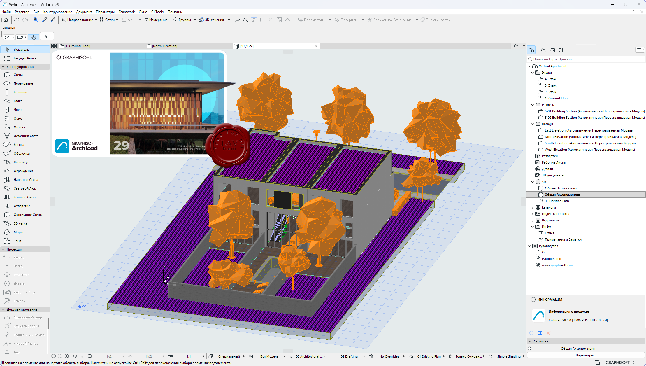
Graphisoft Archicad 29 build 3000 RUS+addons
ArchiCAD - это мощное приложение моделирования, которое позволяет архитекторам более эффективно проектировать здания с использованием технологии Virtual Building. ArchiCAD позволяет архитекторам сконцентрироваться именно на проектировании, выполняя эту работу самостоятельно или в коллективе, обмениваясь при этом данными с консультантами и специалистами в других областях.
Ключевые возможности Graphisoft ArchiCAD:
Интегрированные проектные варианты. Новое специализированное решение в Archicad позволяет централизованно и эффективно управлять множеством вариантов проектных решений. Управляйте постоянно меняющимся дизайном, быстро переключаясь между альтернативными вариантами. Принимайте наилучшие и взвешенные решения в кратчайшие сроки, эффективно оценивая и согласовывая различные варианты для проектов любых типов и масштабов.
Улучшенное управление реквизитами. В последние годы компания Graphisoft постоянно уделяет внимание совершенствованию управления сложными BIM-проектами. В Archicad 29 продолжено развитие этого направления, и теперь папки и функции поиска поддерживаются и для дополнительных реквизитов, таких как Штриховки и Линии. В использующих критерии диалогах (например, в Интерактивных Каталогах или в диалоге Найти и Выбрать) реквизиты также упорядочены по папкам, что упрощает настройку критериев.
Улучшения инструментов и рабочих процессов. Привязки Расстояний. Расширенные возможности поиска. Пользовательские группы для Правил Графической Замены. Улучшенные параметры форматирования Интерактивных Каталогов. Модернизированный Редактор GDL.
Передача Параметров Элементов. Теперь можно отключить передачу параметра "Смещения от Собственного Этажа" для Перекрытий и Крыш. Ранее эта возможность была доступна для Стен, Колонн, Балок и Объектов. (Раньше применение Избранного или Передача Параметров для Перекрытий и Крыш, могла привести к смещению их отметок из-за передачи параметра Смещения от Собственного Этажа).
Совместное редактирование линий и полилиний. Теперь эта функция работает надежно и стабильно.
Инструмент Ось. Панели ID и Свойств теперь доступны в Информационном Табло так же, как и для других инструментов.
Всплывающие окна Критериев и Полей. Эти поля были упорядочены, и содержащиеся в них элементы объединены в одинаковые группы во всем интерфейсе.
Табло Слежения. Теперь в Табло Слежения можно использовать операции деления и умножения (в дополнение к существовавшим функциям сложения и вычитания). Например: если значение расстояния равно 2000, введите 2/ и нажмите клавишу Enter, чтобы получить значение 1000. Можно также ввести 2*, чтобы получить значение 4000. Поле ввода увеличено, чтобы легче было увидеть все значение. Обновления Archicad. Централизованное распространение обновлений Archicad для всех пользователей организации.
Выноски. Повышена производительность при выборе и обновлении Выносок, а также при работе с пользовательскими Свойствами в Выносках.
Табло Оперативных Параметров. Поведение при изменении размера было обновлено. Кроме того, в Табло появился список Проектных Вариантов. При изменении размеров окна Archicad панели Оперативных Параметров больше не исчезают (как это было в предыдущих версиях), если область окна становится слишком узкой. Панели теперь сжимаются сильнее, чтобы всегда отображаться на экране. Если ширина рабочего окна слишком мала, то появляются всплывающие подсказки.
Размерный Текст. Поле "Многострочный" теперь называется "Специальное Значение" согласно пожеланиям пользователей. - Дублирование Профилей. Теперь при активации этой операции открывается Редактор Профилей, как при создании нового профиля. В предыдущих версиях Редактор Профилей не открывался автоматически, поэтому требовалось сделать дополнительный щелчок мышью.
Физически корректная визуализация (рендеринг) в 3D-видах Archicad (экспериментальная функция). Физически корректная визуализация в 3D-окне Archicad обеспечивает гораздо более яркое и реалистичное отображение 3D-модели. Эта экспериментальная функция позволяет осуществлять навигацию по реалистичным 3D-видам. Она имитирует мягкие тени, которые естественным образом возникают при непрямом или рассеянном освещении сцены.
Автор: Williams Дата: 13 сентября 2025
Просмотров: 188
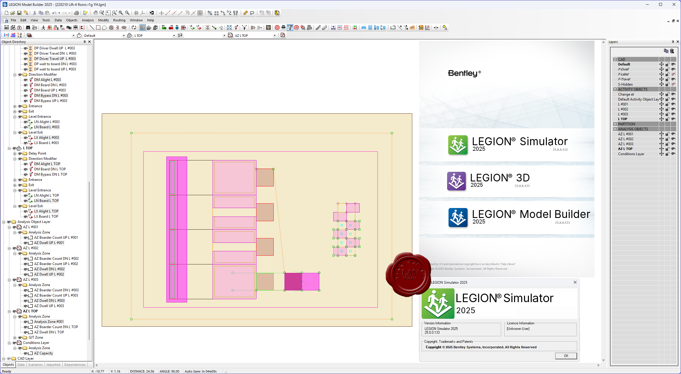
Bentley LEGION 3D & Model Builder & Simulator 2025 25.00.00.133
Bentley LEGION — это коммерческое программное обеспечение для моделирования движения пешеходов и анализа поведения людей в общественных пространствах.
LEGION Model Builder — модуль для построения моделей, задания параметров среды, маршрутов движения и характеристик пешеходов.
LEGION Simulator — модуль, выполняющий симуляцию движения людей на основе моделей, построенных в Model Builder, и выдающий аналитические данные.
LEGION Simulator API / SDK — программный интерфейс / набор разработки, позволяющий взаимодействовать с симулятором из внешних приложений или расширять его функциональность.
Автор: Williams Дата: 12 сентября 2025
Просмотров: 598
Adobe Acrobat Pro 2025 v25.1.20756 Multilingual x32+x64
Adobe Acrobat — пакет программ, выпускаемый с 1993 года компанией Adobe Systems и предназначенный для создания и просмотра электронных публикаций в формате PDF.
С помощью утилиты легко отредактировать документы, преобразовать их в другой формат или внести изменения. Данный формат считается довольно сложным для корректировки, но с помощью качественного программного обеспечения упрощается процесс работы.
Программа включает множество инструментов для преобразования и редактирования документов PDF, а также добавления в них подписей. Вы можете использовать его где угодно. Начните создавать документ в офисе, откорректируйте его по пути домой и отправьте финальную версию на утверждение уже из дома - это просто, быстро и удобно.
Автор: Williams Дата: 11 сентября 2025
Просмотров: 201
Chaos Enscape v4.12.0.204
Enscape 3D - это плагин виртуальной реальности и рендеринга в реальном времени для SketchUp (также для Revit, Rhino и ArchiCAD). Одним щелчком мыши вы можете запустить Enscape и в течение нескольких секунд пройтись по вашему полностью визуализированному проекту, не требуется загрузка в облако или экспорт в другие программы! Все изменения в SketchUp сразу же доступны для оценки в Enscape. Вы можете быстро изучить различные варианты дизайна и представить проекты клиентам. Если клиент хочет увидеть что-то другое в дизайне, Enscape немедленно покажет изменения, которые вы вносите в проект, даже в VR. С возможностью создания (веб) автономного файла вашего архитектурного проекта вы можете отправить файл Enscape своим клиентам или коллегам для быстрой демонстрации.