|
 |
 Автор: Williams Автор: Williams
 Дата: 12 марта 2023 Дата: 12 марта 2023
 Просмотров: 764 Просмотров: 764 |
| |
Schlumberger Flaresim 2023.1.132
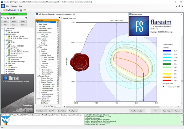
Softbits is one of the leading specialist companies worldwide in the field of flare simulation. Based in Hampshire in the south of the UK, we develop and maintain Flaresim – the sophisticated, state-of-the-art, industry-standard flare design application for the oil, gas, liquefied natural gas (LNG) and refining industries.
Flaresim is our highly developed and sophisticated flare simulation/design application. Designed by professional engineers, for professional engineers, it models thermal radiation and noise footprints generated by flare systems for offshore platforms, gas plants, refineries and chemical plants, and predicts the temperature of exposed surfaces within range. The application can analyse installations of any complexity, with unlimited multiple flare tips on multiple vertical, horizontal or inclined flare stacks. Users can model pipe flares, sonic flares and liquid burners using a range of algorithms. They can also enter and report data in units of their choice, and can convert data to other units at any time.
Flaresim provides full 3D flame-shape analysis with complete flexibility in the location and orientation of multiple stacks, and rapid evaluation of flare systems under different wind speeds and directions. Shield options can be included. Working from the opposite perspective, Flaresim allows you to size stack or boom length to meet specific radiation, noise or surface-temperature limits at defined receptor points. Flaresim includes gas dispersion models for both jet dispersion of flammable gases close to the stack and Gaussian dispersion of pollutants at longer distances. The output from Flaresim is highly customisable, and you can select either summary or detailed output. Flaresim has a user-friendly interface and incorporates context-sensitive help at every stage for user guidance. |
| |
 Читать статью дальше (комментариев - 4)
| |
|
 |
 Автор: Williams Автор: Williams
 Дата: 11 марта 2023 Дата: 11 марта 2023
 Просмотров: 2 432 Просмотров: 2 432 |
| |
Trimble eCognition Developer v10.3
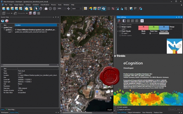
eCognition Developer представляет собой мощную среду разработки для объектно-ориентированного анализа изображений. Он используется в науках о Земле для разработки наборов правил для автоматического анализа данных дистанционного зондирования.
More info |
| |
 Читать статью дальше (комментариев - 11)
| |
|
 |
 Автор: Williams Автор: Williams
 Дата: 10 марта 2023 Дата: 10 марта 2023
 Просмотров: 465 Просмотров: 465 |
| |
Peters Research Elevate v7.11
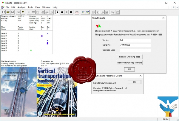
Elevate is software used by designers world-wide to select the number, size and speed of elevators for all types of new buildings. Elevate can also be used to demonstrate that modernizing an existing elevator installation will improve service for passengers.
Elevate’s features include:
- Analysis of elevator performance in offices, hotels, hospitals, shopping centers, residential buildings, car parks, mixed use buildings, airports, public buildings, sports and leisure complexes, schools and colleges.
- This is achieved by techniques ranging from up peak round trip time calculations through to full dynamic simulation.
- Dynamic simulation incorporating a graphical display of elevators responding to passenger calls. For your clients, this provides a convincing visual demonstration of your proposals.
- An easy to use Windows interface. Enter basic information for a quick analysis or comprehensive data for a detailed model.
- In addition to standard reports, transfer input data and results to Microsoft Excel at the click of a button. Excel reports also include extensive additional analysis results.
|
| |
 Читать статью дальше (комментариев - 10)
| |
|
 |
 Автор: Williams Автор: Williams
 Дата: 9 марта 2023 Дата: 9 марта 2023
 Просмотров: 454 Просмотров: 454 |
| |
Unity Technologies Pixyz Review 2022.1.1.4
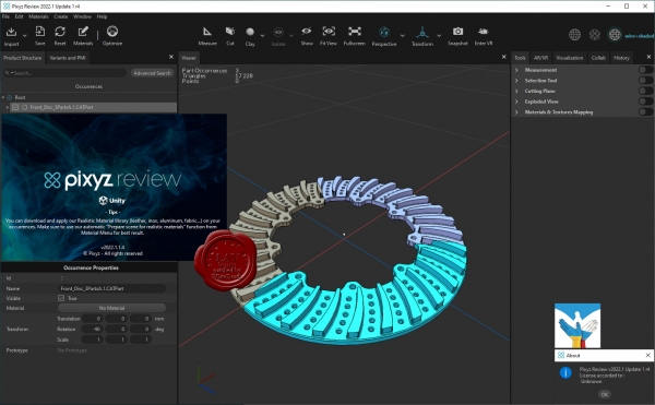
We believe 3D data should be accessible for study to anyone. Use Pixyz Review to instantly review, collaborate and interact with complex assemblies in desktop and/or VR.
Simply drag & drop your files. No conversion, no concern about formats: Pixyz Review deals with most native CAD, Mesh and Point Clouds files.
Study immediately your product – forget about lags. Navigate through dense product hierarchy, inspect and analyze large or complex assemblies with Pixyz Review’s powerful viewer.
Connect your headset, grab your controllers and switch to Virtual Reality. No VR expertise required. Analyze or interact with your model, fully immersed and focused. |
| |
 Читать статью дальше (комментариев - 6)
| |
|
 |
 Автор: Williams Автор: Williams
 Дата: 8 марта 2023 Дата: 8 марта 2023
 Просмотров: 567 Просмотров: 567 |
| |
Unity Technologies Pixyz Studio 2022.1.1.4
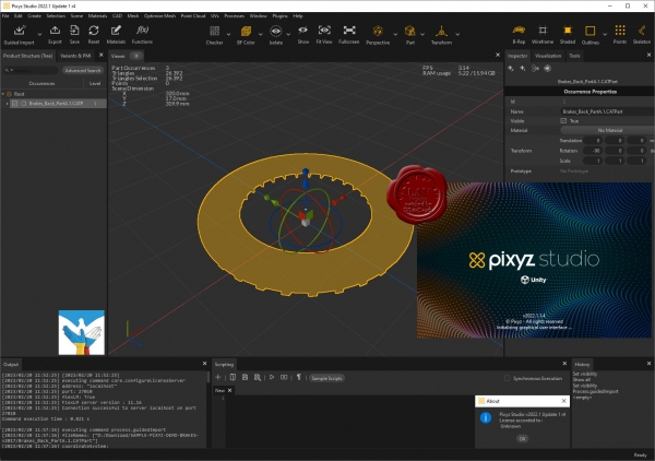
Pixyz Studio is a unique 3D data preparation tool providing the best-in-class tessellation algorithm, enabling the transformation of CAD data from industry-leading solutions (Catia, NX, SolidWorks…) into lightweight, optimized meshes.
Pixyz Studio’s interactive user interface gives access to a large set of features and algorithms for 3D data optimization. It also embeds a Python API, allowing advanced users to create powerful scripts and plugins, to automate complex data preparation tasks.
Pixyz Studio helps companies leverage their 3D/CAD data, preparing it for Real-time 3D use, and for any visualization scenario.
|
| |
 Читать статью дальше (комментариев - 7)
| |
|
 |
 Автор: Williams Автор: Williams
 Дата: 7 марта 2023 Дата: 7 марта 2023
 Просмотров: 724 Просмотров: 724 |
| |
Ellis PaleoScan 2022.2.0 r39011
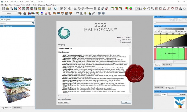
PaleoScan is a new generation of 3D seismic interpretation software, where geoscientists build a geological model while interpreting seismic volumes. With this new release, Eliis continues to innovate in seismic interpretation and brings more tools to interpret larger seismic datasets, with added speed and precision. The 2022 version brings more options to complete the workflow from exploration to reservoir characterization, with various new tools: complete 2D interpretation workflow, velocity modeling, cross plots from logs, coordinates reference system management.
|
| |
 Читать статью дальше (комментариев - 9)
| |
|
 |
 Автор: Williams Автор: Williams
 Дата: 6 марта 2023 Дата: 6 марта 2023
 Просмотров: 3 833 Просмотров: 3 833 |
| |
Leica Cyclone 2023.0.0 build 8304
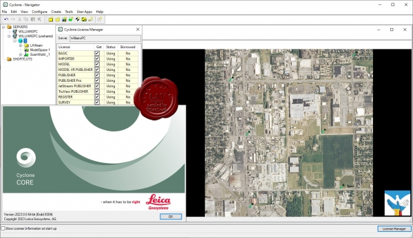
Leica Cyclone является лучшим на рынке программным обеспечением для обработки облаков точек. Это семейство программных модулей, обеспечивающих самый широкий диапазон технологических процессов при лазерном 3D-сканировании в машиностроении, геодезии, строительстве и смежных областях.
Для организаций, которым необходимо добавить данные облаков точек в свои технологические процессы, Leica Cyclone является единственным решением, способным сформировать все необходимые результаты. В отличие от ПО других поставщиков, Leica Cyclone эффективно работает в соответствии с любыми проектными требованиями, принося прибыль вашей организации.
Ключевой компонент комплексного решения — семейство Cyclone. Различные модули Cyclone проведут пользователя от начала и до конца технологического цикла при реализации проектов любого типа, предусматривающих работу с облаками точек.
Существуют модули, позволяющие использовать такие операции сбора данных на объектах с помощью лазерных сканеров Leica Geosystems, как маршрутная съемка, задний отсчет, визирование с обратными засечками, а также привязку данных сканерами Leica RTC360 с помощью визуальной инерциальной системы (VIS) для обеспечения комплексных сбора и регистрации данных на уровне профессиональной топографической съемки. Функциональность таких модулей включает процедуры автоматизации, работающие в режиме диалога с пользователем и выполняющие большинство задач за него, и богатейший набор инструментов для обеспечения и контроля качества, а также настройки и анализа процессов съемки.
Существуют и другие модули, предназначенные для формирования широкого спектра выходных материалов: от отчетов и карт до 3D-моделей, фильмов, анимированных роликов и компактных форматов 3D-данных, которые можно свободно пересылать по Интернету. Эти модули могут использоваться в различных процессах широкого спектра отраслей, включая проектирование сооружений, создание 3D-моделей готовых сооружений, топографическую съемку, информационное моделирование зданий и многие другие.
Используя файлы в разработанном компанией Leica Geosystems формате универсального проектного файла (LGS), пользователи могут передавать данные цифровой реальности между Cyclone и любым использующим технологию HDS программным обеспечением.
Для большего удобства использования, комплекс состоит из отдельных программных модулей, используемых для разных целей:
|
| |
 Читать статью дальше (комментариев - 24)
| |
|
 |
 Автор: Williams Автор: Williams
 Дата: 5 марта 2023 Дата: 5 марта 2023
 Просмотров: 953 Просмотров: 953 |
| |
Blue Marble Geographic Calculator 2023 build 1183
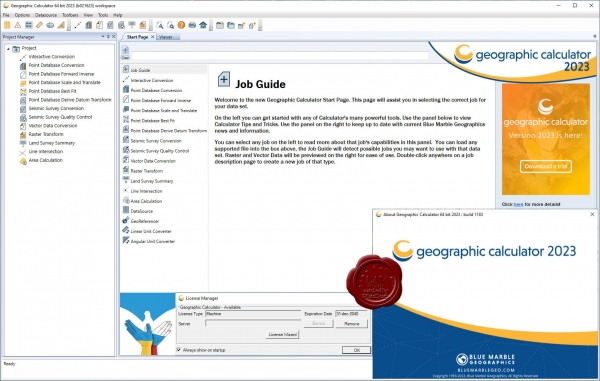
Geographic Calculator is a powerful geodetic application with particular strength in survey, seismic, and energy exploration. In addition to single point, point database, and file conversion tools, this highly accurate transformation software includes many specialized tools such as Canadian DLS (Dominion Land Survey) Land Grid tools, Seismic Survey Conversion tools, Area of Use tools for guiding users, HTDP, Geoid Creation tools, and much more. Geographic Calculator supports a wide range of file formats with support from the largest geodetic parameter database available anywhere. When transformations have to be correct, consistent and certifiable, GIS professionals around the world choose Geographic Calculator. |
| |
 Читать статью дальше (комментариев - 8)
| |
|
 |
| ПОИСК ПО САЙТУ |
 |
|
 |
|