|
 |
 Автор: Williams Автор: Williams
 Дата: 21 октября 2021 Дата: 21 октября 2021
 Просмотров: 3 039 Просмотров: 3 039 |
| |
Wilpen Gorr, Kristen Kurland - GIS Tutorial for ArcGIS Pro 2.8, 4th Edition
Esri Press, 2021
pdf, 263 pages, english
ISBN: 9781589486805
Updated for the latest version of ArcGIS Pro, GIS Tutorial for ArcGIS Pro 2.8 is the book of choice for classrooms and self-learners seeking to begin or grow their expertise using Esri’s premier desktop geographic information system (GIS) technology.
This fourth edition features newly revised geocoding workflows. Students will find simplified steps and figures that match the 2.8 interface. When finished, readers will have learned how to make maps; find, create, and analyze data; and manage operational systems while using ArcGIS Pro, ArcGIS Online, ArcGIS StoryMaps, ArcGIS Dashboards, ArcGIS Collector, and more.
Free downloadable video lectures and lecture slides boost learning outcomes. Additional instructor resources augment instruction.
Since 2005, Carnegie Mellon educators Kristen Kurland and Wil Gorr have been sharing what works in their own teaching experiences. Their other titles include GIS Tutorial for Crime Analysis, GIS Tutorial for Health, and GIS Jumpstart for Health Professionals. |
| |
 Читать статью дальше (комментариев - 13)
| |
|
 |
 Автор: Williams Автор: Williams
 Дата: 20 октября 2021 Дата: 20 октября 2021
 Просмотров: 1 955 Просмотров: 1 955 |
| |
CSoft WiseImage Pro v21.0.3615.1970 for Autodesk AutoCAD 2018-2022
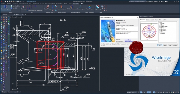
WiseImage for Windows is the new generation of 2D standalone, raster to vector conversion software with raster editing and drawing revision features. WiseImage allows you to make fast changes do editing and correction or automatic and semi-automatic raster-to-vector conversion of technical drawings, scanned maps, plans, drafts, sketches and other graphics. WiseImage is acquainted for its greater editing and cleanup tools outside the CAD surroundings. It combines raster and vector with CAD functionality and image processing skills effortlessly, everything in single cost-cutting software.
WiseImage — мощный интеллектуальный редактор и векторизатор цветного, полутонового и монохромного растра. С его помощью можно повышать качество сканированных чертежей, эскизов, карт и другой графической информации, редактировать их и преобразовывать в векторный вид. Благодаря реализованной в WiseImage технологии интеллектуального растрового и гибридного редактирования этот продукт стал признанным лидером в своей области. Редактирование растра с использованием САПР-технологий позволяет обрабатывать растровые объекты теми же способами, которые применяются для работы с векторами в традиционных системах автоматизированного проектирования. Полная поддержка многостраничных файлов, механизм интеллектуального растрового выбора, настройка интерфейса в стиле Windows XP, поддержка прямого сканирования и печати, а также открытая архитектура делают WiseImage оптимальным выбором для обработки растровых изображений, векторизации и двумерного черчения. |
| |
 Читать статью дальше (комментариев - 6)
| |
|
 |
 Автор: Williams Автор: Williams
 Дата: 19 октября 2021 Дата: 19 октября 2021
 Просмотров: 1 502 Просмотров: 1 502 |
| |
CSoft WiseImage Pro Standalone v21.0.1720.1842 x32+x64
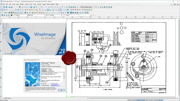
WiseImage for Windows is the new generation of 2D standalone, raster to vector conversion software with raster editing and drawing revision features. WiseImage allows you to make fast changes do editing and correction or automatic and semi-automatic raster-to-vector conversion of technical drawings, scanned maps, plans, drafts, sketches and other graphics. WiseImage is acquainted for its greater editing and cleanup tools outside the CAD surroundings. It combines raster and vector with CAD functionality and image processing skills effortlessly, everything in single cost-cutting software.
WiseImage — мощный интеллектуальный редактор и векторизатор цветного, полутонового и монохромного растра. С его помощью можно повышать качество сканированных чертежей, эскизов, карт и другой графической информации, редактировать их и преобразовывать в векторный вид. Благодаря реализованной в WiseImage технологии интеллектуального растрового и гибридного редактирования этот продукт стал признанным лидером в своей области. Редактирование растра с использованием САПР-технологий позволяет обрабатывать растровые объекты теми же способами, которые применяются для работы с векторами в традиционных системах автоматизированного проектирования. Полная поддержка многостраничных файлов, механизм интеллектуального растрового выбора, настройка интерфейса в стиле Windows XP, поддержка прямого сканирования и печати, а также открытая архитектура делают WiseImage оптимальным выбором для обработки растровых изображений, векторизации и двумерного черчения. |
| |
 Читать статью дальше (комментариев - 12)
| |
|
 |
 Автор: Williams Автор: Williams
 Дата: 16 октября 2021 Дата: 16 октября 2021
 Просмотров: 1 806 Просмотров: 1 806 |
| |
DesignSense GeoTools v22.23 for AutoCAD & BricsCAD
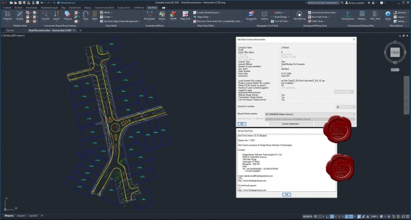
GeoTools is an add-on program for AutoCAD and Bricscad which provides you with a number of useful productivity tools that are designed exclusively for the geographic data user. It is a heterogenous collection of CAD tools that are useful for users in the mapping, surveying, GIS, facilities planning, real estate and infrastructure management industry.
GeoTools is a time-saver productivity tools built for geo-data using CAD users who want to work smart and not hard. In the AutoCAD version of GeoTools, there are a large number of AutoCAD Map tools as well that making working with object data a breeze.
GeoTools functions are arranged in easily categorized pull-down menus, toolbars and also as tabbed ribbons in AutoCAD 2013 and later versions. Some of the borad category of tools you will find in GeoTools are Polyline, Annotation, Drawing Cleanup, Digitizing, AutoCAD Map, Inquiry and so on.
|
| |
 Читать статью дальше (комментариев - 9)
| |
|
 |
 Автор: Williams Автор: Williams
 Дата: 15 октября 2021 Дата: 15 октября 2021
 Просмотров: 1 253 Просмотров: 1 253 |
| |
DesignSense CADPower v22.23 for AutoCAD & BricsCAD
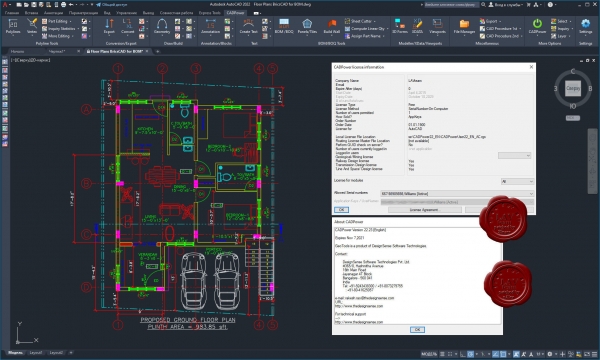
CADPower is an add-on software to help you increase your productivity with AutoCAD and Bricscad. It helps you work smarter, faster and eliminates various bottleneck you might face using just your CAD software. In short, CADPower adds more value and power to your CAD software. CADPower is a collection of frequently asked tools for various CAD operations. The tools are categorized in easily accessible categories like Polyline, Blocks, Attributes, Draw, Selection, Inquiry, Miscellaneous and so on. They are available as pull-down menus, toolbars, tabbed ribbons (AutoCAD 2012 and later), as well as from the command-line as directly callable commands. Most of the commands also offer command-line versions (without dialog boxes) which can also be used in automated processing using scripts.
|
| |
 Читать статью дальше (комментариев - 7)
| |
|
 |
 Автор: Williams Автор: Williams
 Дата: 12 октября 2021 Дата: 12 октября 2021
 Просмотров: 2 492 Просмотров: 2 492 |
| |
CSI Detail v18.2.0 build 11040 x64
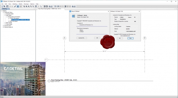
CSiDetail is an integrated and interactive software product for generating detailing output, such as detailed views, drawings, bills of materials (BOM), and bills of quantities (BOQ) from ETABS models. CSiDetail creates a detailed model of the structure, based on its analysis model and the design process carried out in ETABS. It automatically generates views and drawings that can be used as the basis for preparing final engineering drawings, as well as BIM files for use in BIM tools. Detailing can be carried out both for concrete and steel buildings. CSiDetail generates reinforcement details for slabs, beams, columns, and walls, grouping similar beams and columns in the process. Reinforcement details are presented in the form of tables and schedules for groups of components, as well as drawn in plans, elevations, and sections for individual elements. The rebar cage of individual components or the entire structure can be viewed in an interactive 3D model, showing individual rebars in true 3D coordinates. Detailing is carried out based on an extensive set of preferences and rules to control bar-size selection, spacing, curtailment, and placement. Preferences and rules can be user-defined, conforming to various design codes and local practice. This provides full customization capability for controlling how detailing is carried out and output is generated. CSiDetail has extensive capabilities for editing reinforcement. Generated views can be edited or formatted as needed. Drawings can be generated automatically for selected floors and components or created individually by combining required views. Both drawings and individual views can be exported as DXF files to CAD programs or printed directly. Framing plans, framing elevations and sections are generated automatically, and presented in tabular format. Elevations and sections of individual beams and columns are also available if needed. |
| |
 Читать статью дальше (комментариев - 36)
| |
|
 |
| ПОИСК ПО САЙТУ |
 |
|
 |
|