|
 |
 Автор: Williams Автор: Williams
 Дата: 15 августа 2021 Дата: 15 августа 2021
 Просмотров: 2 816 Просмотров: 2 816 |
| |
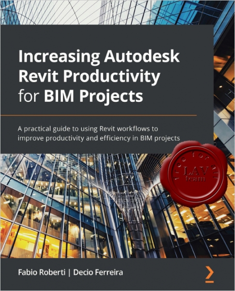
Fabio Roberti, Decio Ferreira - Increasing Autodesk Revit Productivity for BIM Projects
Packt, 2021
pdf, 493 pages, english
ISBN: 978-1-80056-680-4

Revit software helps architects, BIM coordinators, and BIM managers to create BIM models and analyze data to improve design and construction. Building Information Modeling (BIM) has promoted a transformation in the engineering and construction industries where information is at the core of a methodology that improves productivity, providing several benefits in comparison to the traditional 2D CAD process. This book takes a hands-on approach to implementing this new methodology effectively.
Complete with step-by-step explanations of essential concepts and practical examples, this Revit book begins by explaining the principles of productivity in Revit and data management for BIM projects. You'll get to grips with the primary BIM documentation to start a BIM project, including the contract, Exchange Information Requirements (EIR), and BIM Execution Plan (BEP/BXP). Later, you'll create a Revit template, start a Revit project, and explore the core functionalities of Revit to increase productivity. Once you've built the foundation, you'll learn about Revit plugins and use Dynamo for visual programming and Power BI for analyzing BIM information.
By the end of this book, you'll have a solid understanding of Revit as construction and design software, how to increase productivity in Revit, and how to apply multiple workflows in your project to manage BIM. |
| |
 Читать статью дальше (комментариев - 9)
| |
|
 |
 Автор: Williams Автор: Williams
 Дата: 9 августа 2020 Дата: 9 августа 2020
 Просмотров: 2 310 Просмотров: 2 310 |
| |
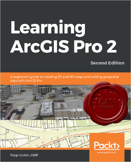
Tripp Corbin - Learning ArcGIS Pro 2, Second Edition
+ training files
Packt, 2020
pdf, 535 pages, english
ISBN: 978-1-83921-022-8

Armed with powerful tools to visualize, maintain, and analyze data, ArcGIS Pro 2 is Esri's newest desktop geographic information system (GIS) application that uses the modern ribbon interface and a 64-bit processor to make using GIS faster and more efficient. This second edition of Learning ArcGIS Pro will show you how you can use this powerful desktop GIS application to create maps, perform spatial analysis, and maintain data.
The book begins by showing you how to install ArcGIS and listing the software and hardware prerequisites. You’ll then understand the concept of named user licensing and learn how to navigate the new ribbon interface to leverage the power of ArcGIS Pro for managing geospatial data. Once you’ve got to grips with the new interface, you’ll build your first GIS project and understand how to use the different project resources available. The book shows you how to create 2D and 3D maps by adding layers and setting and managing the symbology and labeling. You’ll also discover how to use the analysis tool to visualize geospatial data. In later chapters, you’ll be introduced to Arcade, the new lightweight expression language for ArcGIS, and then advance to creating complex labels using Arcade expressions. Finally, you'll use Python scripts to automate and standardize tasks and models in ArcGIS Pro.
By the end of this ArcGIS Pro book, you’ll have developed the core skills needed for using ArcGIS Pro 2.x competently. |
| |
 Читать статью дальше (комментариев - 10)
| |
|
 |
 Автор: Williams Автор: Williams
 Дата: 26 июня 2020 Дата: 26 июня 2020
 Просмотров: 3 474 Просмотров: 3 474 |
| |
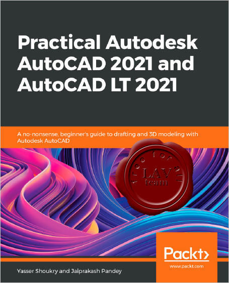
Yasser Shoukry, Jaiprakash Pandey - Practical Autodesk AutoCAD 2021 and AutoCAD LT 2021
A no-nonsense, beginner's guide to drafting and 3D modeling with Autodesk AutoCAD
Packt, 2020
pdf, 818 pages, english
ISBN: 978-1-78980-915-2

Learn 2D drawing and 3D modeling from scratch using AutoCAD 2021 and its more affordable LT version to become a CAD professional.
Key Features
- Explore the AutoCAD GUI, file format, and drawing tools to get started with CAD projects.
- Learn to use drawing management tools for working efficiently on large projects.
- Discover techniques for creating, modifying, and managing 3D models and converting 2D plans into 3D models
AutoCAD and AutoCAD LT are one of the most versatile software applications for architectural and engineering designs and the most popular computer-aided design (CAD) platform for 2D drafting and 3D modeling. This hands-on guide will take you through everything you need to know to make the most out of this powerful tool, starting from a simple tour of the user interface through to using advanced tools.
Starting with basic drawing shapes and functions, you'll get to grips with the fundamentals of CAD designs. You'll then learn about effective drawing management using layers, dynamic blocks, and groups and discover how to add annotations and plot like professionals. The book delves into 3D modeling and helps you convert your 2D drawings into 3D models and shapes. As you progress, you'll cover advanced tools and features such as isometric drawings, drawing utilities for managing and recovering complex files, quantity surveying, and multidisciplinary drawing files using xRefs, and you'll learn how to implement them with the help of practical exercises at the end of each chapter. Finally, you'll get to grips with rendering and visualizing your designs in AutoCAD.
By the end of the book, you'll have developed a solid understanding of CAD principles and be able to work with AutoCAD software confidently to build impressive 2D and 3D drawings. |
| |
 Читать статью дальше (комментариев - 10)
| |
|
 |
 Автор: Williams Автор: Williams
 Дата: 7 декабря 2019 Дата: 7 декабря 2019
 Просмотров: 1 848 Просмотров: 1 848 |
| |
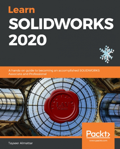
Tayseer Almattar - Learn SoldWorks 2020
Packt Publishing, 2019
pdf, 576 pages, english
ISBN 978-1-78980-410-2

Tayseer Almattar holds a bachelor's (B.S.) degree in mechanical engineering and a Master of Design (MDes) degree in international design and business management. He has 6 years of experience in corporate training, instructional design, and quality assurance training. He has also been an avid user of SOLIDWORKS for over 10 years and has published multiple online SOLIDWORKS training courses with about 15,000 enrolled students from over 100 countries. With this book, Tayseer has brought together his experience of design and training to produce a unique and practical SOLIDWORKS training experience in writing.
SOLIDWORKS is one of the most used pieces of software for 3D engineering and product design applications. These applications cover areas such as aviation, automobiles, consumer product design, and more. This book takes a practical approach to mastering the software at a professional level. The book starts with the very basics, such as exploring the software interface and opening new files. However, step by step, it progresses through different topics, from sketching and building complex 3D models to generating dynamic and static assemblies.
This book takes a hands-on approach when it comes to covering different tools in SOLIDWORKS. Whenever a new tool is introduced, we will go through a practical exercise of using it to create sketches, 3D part models, assemblies, or drawings. When required, we will provide you with supporting files that you can download in order to follow up on the concepts and exercises in your own time. If you are a complete beginner in SOLIDWORKS, it will be best to follow the book from start to finish, like a story. However, you can also jump between chapters. |
| |
 Читать статью дальше (комментариев - 5)
| |
|
 |
 Автор: Williams Автор: Williams
 Дата: 29 января 2018 Дата: 29 января 2018
 Просмотров: 3 557 Просмотров: 3 557 |
| |
Eric Pimpler - Spatial Analytics with ArcGIS
with training data files
Packt Publishing, 2017
pdf, 285 pages, english
ISBN: 978-1-78712-258-1

Spatial statistics has the potential to provide insight that is not otherwise available through traditional GIS tools. This book is designed to introduce you to the use of spatial statistics so you can solve complex geographic analysis. The book begins by introducing you to the many spatial statistics tools available in ArcGIS. You will learn how to analyze patterns, map clusters, and model spatial relationships with these tools. Further on, you will explore how to extend the spatial statistics tools currently available in ArcGIS, and use the R programming language to create custom tools in ArcGIS through the ArcGIS Bridge using real-world examples. At the end of the book, you will be presented with two exciting case studies where you will be able to practically apply all your learning to analyze and gain insights into real estate data.
What you will learn:
- Get to know how to measure geographic distributions
- Perform clustering analysis including hot spot and outlier analysis
- Conduct data conversion tasks using the Utilities toolset
- Understand how to use the tools provided by the Mapping Clusters toolset in the Spatial Statistics Toolbox
- Get to grips with the basics of R for performing spatial statistical programming
- Create custom ArcGIS tools with R and ArcGIS Bridge
- Understand the application of Spatial Statistics tools and the R programming language through case studies
|
| |
 Читать статью дальше (комментариев - 26)
| |
|
 |
 Автор: Williams Автор: Williams
 Дата: 4 июля 2015 Дата: 4 июля 2015
 Просмотров: 3 351 Просмотров: 3 351 |
| |
Silas Toms - ArcPy and ArcGIS - Geospatial Analysis with Python
Packt Publishing, 2015
pdf, 224 pages, english
ISBN 978-1-78398-866-2

ArcGIS, the GIS software from industry leader ESRI, allows for the analysis and presentation of geospatial data.
The integration of Python into ArcGIS has made the ArcPy module an important tool for GIS students and professionals. The ArcPy module provides a powerful way to improve productivity when performing geospatial analysis. From basic Python scripting through advanced ArcPy methods and properties, ArcPy and other Python modules will improve the speed and repeatability of any GIS work flow.
This book will guide you from basic Python scripting to advanced scripting tools. It focuses on geospatial analysis scripting and touches on automating cartographic output. By the end of this book, you will be able to create reusable modules, add repeatable analyses as script tools in ArcToolbox, and export maps automatically. By reducing the time-consuming nature of GIS from days to hours, one GIS professional can become as powerful as a whole team. |
| |
 Читать статью дальше (комментариев - 14)
| |
|
 |
| ПОИСК ПО САЙТУ |
 |
|
 |
| КАЛЕНДАРЬ | | |
 |
| « Август 2025 » |
|---|
| Пн | Вт | Ср | Чт | Пт | Сб | Вс |
|---|
| | 1 | 2 | 3 | | 4 | 5 | 6 | 7 | 8 | 9 | 10 | | 11 | 12 | 13 | 14 | 15 | 16 | 17 | | 18 | 19 | 20 | 21 | 22 | 23 | 24 | | 25 | 26 | 27 | 28 | 29 | 30 | 31 |
|
 | |
| |
|