|
 |
 Автор: Williams Автор: Williams
 Дата: 15 августа 2022 Дата: 15 августа 2022
 Просмотров: 1 354 Просмотров: 1 354 |
| |
CSI CSiXCAD v19.2.0 build 0152
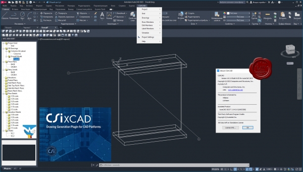
CSiXCAD - это плагин, разработанный компанией Computers and Structures для платформ AutoCAD и BricsCAD, ускоряющий выпуск чертежей благодаря интеграции с расчётным ПО ETABS/SAP2000. CSiXCAD реализует прямую связь между расчётной моделью конструкции, заданной в ETABS/SAP2000 и чертежами, получаемыми в CAD-программах на основе этой расчётной модели.
CSiXCAD предоставляет пользователю комплексную BIM модель в CAD-программе и позволяет работать со следующими элементами:
- Планы этажей.
- Разрезы.
- Схемы расположения балок и колонн.
- Схемы армирования балок в разрезе.
- Схемы армирования стен в плане и в разрезе.
- Схемы армирования плит в плане.
|
| |
 Читать статью дальше (комментариев - 7)
| |
|
 |
 Автор: Williams Автор: Williams
 Дата: 10 августа 2022 Дата: 10 августа 2022
 Просмотров: 8 667 Просмотров: 8 667 |
| |
CSI ETABS v20.3.0 build 2929 x64
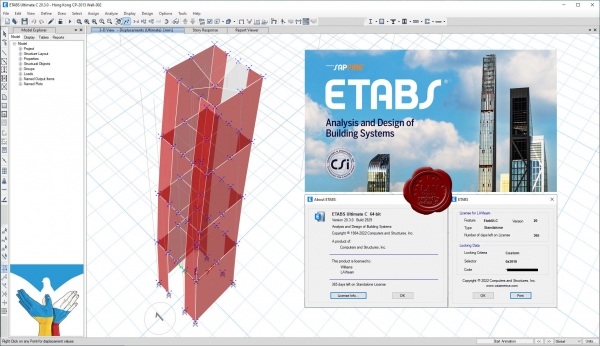
The innovative and revolutionary new ETABS is the ultimate integrated software package for the structural analysis and design of buildings. Incorporating 40 years of continuous research and development, this latest ETABS offers unmatched 3D object based modeling and visualization tools, blazingly fast linear and nonlinear analytical power, sophisticated and comprehensive design capabilities for a wide-range of materials, and insightful graphic displays, reports, and schematic drawings that allow users to quickly and easily decipher and understand analysis and design results.
From the start of design conception through the production of schematic drawings, ETABS integrates every aspect of the engineering design process. Creation of models has never been easier - intuitive drawing commands allow for the rapid generation of floor and elevation framing. CAD drawings can be converted directly into ETABS models or used as templates onto which ETABS objects may be overlaid. The state-of-the-art SAPFire 64-bit solver allows extremely large and complex models to be rapidly analyzed, and supports nonlinear modeling techniques such as construction sequencing and time effects (e.g., creep and shrinkage). Design of steel and concrete frames (with automated optimization), composite beams, composite columns, steel joists, and concrete and masonry shear walls is included, as is the capacity check for steel connections and base plates. Models may be realistically rendered, and all results can be shown directly on the structure. Comprehensive and customizable reports are available for all analysis and design output, and schematic construction drawings of framing plans, schedules, details, and cross-sections may be generated for concrete and steel structures.
ETABS provides an unequaled suite of tools for structural engineers designing buildings, whether they are working on one-story industrial structures or the tallest commercial high-rises. Immensely capable, yet easy-to-use, has been the hallmark of ETABS since its introduction decades ago, and this latest release continues that tradition by providing engineers with the technologically-advanced, yet intuitive, software they require to be their most productive. |
| |
 Читать статью дальше (комментариев - 56)
| |
|
 |
 Автор: Williams Автор: Williams
 Дата: 8 августа 2022 Дата: 8 августа 2022
 Просмотров: 2 453 Просмотров: 2 453 |
| |
ZwSoft ZWCAD 2023 Pro v23.00 ENG+RUS x64
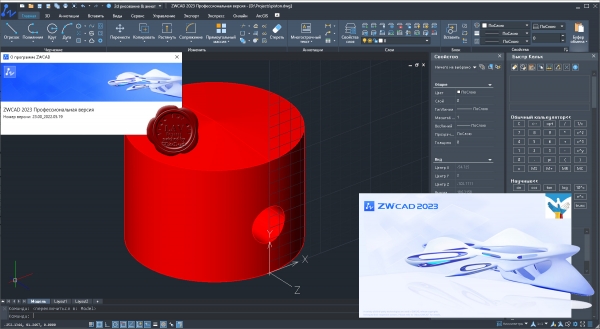
ZWCAD Professional - мощная система для 2D/3D проектирования и создания чертежей с полной поддержкой формата DWG, привычным интерфейсом и уникальными функциями, дающими значительное удобство в работе: умным выбором объектов по заданным критериям, сравнением чертежей, жестами мышью, голосовыми метками, умной печатью и многими другими. Являясь результатом постоянного совершенствования в течение более 20 лет, ZWCAD 2023 представляет собой надежное и эффективное решение САПР, которое выводит процесс проектирования на высочайший уровень.
Осуществляя поддержку программных интерфейсов .Net, VBA и ZRX, ZWCAD Professional позволяет использовать существующие, а также разрабатывать собственные специализированные решения для автоматизации работы инженеров, конструкторов, архитекторов и других специалистов. |
| |
 Читать статью дальше (комментариев - 12)
| |
|
 |
 Автор: Williams Автор: Williams
 Дата: 7 августа 2022 Дата: 7 августа 2022
 Просмотров: 9 910 Просмотров: 9 910 |
| |
Agisoft Metashape Pro v1.8.4 build 14671
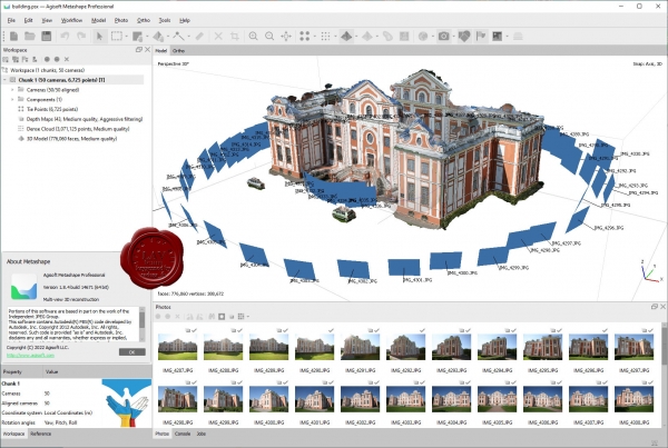
Agisoft Metashape Professional - это передовое программное обеспечение, максимально раскрывающее возможности фотограмметрии, а также включающее в себя технологии машинного обучения для анализа и пост-обработки, что позволяет получать максимально точные результаты.
Metashape позволяет обрабатывать изображения, получаемые с помощью RGB- или мультиспектральных камер, включая мультикамерные системы, преобразовывать снимки в плотные облака точек, текстурированные полигональные модели, геопривязанные ортофотопланы и цифровые модели рельефа/местности (ЦМР/ЦММ).
Дальнейшая постобработка позволяет удалять тени и искажения текстур с поверхности моделей, рассчитывать вегетационные индексы и составлять файлы предписаний для агротехнических мероприятий, автоматически классифицировать плотные облака точек и т.д.
Возможность экспорта во все внешние пакеты для постобработки делает Agisoft Metashape Professional универсальным фотограмметрическим инструментом.
|
| |
 Читать статью дальше (комментариев - 31)
| |
|
 |
 Автор: Williams Автор: Williams
 Дата: 6 августа 2022 Дата: 6 августа 2022
 Просмотров: 931 Просмотров: 931 |
| |
Oasys GSA v10.1.60.42
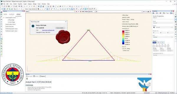
With Oasys GSA, you can analyse the structural design of any structure which needs to be iterated through many cycles of geometry definition, internal force analysis and code design. GSA gives engineers a versatile analysis and design software that integrates well within traditional and parametric workflows.
Engineers who analyse and design anything from small structures to complex buildings use Oasys GSA.
With a wide range of analysis options including a model debugging stability analysis, modal analysis, linear buckling, footfall vibration analysis, explicit nonlinear analysis and form-finding capabilities to meet the demands of any project, GSA allows the user to manipulate and check the model. Bidirectional interoperability with many industry-standard software packages including Revit and Grasshopper allows the software to work seamlessly with traditional and parametric workflows. APIs connect to developer’s scripts. With GSA, versatile design capabilities such as slab bending and axial reinforcement can be calculated for any geometric shape (even curved slabs) with rebar oriented at any angle in the plane of the slab, or steel design checks (including automatic unbraced length calculations) and optimization can be carried out for a large variety of section profiles and codes. There is a customizable set of saved graphical outputs that can be directed printed to calculation packages.
|
| |
 Читать статью дальше (комментариев - 7)
| |
|
 |
 Автор: Williams Автор: Williams
 Дата: 3 августа 2022 Дата: 3 августа 2022
 Просмотров: 2 439 Просмотров: 2 439 |
| |
Dlubal RX-TIMBER v2.29.01
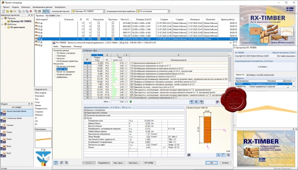
Пакет автономных программ RX-TIMBER осуществляет расчет дощатоклееных балок, неразрезных балок, и колонн, по предельным состояниям несущей способности и пригодности к эксплуатации в соответствии с нормами EN 1995‑1‑1:2010‑12/NA:2013‑08 (EC 5) и DIN 1052:2008-12
|
| |
 Читать статью дальше (комментариев - 12)
| |
|
 |
| ПОИСК ПО САЙТУ |
 |
|
 |
| КАЛЕНДАРЬ | | |
 |
| « Октябрь 2025 » |
|---|
| Пн | Вт | Ср | Чт | Пт | Сб | Вс |
|---|
| | 1 | 2 | 3 | 4 | 5 | | 6 | 7 | 8 | 9 | 10 | 11 | 12 | | 13 | 14 | 15 | 16 | 17 | 18 | 19 | | 20 | 21 | 22 | 23 | 24 | 25 | 26 | | 27 | 28 | 29 | 30 | 31 | |
|
 | |
| |
|