|
 |
 Автор: Williams Автор: Williams
 Дата: 11 июля 2020 Дата: 11 июля 2020
 Просмотров: 565 Просмотров: 565 |
| |
ADINA v9.6.1 x64
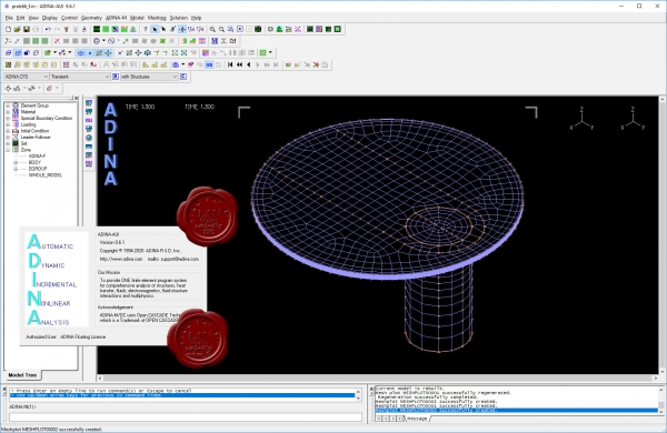
ADINA (Automatic Dynamic Incremental Nonlinear Analysis) - универсальная программа, работающая на основе метода конечных элементов, используемой для инженерных линейных и нелинейных расчётов. ADINA позволяет решать структурные и температурные задачи, рассчитывать течение, проводить мультифизические и электростатические симуляции. Внедрение программы при разработке или производстве продукта является лучшим решением для снижения затрат на производство прототипов и сокращения времени их тестирования. Современные расчётные методы, лежащие в основе программы ADINA , выгодно отличают её от остальных программ благодаря точным и надёжным результатам решения нелинейных задач.
Основные функциональные возможности пакета:
- Линейный анализ конструкций.
- Высоконелинейный анализ конструкций.
- Тепловой анализ.
- Гидродинамика.
- Взаимодействие потоков с конструкциями.
NX Nastran использует ADINA как модуль нелинейных расчетов.
Пакет ADINA состоит из следующих модулей:
- ADINA Structures - модуль расчёта статической и динамической прочности твёрдых тел и конструкций. Расчёт может быть проведён как в линейной, так и в высоконелинейной постановке с учётом нелинейности материала, больших деформаций и контакта.
- ADINA CFD – программный комплекс для моделирования течений сжимаемой и несжимаемой жидкости, использующий конечно-объемную и конечно-элементную дискретизацию.
- ADINA Thermal - программный модуль для решения задач теплопереноса в твёрдых телах и конструкциях.
- ADINA-FSI - модуль, предназначенный для анализа взаимодействия потока и конструкции, причём возможно рассмотрение высоконелинейного поведения материала вследствие больших перемещений, неупругости, контакта и температурной зависимости.
- ADINA-TMC - программный модуль, предназначенный для решения связанных термопрочностных задач, когда термические явления влияют на прочностные, и наоборот.
- ADINA User Interface (AUI) - пре- и постпроцессорный модуль, дающий возможность создавать и редактировать геометрические и конечно-элементные модели и осуществлять визуализацию результатов расчёта. Совместим со всеми модулями комплекса.
Дополнительные модули:
- ADINA Modeler (ADINA M) - встраиваемый в AUI модуль, использующий графическое ядро Parasolid и обеспечивающий твёрдотельное моделирование и прямое взаимодействие с другими CAD-системами, использующими Parasolid (Unigraphics, SolidWorks, Solid Edge).
- TRANSOR for I-DEAS, Patran - отдельный модуль, дающий возможность импортировать в ADINA и экспортировать из ADINA файлы данных в форматах I-DEAS и MSC.Patran
|
| |
 Читать статью дальше (комментариев - 3)
| |
|
 |
 Автор: Williams Автор: Williams
 Дата: 9 июля 2020 Дата: 9 июля 2020
 Просмотров: 7 191 Просмотров: 7 191 |
| |
Leica Infinity v3.2.1.3319
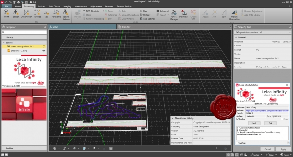
Leica Infinity - интуитивно понятное офисное программное обеспечение от компании Leica Geosystems - пришло на смену Leica Geo Office Геодезическая съемка сегодня предполагает наличие возможности гибко и быстро обрабатывать полевые данные и информацию их офиса в любом месте и передавать их. Сегодня более, чем когда-либо прежде, существует потребность в едином Рабочем процессе для всех проектов. Для реализации этой потребности и было разработано Leica Infinity : дружественная, интеллектуальная программная платформа с интеллектуальной информационной архитектурой, которая открывает безграничные возможности по организации рабочего процесса. В результате получаем повышение эффективности, прозрачности и просто улучшения всего процесса съемки.
Опционально программа имеет следующие модули и возможности:
- Обработка данных тахеометрии
- Обработка нивелирования с возможностью уравнивания по высоте
- 3D уравнивание
- Работа с поверхностями
- Работа с результатами сканирования
- Обработка одночастотных и многочастотных GNSS
Leica Infinity осуществит для Вашего проекта комплексную обработку различных видов данных: TPS, GNSS , изображения, сканирование. Многочисленные форматы данных можно легко редактировать, архивировать и экспортировать в CAD-приложения(системы проектирования) без потери целостности и «борьбы» с трудностями, часто встречающимися при преобразованиях. Это относится не только к данным от различных типов инструментов, но и данных, полученных с разных сайтов и от изыскательских команд. |
| |
 Читать статью дальше (комментариев - 40)
| |
|
 |
 Автор: Williams Автор: Williams
 Дата: 7 июля 2020 Дата: 7 июля 2020
 Просмотров: 1 314 Просмотров: 1 314 |
| |
Cadaplus APLUS v20.055
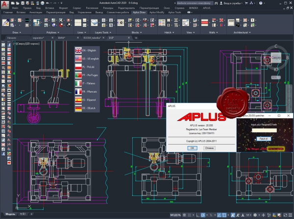
APLUS - это надстройка для Autodesk AutoCAD, повышающая функциональность путем добавления новых команд для ускориния разработки проекта. APLUS состоит из 2-х частей: команды для AutoCAD (APLUS) и набор блоков (BIINDEX).
О нововведения можно почитать тут
|
| |
 Читать статью дальше (комментариев - 11)
| |
|
 |
 Автор: Williams Автор: Williams
 Дата: 1 июля 2020 Дата: 1 июля 2020
 Просмотров: 353 Просмотров: 353 |
| |
KND SailingPerformance software Suite, June, 2020:
CrossoverChart v5.0.1, KndLogCleaner v2.4, OnboardAssistant v8.0.1,
PerfQuery v9.0.25, PolarManager v2.0.0, RaceReplay v13.0.80
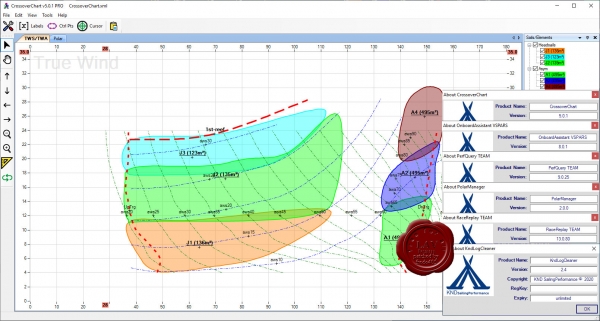
CrossoverChart. Create and maintain sail crossover. Never have to think twice about which is the optimal sail for the current weather! Start building your crossover from scratch or import information from your sail designer. Update and refine the crossover using past or live sailing data for quick and accurate decisions.
KNDLogCleaner. Clean-up your logs before use with our tools. Data logs come in all shapes and forms depending on how they were generated. If required this pre-processing tool lets you tidy your log up before it can be used with the rest of the tools.
OnboardAssistant. Manually log events while sailing. This program, specifically customized for ondeck touch screen devices, lets you document your day while you are sailing. It lets you create variables for information not collected by your electronics, such as which sails are up, who is at the helm, what mast you are using, your level of ballast, etc…
PerfQuery. Add the power of databases to your performance analysis. Make end of regattas/season reports, continuously update your polars, crossovers and targets based on multiple sailing sessions. Get the exact statistics of the life of your sails and gear, and much more.
PolarManager. View and manage your polars. This is the most intuitive program out there to view and edit your polars, giving you the ability to easily convert them from one format to another, overlay multiple polars, and even import sailing data for more accurate modification.
RaceReplay. Replay and analyze your sailing data. Upload your data log in order to replay your data. Use advanced algorithms for identifying calibration issues. View the data using a number of graphs and statistical modules. Create your performance reports. Update your polars, crossovers and targets based on your analysis. Synchronize audio, photo and videos to your track. |
| |
 Читать статью дальше (комментариев - 1)
| |
|
 |
 Автор: Williams Автор: Williams
 Дата: 25 июня 2020 Дата: 25 июня 2020
 Просмотров: 1 072 Просмотров: 1 072 |
| |
Nicestsolution Safety Barrier Manager v3.2.1604
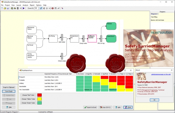
SafetyBarrierManager is a software tool that helps to analyse risk using safety-barrier diagrams. Safety-barrier diagrams show how safety barriers prevent accidents and how they improve safety in a clear and transparent way. Risk analysis using SafetyBarrierManager will become easier, better and understandable, also for non-experts.
SafetyBarrierManager allows you to:
- Describe accident scenarios in the form of safety-barrier diagrams.
- Perform qualitative and quantitative assessments of accident scenarios.
- Manage the documentation of foreseeable hazards, safety barriers and risk reducing measures.
- Extract tables with barriers, consequences, mitigating actions and more.
- Include links to other resources, such as on-line drawings or procedures.
- Publish safety-barrier diagrams an all other documentation and results directly on the web.
SafetyBarrierManager is the graphical implementation of Layer-Of-Protection-Analysis (LOPA). It is a tool with integrated fault-tree and event-tree assessment. It calculates the expected frequencies of the accident scenarios. It gives direct input to quantified risk analysis. Safety-barrier diagrams are very similar to bow-tie diagrams, but more versatile. |
| |
 Читать статью дальше (комментариев - 7)
| |
|
 |
 Автор: Williams Автор: Williams
 Дата: 22 июня 2020 Дата: 22 июня 2020
 Просмотров: 2 779 Просмотров: 2 779 |
| |
ASVIC Mech-Q Full Suite v4.21.001 for AutoCAD 2000-2021 x32+x64
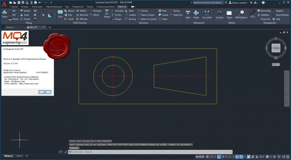
If your looking for powerful Engineering Software that that gets the job done, look no further. Mech-Q is AutoCAD Mechanical, Structural, HVAC, and Piping all in one suite!
Features:
- Comprehensive pipe, fittings, and valves.
- Create Rectangular, round and flat oval ducting.
- Includes range of mechanical symbols & housings, gears and more.
- Create steel details, shapes, stairs and more.
|
| |
 Читать статью дальше (комментариев - 10)
| |
|
 |
 Автор: Williams Автор: Williams
 Дата: 18 июня 2020 Дата: 18 июня 2020
 Просмотров: 4 299 Просмотров: 4 299 |
| |
Agisoft Metashape Pro v1.6.3 build 10723 x64
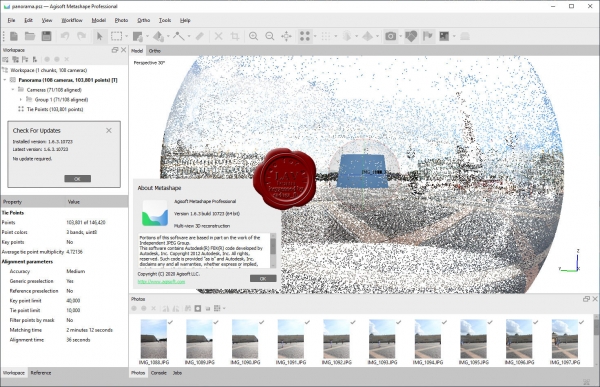
Agisoft Metashape Professional - это передовое программное обеспечение, максимально раскрывающее возможности фотограмметрии, а также включающее в себя технологии машинного обучения для анализа и пост-обработки, что позволяет получать максимально точные результаты.
Metashape позволяет обрабатывать изображения, получаемые с помощью RGB- или мультиспектральных камер, включая мультикамерные системы, преобразовывать снимки в плотные облака точек, текстурированные полигональные модели, геопривязанные ортофотопланы и цифровые модели рельефа/местности (ЦМР/ЦММ).
Дальнейшая постобработка позволяет удалять тени и искажения текстур с поверхности моделей, рассчитывать вегетационные индексы и составлять файлы предписаний для агротехнических мероприятий, автоматически классифицировать плотные облака точек и т.д.
Возможность экспорта во все внешние пакеты для постобработки делает Agisoft Metashape Professional универсальным фотограмметрическим инструментом.
|
| |
 Читать статью дальше (комментариев - 27)
| |
|
 |
 Автор: Williams Автор: Williams
 Дата: 16 июня 2020 Дата: 16 июня 2020
 Просмотров: 2 249 Просмотров: 2 249 |
| |
CSI Bridge v22.1.0 build 1639 x64
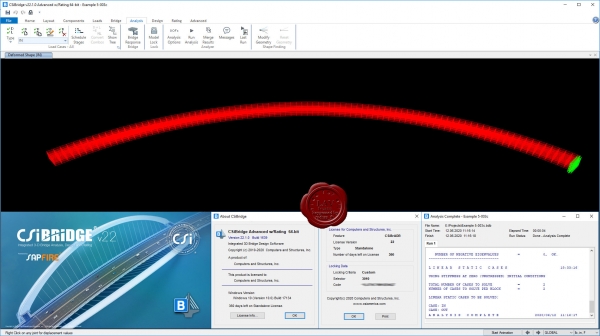
Modeling, analysis and design of bridge structures have been integrated into CSI Bridge to create the ultimate in computerized engineering tools. The ease with which all of these tasks can be accomplished makes CSI Bridge the most versatile and productive software program available on the market today.
Using CSI Bridge, engineers can easily define complex bridge geometries, boundary conditions and load cases. The bridge models are defined parametrically, using terms that are familiar to bridge engineers such as layout lines, spans, bearings, abutments, bents, hinges and post-tensioning. The software creates spine, shell or solid object models that update automatically as the bridge definition parameters are changed.
CSI Bridge design allows for quick and easy design and retrofitting of steel and concrete bridges. The parametric modeler allows the user to build simple or complex bridge models and to make changes efficiently while maintaining total control over the design process. Lanes and vehicles can be defined quickly and include width effects. Simple and practical Gantt charts are available to simulate modeling of construction sequences and scheduling.
CSI Bridge includes an easy to follow wizard that outlines the steps necessary to create a bridge model.
Completely integrated within the CSI Bridge design package is the power of the SAPFire analysis engine, including staged construction, creep and shrinkage analysis, cable tensioning to target forces, camber and shape finding, geometric nonlinearity (P-delta and large displacements), material nonlinearity (superstructure, bearings, substructure and soil supports), buckling and static and dynamic analysis. All of these apply to a single comprehensive model. In addition, AASHTO LRFD design is included with automated load combinations, superstructure design and the latest seismic design.
|
| |
 Читать статью дальше (комментариев - 16)
| |
|
 |
 Автор: Williams Автор: Williams
 Дата: 14 июня 2020 Дата: 14 июня 2020
 Просмотров: 6 805 Просмотров: 6 805 |
| |
CSI SAP2000 v22.1.0 build 1639 x64
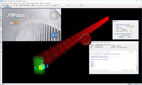
CSI SAP2000 - cистема трехмерного статического и динамического анализа методом конечных элементов и проектирования сооружений.
SAP2000 следует принципам, основными чертами которых являются современный, интуитивно понятный и универсальный пользовательский интерфейс, основанный на уникальном расчетном ядре и инструментах проектирования конструкций для инженеров, разрабатывающих объекты транспортной инфраструктуры, промышленные и гражданские здания, спортивные сооружения и другие объекты.
Начиная с трехмерной объектно-ориентированной рабочей среды моделирования и до широчайшего спектра опций расчета и проектирования конструкций, комплексно интегрированных в один мощный пользовательский интерфейс, SAP2000 – это наиболее интегрированный, производительный и практичный расчетный комплекс общего назначения, существующий на сегодняшнем рынке. Интуитивно понятный интерфейс позволяет Вам создавать модели конструкций в кратчайшие сроки без долгого процесса обучения. Сегодня Вы можете использовать SAP2000 для всех Ваших задач по расчету и проектированию, в том числе и для небольших повседневных задач.
Комплексные модели могут быть созданы и разбиты на конечные элементы с использованием встроенных шаблонов. Интегрированные инструменты проектирования конструкций способны автоматически сгенерировать ветровые, волновые, нагрузки от транспорта и сейсмические нагрузки на модель, а также выполнить полную автоматическую проверку стальных и железобетонных элементов согласно нормам проектирования различных стран. |
| |
 Читать статью дальше (комментариев - 25)
| |
|
 |
| ПОИСК ПО САЙТУ |
 |
|
 |
| КАЛЕНДАРЬ | | |
 |
| « Октябрь 2025 » |
|---|
| Пн | Вт | Ср | Чт | Пт | Сб | Вс |
|---|
| | 1 | 2 | 3 | 4 | 5 | | 6 | 7 | 8 | 9 | 10 | 11 | 12 | | 13 | 14 | 15 | 16 | 17 | 18 | 19 | | 20 | 21 | 22 | 23 | 24 | 25 | 26 | | 27 | 28 | 29 | 30 | 31 | |
|
 | |
| |
|