|
 |
 Автор: Williams Автор: Williams
 Дата: 14 апреля 2024 Дата: 14 апреля 2024
 Просмотров: 851 Просмотров: 851 |
| |
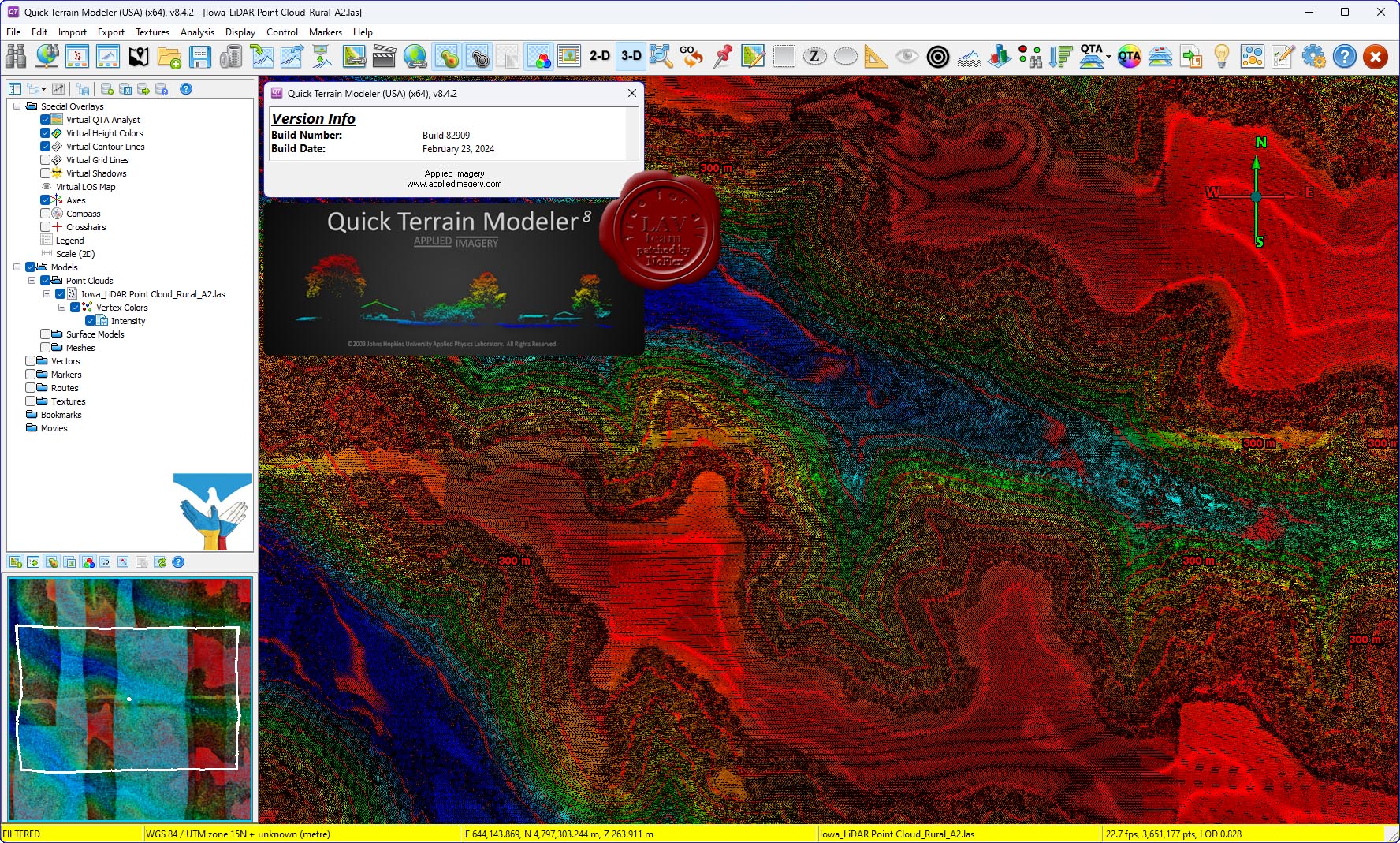
Applied Imagery Quick Terrain Modeller v8.4.2 build 82909 USA Edition

Quick Terrain Modeler is the world's premier 3D point cloud and terrain visualization software package. Designed for use with LiDAR, but flexible enough to accommodate other 3D data sources, Quick Terrain Modeler provides an easy to use software experience that allows users to work with significantly more data, render larger models, analyze data faster, and export a variety of products. These benefits enable very powerful, yet simple and intuitive, terrain exploitation.
More info
Sample and training data can be found here |
| |
 Читать статью дальше (комментариев - 6)
| |
|
|
Автор: Williams
Дата: 11 сентября 2022
Просмотров: 1 756 |
| |
Applied Imagery Quick Terrain Modeller v8.3.2.1 build 82796 x64 USA Edition

Quick Terrain Modeler is the world's premier 3D point cloud and terrain visualization software package. Designed for use with LiDAR, but flexible enough to accommodate other 3D data sources, Quick Terrain Modeler provides an easy to use software experience that allows users to work with significantly more data, render larger models, analyze data faster, and export a variety of products. These benefits enable very powerful, yet simple and intuitive, terrain exploitation.
Sample and training data can be found here
What's new in the version 8.3.2 |
| |
Читать статью дальше (комментариев - 10)
| |
|
|
Автор: Williams
Дата: 19 июня 2022
Просмотров: 1 845 |
| |
Applied Imagery Quick Terrain Modeller v8.3.2 build 82788 USA Edition x64

Quick Terrain Modeler is the world's premier 3D point cloud and terrain visualization software package. Designed for use with LiDAR, but flexible enough to accommodate other 3D data sources, Quick Terrain Modeler provides an easy to use software experience that allows users to work with significantly more data, render larger models, analyze data faster, and export a variety of products. These benefits enable very powerful, yet simple and intuitive, terrain exploitation.
Sample and training data can be found here
What's new in the version 8.3.2:
|
| |
Читать статью дальше (комментариев - 12)
| |
|
|
Автор: Williams
Дата: 22 января 2022
Просмотров: 2 646 |
| |
Applied Imagery Quick Terrain Modeller v8.3.1 build 82752 x64 USA Edition
Quick Terrain Modeler is the world's premier 3D point cloud and terrain visualization software package. Designed for use with LiDAR, but flexible enough to accommodate other 3D data sources, Quick Terrain Modeler provides an easy to use software experience that allows users to work with significantly more data, render larger models, analyze data faster, and export a variety of products. These benefits enable very powerful, yet simple and intuitive, terrain exploitation.
|
| |
Читать статью дальше (комментариев - 10)
| |
|
|
Автор: Williams
Дата: 27 февраля 2020
Просмотров: 3 529 |
| |
Applied Imagery Quick Terrain Modeller v8.2.0.0 build 82512 x64 USA Edition
Quick Terrain Modeler is the world's premier 3D point cloud and terrain visualization software package. Designed for use with LiDAR, but flexible enough to accommodate other 3D data sources, Quick Terrain Modeler provides an easy to use software experience that allows users to work with significantly more data, render larger models, analyze data faster, and export a variety of products. These benefits enable very powerful, yet simple and intuitive, terrain exploitation.
Sample and training data can be found here |
| |
Читать статью дальше (комментариев - 15)
| |
|
|
Автор: Williams
Дата: 27 октября 2018
Просмотров: 2 253 |
| |
Applied Imagery Quick Terrain Modeller v8.0.7.2 x64 USA Edition

Quick Terrain Modeler is the world's premier 3D point cloud and terrain visualization software package. Designed for use with LiDAR, but flexible enough to accommodate other 3D data sources, Quick Terrain Modeler provides an easy to use software experience that allows users to work with significantly more data, render larger models, analyze data faster, and export a variety of products. These benefits enable very powerful, yet simple and intuitive, terrain exploitation.
Sample and training data can be found here
Whats new in version 8.0.7:
|
| |
Читать статью дальше (комментариев - 17)
| |
|
|
Автор: Williams
Дата: 6 ноября 2017
Просмотров: 2 477 |
| |
Applied Imagery Quick Terrain Modeller v8.0.7 x64

Quick Terrain Modeler is the world's premier 3D point cloud and terrain visualization software package. Designed for use with LiDAR, but flexible enough to accommodate other 3D data sources, Quick Terrain Modeler provides an easy to use software experience that allows users to work with significantly more data, render larger models, analyze data faster, and export a variety of products. These benefits enable very powerful, yet simple and intuitive, terrain exploitation.
More info. Sample and training data can be found here.
Whats new in version 8.0.7:
|
| |
Читать статью дальше (комментариев - 17)
| |
|
|
| ПОИСК ПО САЙТУ |
|
|
|
| КАЛЕНДАРЬ | | |
|
| « Май 2024 » |
|---|
| Пн | Вт | Ср | Чт | Пт | Сб | Вс |
|---|
| | 1 | 2 | 3 | 4 | 5 | | 6 | 7 | 8 | 9 | 10 | 11 | 12 | | 13 | 14 | 15 | 16 | 17 | 18 | 19 | | 20 | 21 | 22 | 23 | 24 | 25 | 26 | | 27 | 28 | 29 | 30 | 31 | |
|
| |
| |
|