|
 |
 Автор: Williams Автор: Williams
 Дата: 4 декабря 2020 Дата: 4 декабря 2020
 Просмотров: 1 745 Просмотров: 1 745 |
| |
midas MeshFree V410 R2 Professional x64
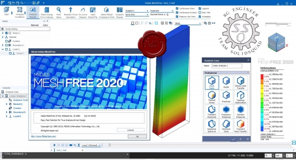
midas MeshFree - доступное комплексное программное обеспечение для инженерных расчетов и оптимизации проектных решений.
midas MeshFree is a design and analysis cutting-edge technology developed as a joint project with Samsung Electronics. MeshFree performs finite element analysis on the original CAD model without need for meshing or defeaturing. MeshFree frees you from all the difficulties of today’s design and analysis software.
|
| |
 Читать статью дальше (комментариев - 13)
| |
|
 |
 Автор: Williams Автор: Williams
 Дата: 3 декабря 2020 Дата: 3 декабря 2020
 Просмотров: 1 437 Просмотров: 1 437 |
| |
DotSoft Word2CAD v3.1.0.4
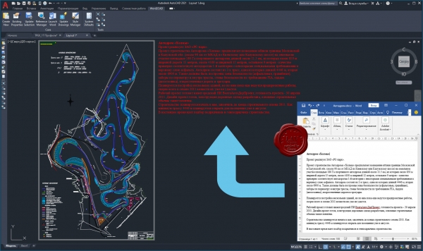
Word2CAD overcomes the limits and problems associated with OLE placement of Microsoft Word documents into AutoCAD, BricsCAD and IntelliCAD.В It draws the document using native geometry so the result is a bound collection of mtext (and table) objects that is linked to the original document, can be plotted without problems and is highly portable to other users.
New Release: added support for Word Tables (even those including merged rows and columns) as well as inline images (bitmaps). Also numerous refinements to existing tools and faster processing.
|
| |
 Читать статью дальше (комментариев - 13)
| |
|
 |
 Автор: Williams Автор: Williams
 Дата: 2 декабря 2020 Дата: 2 декабря 2020
 Просмотров: 1 009 Просмотров: 1 009 |
| |
midas NFX 2020 R2 build 12/10/2020 x64
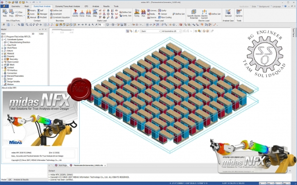
midas NFX- комплексное программное обеспечение для инженерных расчетов и оптимизации проектных решений.
Области применения:
- Имитационное моделирование изделия.
- Оптимизация топологии.
- Прочностной расчет.
- Тепловой расчет с учетом излучения и оптических свойств модели.
- Трехмерный расчет гидроаэродинимики (CFD).
- Комплексный мультидисциплинарный расчет.
Возможности:
- Сокращение цикла разработки продукции.
- Широкий спектр CAD интерфейсов.
- Высокоскоростной и качественный генератор сеток.
- Продвинутые решатели для работы с большими моделями.
- Автоматическое определение контактов в сборках, удобная визуализация и управление сопряжениями и нагрузками.
Эффективная автоматизация процесса проектирования:
- Два варианта интерфейса: инженерный и упрощенный.
- Быстрый решатель и возможность модификации изделия "на лету" с последующим пересчетом.
- Простое создание расчетных сеток.
- Обширная база материалов, в том числе анизотропных.
- Учет оптических свойств материала при расчете излучения и теплообмена.
- Набор шаблонов стандартных граничных условий и нагрузок.
- Возможность распараллеливания решения.
Упрощенная разработка инновационной продукции:
- Легкое формирование модели и решение оптимизационных задач по различным критериям.
- Преднастроенные шаблоны расчета.
- Возможность создания адаптивных сеток и перестроение сетки в процессе расчетов.
- Оптимизация топологии (формы детали) по данным статического/динамического анализа.
- Расширенные функции расчета износа.
- Проведение оценочных испытаний надежности элементов оборудования.
Единое комплексное решение для выполнения широкого спектра задач проектирования, встречающихся в машиностроении:
- Обеспечение структурного, термического и газодинамического расчетов в пространстве одной модели.
- Модальный анализ с учетом преднагрузки и условий относительного смещения деталей.
- Анализ устойчивости с заданием допустимых взаимных перемещений деталей в сборке.
- Определение плотностей тепловых потоков.
- Линейный динамический анализ.
- Расчет задач с нелинейными контактами.
- Продвинутый нелинейный анализ ударных нагрузок.
- Совместный расчет жестких и упругих конструкций в одной модели.
- Комбинация линейного и нелинейного анализа в одной модели.
|
| |
 Читать статью дальше (комментариев - 10)
| |
|
 |
 Автор: Williams Автор: Williams
 Дата: 1 декабря 2020 Дата: 1 декабря 2020
 Просмотров: 1 226 Просмотров: 1 226 |
| |
ESI Groundwater Vistas Premium v8.03 build 3 x64
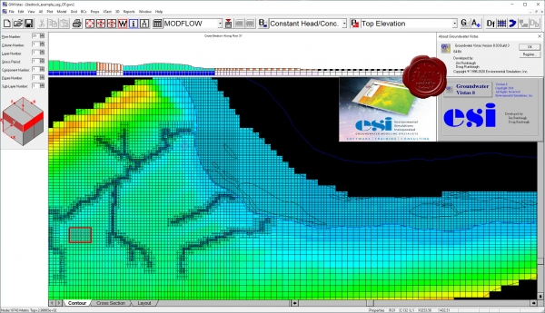
Groundwater Vistas (GV) is a sophisticated Windows graphical user interface for 3-D groundwater flow & transport modelling. GV couples a powerful model design system with comprehensive graphical analysis tools. Developed by the author of ModelCadTM, GV is a model-independent graphical design system for MODFLOW MODPATH (both steady-state and transient versions), MT3DMS, MODFLOWT, MODFLOW-SURFACT, MODFLOW2000, GFLOW, RT3D, PATH3D, SEAWAT and PEST. The advanced (stochastic) version of Groundwater Vistas provides the ideal groundwater risk assessment tool. Groundwater Vistas is the first modeling environment for the MODFLOW family of models that allows for the quantification of uncertainty. Stochastic Groundwater Vistas includes Monte Carlo versions of MODFLOW, MODPATH and MT3D , Geostatistical Simulators SWIFT support, 64-bit support and more. The Professional version includes Groundwater Vistas Advanced + AquiferWin32, Winflow, GW3D, MODHMS support, and GSFLOW support. The Premium version includes Groundwater Vistas Professional + SAMG Solver. GV displays the model design in both plan and cross-sectional views using a split window (both views are visible at the same time). Model results are presented using contours, shaded contours, velocity vectors, and detailed analysis of mass balance. |
| |
 Читать статью дальше (комментариев - 8)
| |
|
 |
 Автор: Williams Автор: Williams
 Дата: 30 ноября 2020 Дата: 30 ноября 2020
 Просмотров: 1 260 Просмотров: 1 260 |
| |
Primatech PHAWorks RA Edition v1.0.7190
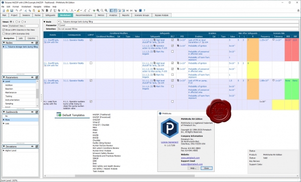
PHAWorks is a specialized tool for conducting Process Hazard Analysis (PHA) studies, such as HAZOP and What If studies. The software is designed to allow you to start conducting studies straight out of the box, leading you through each step of data entry. Within minutes, you can start documenting your PHA studies more quickly and efficiently while keeping the team focused on the task at hand. PHAWorks will not get in the way of conducting the study. It is a tool designed to help, not hinder, the performance of the study. PHA studies, such as HAZOP, What If, and FMEA, have become easier, quicker and more cost effective with PHAWorks. With the time and cost savings it provides, PHAWorks is a tool that is essential to your company. No PHA software is used or trusted more throughout the world than PHAWorks.
Key Benefits of Using PHAWorks
- Conduct your PHA studies more quickly and efficiently.
- Use a consistent framework to help improve the quality of your studies.
- Choose from various PHA techniques to conduct your studies, such as HAZOP, WHAT If, FMEA, PrHA, and Checklist.
- Customize the software (add / delete / rename columns) for other uses.
- Use Libraries of technical information to assist in the completion of your studies.
- Create custom reports in HTML, Word, Excel and PDF format.
|
| |
 Читать статью дальше (комментариев - 8)
| |
|
 |
 Автор: Williams Автор: Williams
 Дата: 29 ноября 2020 Дата: 29 ноября 2020
 Просмотров: 2 787 Просмотров: 2 787 |
| |
DNV GL AS Phast / Safeti v8.22.17.0
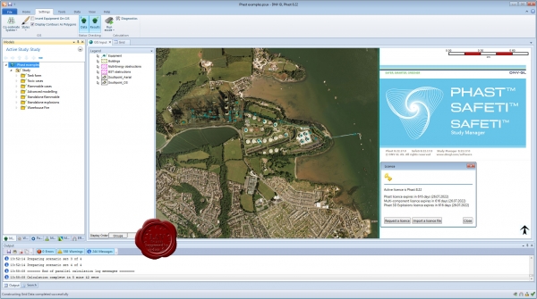
Phast is the world's most comprehensive process industry hazard analysis software tool for all stages of design and operation. Phast examines the progress of a potential incident from the initial release to far-field dispersion including modelling of pool spreading and evaporation, and flammable and toxic effects.
Safeti Offshore is a formal, structured and systematic approach for conducting an offshore QRA analysis.
|
| |
 Читать статью дальше (комментариев - 32)
| |
|
 |
 Автор: Williams Автор: Williams
 Дата: 28 ноября 2020 Дата: 28 ноября 2020
 Просмотров: 5 725 Просмотров: 5 725 |
| |
Adobe Photoshop 2021 v22.0.1.73 + CameraRaw v13.0.2
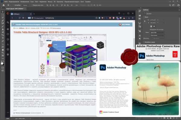
Adobe Photoshop – это самый популярный фоторедактор в мире! Его используют как обычные фотолюбители, так и профессионалы. Если вам часто приходится заниматься обработкой фотографий, созданием графического дизайна (в том числе трехмерного и веб-дизайна), то лучшим помощником в этом творческом деле является именно программа Фотошоп.
Нововведения
Рабочее пространство Neural Filters представляет собой недеструктивные фильтры, такие как сглаживание кожи на портрете, интеллектуальная обработка портрета и другие. Эти фильтры построены на основе искусственного интеллекта, например, инструмент ”Умный портрет” позволяет полностью изменить черты лица, направление поворота головы или взгляда, интенсивность улыбки, возраст модели, а также направление и интенсивность источника света. Наверняка все помнят анекдот про гитариста, который никак не мог сыграть в студии свою партию, на что звукооператор попросил его сыграть семь нот, записал их и самостоятельно нарезал необходимое соло. Проводя параллель с этой поучительной историей, теперь фотограф сможет сделать одну портретную фотографию модели в студии, а играть со светом и поворотом головы, взглядом и улыбкой он сможет и самостоятельно в Photoshop 2021, уже после съёмки и так, как ему необходимо. Из личной практики студийной работы автор этих строк может подтвердить, что в ряде случаев приходилось сталкиваться с острой необходимостью подобного редактирования, так как во время съёмки по объективным причинам сделать необходимый кадр не представлялось возможным. Искусственный интеллект анализирует портрет, позволяя редактировать все доступные параметры. На примере ниже ползунок направления света в новых нейронных фильтрах Adobe был перемещен слева направо.
 Помимо редактирования портрета, нейронные фильтры также помогают восстановить поврежденные изображения, в том числе старые фотографии, на которых видны пыль и царапины, бороться с шумом, выполнить автоматическую ретушь лица, избавиться от артефактов компрессии JPEG и даже раскрасить черно-белое изображение, превратив его в цветное. Осталось добавить в этот перечень функцию автоматического ведения ленты в Instagram, и можно однозначно можно сказать, что если все эти умные фильтры будут работать именно таким образом, как обещают пресс-релиз и презентации, фотографирование больше уже не будет таким как прежде. Для чего годами учиться фотографировать, изучать световые схемы, арендовать дорогие студии и нанимать профессиональных моделей, если всё тоже самое можно повторить при помощи пары щелчков мыши? Или всё-таки нет? Время покажет.
Функцию замены неба также использует возможности искусственного интеллекта, чтобы проанализировать требуемое изображение, определить, где на нём передний план, а где небо, выполнить сложное маскирование, после чего реалистично его заменить на другое. Можно выбрать небо из базы данных Photoshop, которая пока насчитывают всего 25 предустановок, или добавить из своей собственной коллекции. Также программа позволяет регулировать масштаб неба, использовать только какую-то его часть, а также всячески перемещать небо по изображению, выбирать только его часть и по-всякому перемещать небо по сцене. При этом будет автоматически изменяться цветовая окраска и освещённость переднего плана, подстраиваясь под новое небо.

Обновление получил и такой немаловажный инструмент Photoshop, как выделение краёв: появились новые функции панели «Выделение и маска»: «Уточнить волосы» и «Режим уточнения с учетом объектов». Несмотря на постоянное совершенствование инструментов выделения, работа с волосами в Photoshop до сих была далеко не простой задачей. В новой версии выделением волос занимается искусственный интеллект, и, по заверению компании, теперь волосы можно выделить на фото одним щелчком мышки. На примере ниже демонстрируются возможности этого инструмента.

Новая панель ”Discover” в Photoshop позволяет получить быстрый доступ к библиотеке различного образовательного контента и руководствам. Без искусственного интеллекта и здесь не обошлось – подсказки и обучающие видео будут выдаваться пользователю согласно контенту, над которым он трудится в данный момент. К тому факту, что Большие Братья постоянно следят за тобой, привыкнуть, конечно, можно, однако огорчает тот факт, что слежкой начала заниматься любимая программа, и ”1984” Оруэлла вспоминается всё чаще и чаще. Хотя, не исключено, что эта самая любимая программа уже давненько втихаря за нами наблюдает... Так или иначе, если этот инструмент можно как-то отключить в настройках, это будет сделано в первую очередь.
|
| |
 Читать статью дальше (комментариев - 13)
| |
|
 |
 Автор: Williams Автор: Williams
 Дата: 27 ноября 2020 Дата: 27 ноября 2020
 Просмотров: 452 Просмотров: 452 |
| |
Mestrelab MestReNova v14.2.0.26256 x32+x64
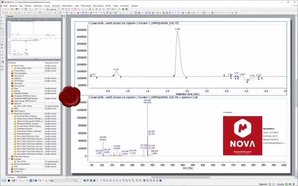
MestReNova is a multipage, multivendor, multitechnique and multiplatform analytical chemistry software suite designed as a container for the plugins. MestReNova is a multivendor software suite designed for combined NMR, LC/GC/MS and Electronic & Vibrational Spectroscopic techniques. The new version 14 is a major release incorporating many new features in most plugins. It has integrated three new products Mnova ElViS, BioHOS and StereoFitter and fixed several bugs.
|
| |
 Читать статью дальше (комментариев - 4)
| |
|
 |
 Автор: Williams Автор: Williams
 Дата: 25 ноября 2020 Дата: 25 ноября 2020
 Просмотров: 2 293 Просмотров: 2 293 |
| |
DIANA FEA v10.4 + docs
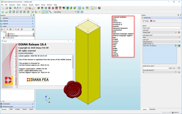
DIANA (DIsplacement ANAlyzer) is an extensive multi-purpose finite element software package that is dedicated, but not exclusive, to a wide range of problems arising in Civil engineering including structural, geotechnical, tunnelling, earthquake disciplines and oil & gas engineering. DIANA is a well proven and tested software package that has been used on various landmark projects all over the world. The program's robust functionality includes extensive material models, element libraries and analysis procedures, which are based on the latest and the most advanced finite element analysis techniques. DIANA has been equipped with powerful solvers in order to optimize the solution procedures for all types of linear and nonlinear complex models with accurate results and fast computations. Its unique analysis capabilities are empowered by full modeling capabilities in 2D and 3D environments and tools for CAD interoperability.
|
| |
 Читать статью дальше (комментариев - 13)
| |
|
 |
| ПОИСК ПО САЙТУ |
 |
|
 |
| КАЛЕНДАРЬ | | |
 |
| « Октябрь 2025 » |
|---|
| Пн | Вт | Ср | Чт | Пт | Сб | Вс |
|---|
| | 1 | 2 | 3 | 4 | 5 | | 6 | 7 | 8 | 9 | 10 | 11 | 12 | | 13 | 14 | 15 | 16 | 17 | 18 | 19 | | 20 | 21 | 22 | 23 | 24 | 25 | 26 | | 27 | 28 | 29 | 30 | 31 | |
|
 | |
| |
|