|
 |
 Автор: Williams Автор: Williams
 Дата: 1 марта 2024 Дата: 1 марта 2024
 Просмотров: 1 184 Просмотров: 1 184 |
| |
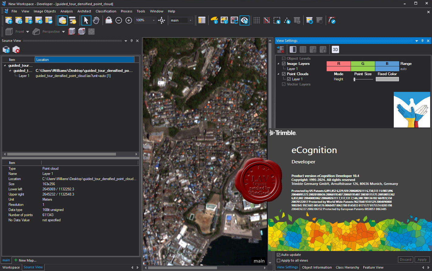
Trimble eCognition Developer v10.4

eCognition Developer представляет собой мощную среду разработки для объектно-ориентированного анализа изображений. Он используется в науках о Земле для разработки наборов правил для автоматического анализа данных дистанционного зондирования.
More info
New features in eCognition 10.4 |
| |
 Читать статью дальше (комментариев - 7)
| |
|
|
Автор: Williams
Дата: 29 февраля 2024
Просмотров: 165 |
| |
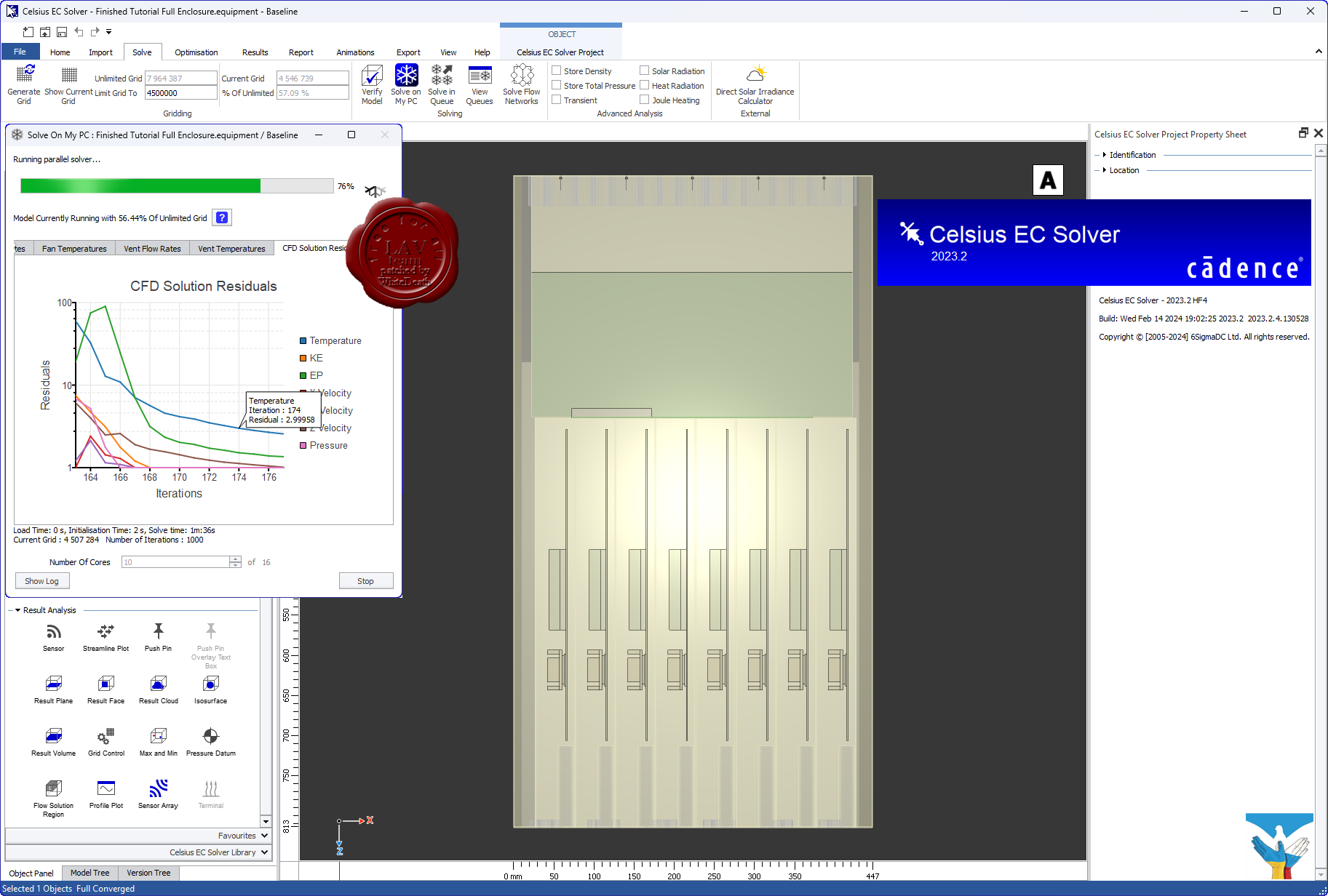
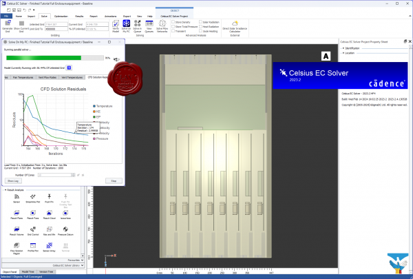
Cadence 6SigmaET Celsius EC Solver 2023.2 HF4
 Компания Cadence анонсировала новую программу для анализа тепловыделения – Celsius Thermal Solver. Этот симулятор использует методы конечных элементов (FEA) и вычислительной гидродинамики (CFD) для обнаружения перегрева микросхем, печатных плат и корпусов приборов с учетом тепловыделения, теплопередачи и конвекционной передачи тепла. Celsius получает полную информацию о конструкции корпуса и топологии печатной платы из инструментов САПР , в т. ч. из проектов САПР печатных плат Cadence Allegro или OrCAD. Более того, Celsius может получить информацию о детальной конструкции самой микросхемы, если речь идет об анализе тепловыделения и нагрева внутри ее корпуса. Таким функционалом могут заинтересоваться отечественные разработчики микросхем процессоров, которые пользуются САПР Cadence для проектирования СБИС и корпусов/подложек микросхем (САПР для разработки подложек Cadence Allegro Package Designer/System In Package является расширенной версией САПР печатных плат Cadence Allegro PCB Designer). Симулятор Celsius легко интегрируется в программное обеспечение для проектирования электроники Cadence. Топология компонентов и геометрические параметры печатной платы считываются из файлов Cadence собственного формата. Для представления геометрических параметров трехмерной конструкции прибора, а также трехмерных объектов на печатных платах и в компонентах, используются файлы нейтральных форматов, например STEP. Таким образом, Celsius предоставляет дополнительные удобства пользователям САПР, отделяя геометрические параметры системы от топологии текущего проекта: если параметры конструкции изменятся, разработчику не потребуется заново подгружать данные о топологии платы. Celsius выполняет моделирование с учетом зависимости режимов тепловыделения от времени, например с изменением электрического тока, или с учетом временны́х характеристик, смены режимов работы и профилей мощности, которые можно получить из программного обеспечения для проектирования электроники. Возможность быстро установить величину электрического сопротивления объектов и рассеиваемой на них мощности, легко и просто проводить тепловой анализ, а также учитывать детализованную геометрию объектов и их физическое расположение обеспечивает точные результаты моделирования. Компания Cadence анонсировала новую программу для анализа тепловыделения – Celsius Thermal Solver. Этот симулятор использует методы конечных элементов (FEA) и вычислительной гидродинамики (CFD) для обнаружения перегрева микросхем, печатных плат и корпусов приборов с учетом тепловыделения, теплопередачи и конвекционной передачи тепла. Celsius получает полную информацию о конструкции корпуса и топологии печатной платы из инструментов САПР , в т. ч. из проектов САПР печатных плат Cadence Allegro или OrCAD. Более того, Celsius может получить информацию о детальной конструкции самой микросхемы, если речь идет об анализе тепловыделения и нагрева внутри ее корпуса. Таким функционалом могут заинтересоваться отечественные разработчики микросхем процессоров, которые пользуются САПР Cadence для проектирования СБИС и корпусов/подложек микросхем (САПР для разработки подложек Cadence Allegro Package Designer/System In Package является расширенной версией САПР печатных плат Cadence Allegro PCB Designer). Симулятор Celsius легко интегрируется в программное обеспечение для проектирования электроники Cadence. Топология компонентов и геометрические параметры печатной платы считываются из файлов Cadence собственного формата. Для представления геометрических параметров трехмерной конструкции прибора, а также трехмерных объектов на печатных платах и в компонентах, используются файлы нейтральных форматов, например STEP. Таким образом, Celsius предоставляет дополнительные удобства пользователям САПР, отделяя геометрические параметры системы от топологии текущего проекта: если параметры конструкции изменятся, разработчику не потребуется заново подгружать данные о топологии платы. Celsius выполняет моделирование с учетом зависимости режимов тепловыделения от времени, например с изменением электрического тока, или с учетом временны́х характеристик, смены режимов работы и профилей мощности, которые можно получить из программного обеспечения для проектирования электроники. Возможность быстро установить величину электрического сопротивления объектов и рассеиваемой на них мощности, легко и просто проводить тепловой анализ, а также учитывать детализованную геометрию объектов и их физическое расположение обеспечивает точные результаты моделирования.
The Cadence Celsius EC Solver technology (formerly 6SigmaET by Future Facilities) is designed specifically to enable electronic system designers to address today’s most challenging thermal/electronics cooling management problems quickly and accurately. The Celsius EC Solver utilizes a powerful computational engine and meshing technology that enables designers to model and analyze complex designs to not only reduce the risks of product failures but also to optimize thermal solutions to maximize performance. |
| |
Читать статью дальше (комментариев - 0)
| |
|
|
Автор: Williams
Дата: 28 февраля 2024
Просмотров: 231 |
| |
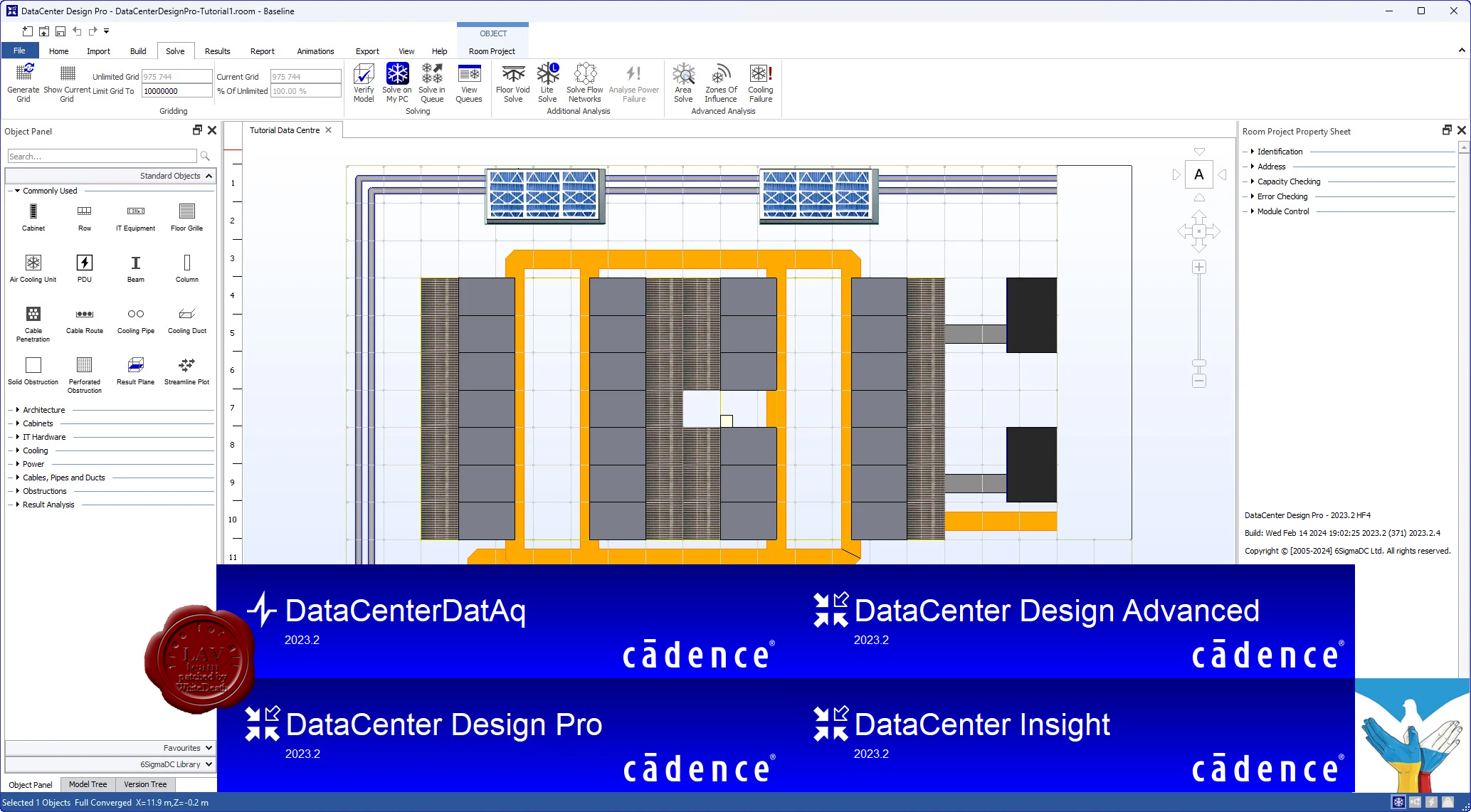
Cadence 6SigmaDCX DataCenter Design Pro 2023.2 HF4
 Cadence is a pivotal leader in electronic systems design, building upon more than 30 years of computational software expertise. The company applies its underlying Intelligent System Design strategy to deliver software, hardware, and IP that turn design concepts into reality. Cadence is a pivotal leader in electronic systems design, building upon more than 30 years of computational software expertise. The company applies its underlying Intelligent System Design strategy to deliver software, hardware, and IP that turn design concepts into reality.
Cadence DataCenter Design Software and Insight Platform (formerly Future Facilities 6SigmaDCX product line) offers physics-based simulation software for the next generation of data center design and management to maximize operational performance.
6SigmaRoom by Future Facilities Ltd. has been rebranded into two distinct product offerings from Cadence Design Systems: DataCenter Design and DataCenter Insight. See About DataCenter 2023.2 for more information about these two product offerings.
DataCenter Design and DataCenter Insight Desktop 2023.2 follow on directly from 6SigmaRoom Release 17.1, so all known and fixed issues that applied to 6SigmaRoom Release 17.1 also apply to DataCenter Design and DataCenter Insight Desktop 2023.2 |
| |
Читать статью дальше (комментариев - 0)
| |
|
|
Автор: Williams
Дата: 27 февраля 2024
Просмотров: 1 352 |
| |
Aquaveo Watershed Modeling System v11.2.8
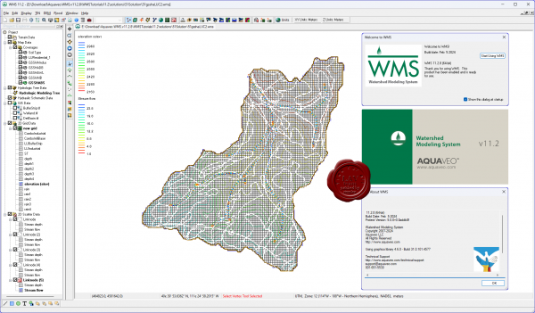 Aquaveo WMS является ведущим решением для 1D-гидрологического , 1D-гидравлического и 2D-распределенного гидрологического моделирования. Aquaveo WMS содержит мощные инструменты для топографической обработки данных, автоматизированного разграничения бассейна, расчета геометрических параметров. Aquaveo WMS является ведущим решением для 1D-гидрологического , 1D-гидравлического и 2D-распределенного гидрологического моделирования. Aquaveo WMS содержит мощные инструменты для топографической обработки данных, автоматизированного разграничения бассейна, расчета геометрических параметров.
Aquaveo tutorials can be download from here
Whats new |
| |
Читать статью дальше (комментариев - 14)
| |
|
|
Автор: Williams
Дата: 26 февраля 2024
Просмотров: 279 |
| |
Cadence Design Systems Fidelity 2023.2.1
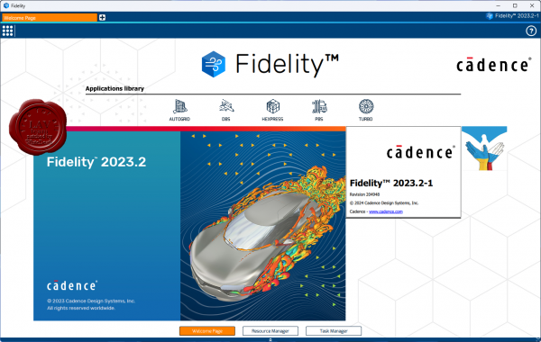
The computational fluid dynamics (CFD) industry faces increasing demand for efficiency, fidelity, and speed. Don’t settle for tried-and-true solutions when you step into environments that have yet to be developed. Improved real behavioral modeling of systems yields greater degrees of fidelity and security for the products you send out into the world. The requirements for multidisciplinary modeling, analysis, and optimization are vast and include:
- Conjugate Heat Transfer (CHT) coupling flow and heat transfer
- Fluid-structure interactions (FSI)
- Fluid-chemistry and multiphase interactions such as combustion
- Aeroacoustics coupling flow and noise
Fidelity CFD is the end-to-end solution for all CFD-related applications. The dedicated tools within the Fidelity CFD environment can solve each step of the simulation process quickly and efficiently. Furthermore, Fidelity CFD was designed with ease-of-use in mind with an intuitive and application-driven interface or through automated processes with the Python API or optimization module available.
The software necessary for realistic modeling of fluid flows grows increasingly competent and complex. Using the Fidelity CFD environment, you can trust any computational challenge to be handled with both accuracy and speed. Custom fit this CFD simulation software to solve the difficulties you are experiencing in your design and verification cycle.
With CFD workflows being reassessed every cycle to optimize and improve for greater levels of fidelity and speed, Fidelity CFD serves your simulation necessities by offering a highly automated, customizable solution. |
| |
Читать статью дальше (комментариев - 0)
| |
|
|
Автор: Williams
Дата: 25 февраля 2024
Просмотров: 527 |
| |
Graebert ARES Commander 2024 SP3
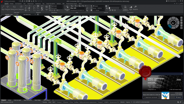
ARES Commander is desktop CAD for Windows, MacOS and Linux just like the traditional CAD software you may already be familiar with.
Experience the agility of ARES Commander to create and modify DWG drawings in 2D and 3D on your computers. Leverage the drafting and design features that you've come to expect for your DWG files. ARES Commander brings your CAD efficiency to the next level with smarter productivity tools and a unique concept: The Trinity of CAD.
Compare AutoCAD and ARES Commander |
| |
Читать статью дальше (комментариев - 1)
| |
|
|
Автор: Williams
Дата: 24 февраля 2024
Просмотров: 420 |
| |
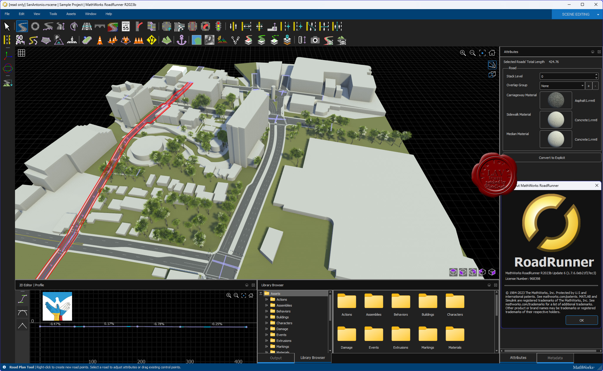
MathWorks RoadRunner R2023b Update 6
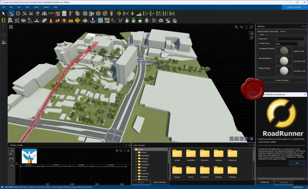
RoadRunner is an interactive editor that lets you design 3D scenes for simulating and testing automated driving systems. You can customize roadway scenes by creating region-specific road signs and markings. You can insert signs, signals, guardrails, and road damage, as well as foliage, buildings, and other 3D models. RoadRunner provides tools for setting and configuring traffic signal timing, phases, and vehicle paths at intersections.
RoadRunner supports the visualization of lidar point cloud, aerial imagery, and GIS data. You can import and export road networks using OpenDRIVE. 3D scenes built with RoadRunner can be exported in FBX, glTF, OpenFlight, OpenSceneGraph, OBJ, and USD formats. The exported scenes can be used in automated driving simulators and game engines, including CARLA, Vires VTD, NVIDIA DRIVE Sim, rFpro, Baidu Apollo, Cognata, Unity, and Unreal Engine.
RoadRunner Asset Library lets you quickly populate your 3D scenes with a large set of realistic and visually consistent 3D models. RoadRunner Scene Builder lets you automatically generate 3D road models from HD maps. |
| |
Читать статью дальше (комментариев - 0)
| |
|
|
Автор: Williams
Дата: 23 февраля 2024
Просмотров: 1 374 |
| |
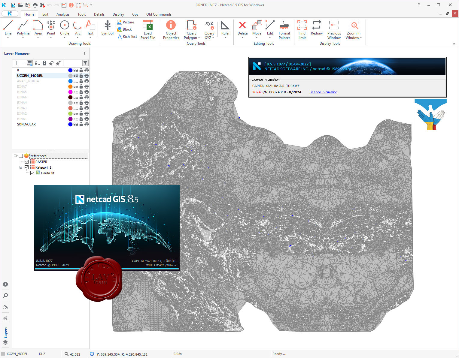
Netcad GIS 2024 v8.5.5.1077
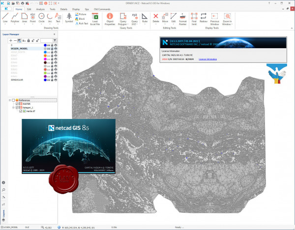
For more than 30 years, we have been producing solutions for the needs of professionals from different professional disciplines. With the agile software development philosophy, we aim to develop continuously in line with user needs and expectations.
With Netcad GIS, we offer our users the freedom of the CAD environment and the advantages of the rule-based structure of the GIS environment at the same time. We support these two spatial data formats, which we believe complementing each other in geographic data production processes, with dynamic CAD & GIS integration.
With its approach of integrated CAD and GIS solutions, Netcad GIS is designed to meet many different demands from different sectors and users. For many engineering and planning disciplines, demands such as mapping, design, calculation, data conversion, reporting, analysis are met with rich data format support. Netcad GIS is a geographic data source that supports a wide range of spatial information sources in international standards.
With the advanced data organization tools and the module capabilities customized for different professional specialization areas, needs-oriented projects can be produced. All different modules developed for professional needs run smoothly on Netcad GIS.
More info (EN)
More info (RUS)
More info (TR) |
| |
Читать статью дальше (комментариев - 7)
| |
|
|
Автор: Williams
Дата: 22 февраля 2024
Просмотров: 5 282 |
| |
Blue Marble Global Mapper Pro v25.1 build 021424
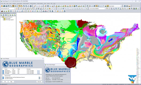
Вышла новая версия программы для просмотра карт и векторных изображений - Global Mapper v25.1
Global Mapper позволяет не только просматривать но и преобразовывать или редактировать, а даже и распечатывать всевозможные карты и векторные наборы данных. Global Mapper позволяет вам загружать ваши данные как слои ( только с условием, что вы работаете в Digital Elevation Model), или же как отсканированную карту, если вам надо изобразить местность в 3D. Есть также хорошая особенность, что позволяет вести работу в реальном времени. Происходит это путем загрузки данных с GPS приемника который подключен к компьютеру.
Global Mapper поддерживает огромнейшее число форматов. Работать с ней легко и просто, интерфейс не перенасыщен различными опциями, вы можете смело работать в ней и не задумываться о том, куда нажать, что бы сделать что - то. |
| |
Читать статью дальше (комментариев - 26)
| |
|
|
Автор: Williams
Дата: 21 февраля 2024
Просмотров: 1 133 |
| |
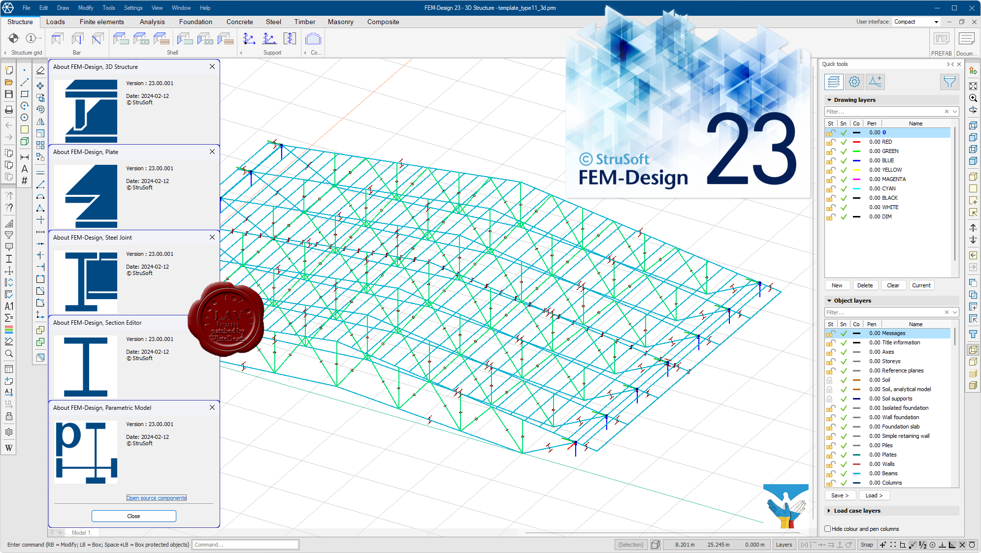
StruSoft FEM-Design Suite v23.00.001

FEM-Design is an advanced modeling software for finite element analysis and design of load-bearing concrete, steel and timber structures according to Eurocode. The unique user-friendly working environment is based on the familiar CAD tools what makes the model creation and structure editing simple and intuitive. The quick and easy nature of FEM-Design makes it ideal for all types of construction tasks from single element design to global stability analysis of large structures and makes it the best practical tool for structural engineers.
Features:
- The structural model is created easily in 3D with intuitive CAD-tools or imported from BIM-software.
- The finite element mesh is generated and optimized automatically.
- The Auto Design feature helps to choose the most efficient cross-section or reinforcement arrangement.
- Resultant and connection forces in shell elements can be easily assessed.
- Results are shown in a variety of 3D-graphs, contour lines, color palettes or sections.
- Auto-updated project reports can be created from within the built-in FEM-Design documentation editor.
Theory manual
Release notes
Whats new |
| |
Читать статью дальше (комментариев - 5)
| |
|
|
| ПОИСК ПО САЙТУ |
|
|
|
| КАЛЕНДАРЬ | | |
|
| « Октябрь 2025 » |
|---|
| Пн | Вт | Ср | Чт | Пт | Сб | Вс |
|---|
| | 1 | 2 | 3 | 4 | 5 | | 6 | 7 | 8 | 9 | 10 | 11 | 12 | | 13 | 14 | 15 | 16 | 17 | 18 | 19 | | 20 | 21 | 22 | 23 | 24 | 25 | 26 | | 27 | 28 | 29 | 30 | 31 | |
|
| |
| |
|