|
 |
 Автор: Williams Автор: Williams
 Дата: 29 мая 2024 Дата: 29 мая 2024
 Просмотров: 1 372 Просмотров: 1 372 |
| |
Deep Excavation SnailPlus 2024 v24.0.1.4
 Snail Plus is soil nail analysis software. While soil nailing is also available in our DeepXcav software program, SnailPlus was created to bring all the necessary capabilities into one package. The software follows the FHWA methodology for the design of soil nail walls, in an interactive environment built on the DeepEX basic layout. This means that you can include all intermediate construction stages for your soil nail wall, include 3D loads, all in an interactive environment. Last, SnailPlus is the only software that produces a full printable report of all design calculations. Snail Plus is soil nail analysis software. While soil nailing is also available in our DeepXcav software program, SnailPlus was created to bring all the necessary capabilities into one package. The software follows the FHWA methodology for the design of soil nail walls, in an interactive environment built on the DeepEX basic layout. This means that you can include all intermediate construction stages for your soil nail wall, include 3D loads, all in an interactive environment. Last, SnailPlus is the only software that produces a full printable report of all design calculations.
Who uses Snail-Plus? Many companies including deparment of transportation such as Texas DOT, WASH-DOT, GZA, Hayward Baker, ESC Limited, D'Appolonia, Berkel Construction, and more! |
| |
 Читать статью дальше (комментариев - 11)
| |
|
|
Автор: Williams
Дата: 28 мая 2024
Просмотров: 251 |
| |
GibbsCAM Compost v14.0.16
Compost - программа для редактирования постпроцессоров для станков с ЧПУ.
More info |
| |
Читать статью дальше (комментариев - 3)
| |
|
|
Автор: Williams
Дата: 26 мая 2024
Просмотров: 582 |
| |
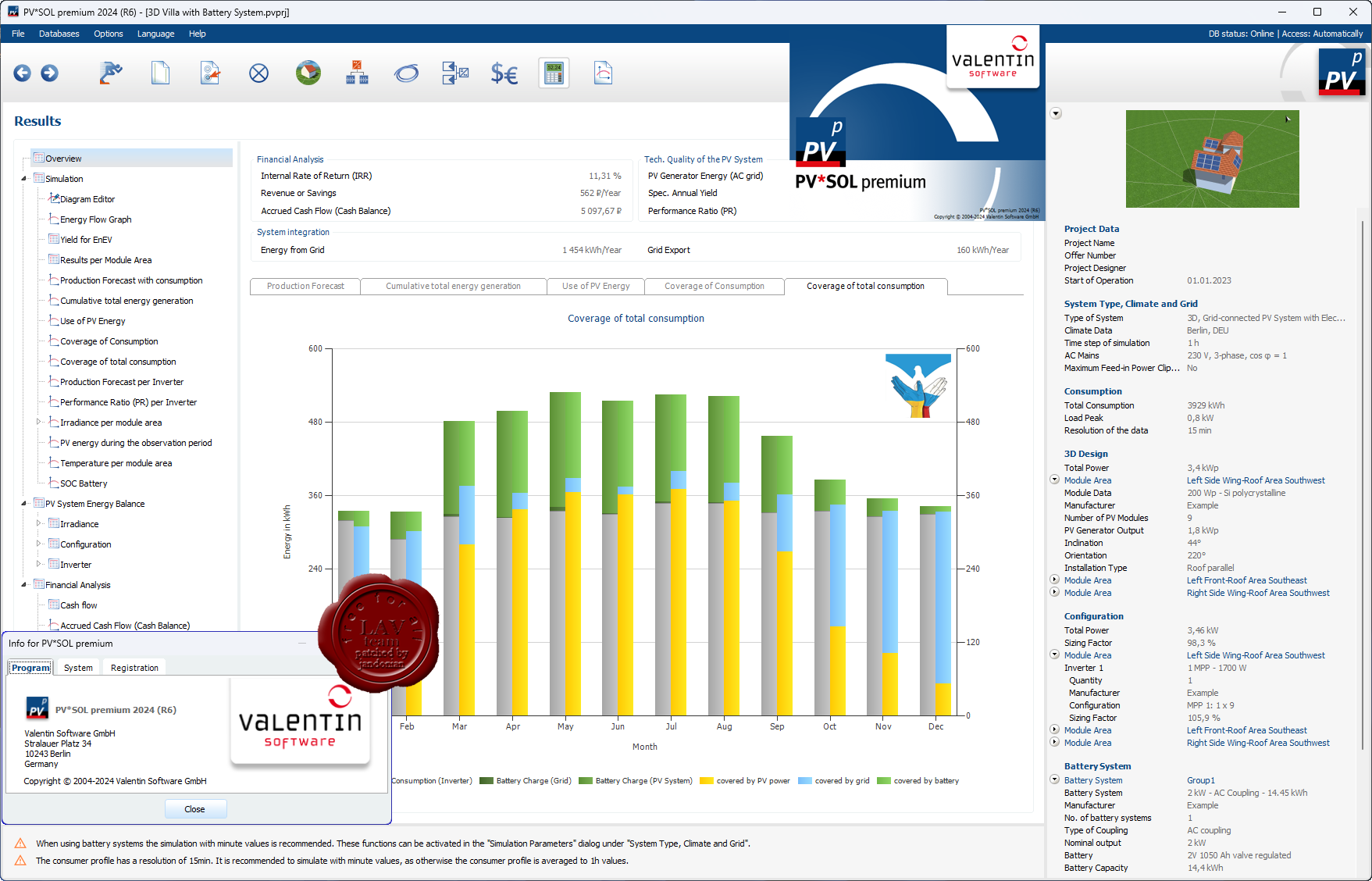
Valentin Software PV*SOL Premium 2024 R6
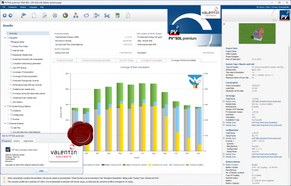 With PV*SOL Premium, the industry standard for photovoltaic design programs, you can design and simulate all types of modern PV systems. From the small rooftop system with a few modules to medium-sized systems on commercial roofs to large solar parks - PV*SOL premium supports you with numerous tools for design and simulation. With PV*SOL Premium, the industry standard for photovoltaic design programs, you can design and simulate all types of modern PV systems. From the small rooftop system with a few modules to medium-sized systems on commercial roofs to large solar parks - PV*SOL premium supports you with numerous tools for design and simulation.
The unique 3D visualization is the highlight of PV*SOL Premium. You can visualize all common types of systems in 3D, whether roof-integrated or roof-mounted, whether on small angled roofs, large industrial halls or open spaces - with up to 7,500 mounted modules or up to 10,000 roof-parallel modules, and calculate the shading based on 3D objects. This enables you to achieve the highest reliability for your earnings forecast - because for an accurate income calculation, a realistic representation of the shading from surrounding objects is essential.
All other design types from PV*SOL are of course also available to you in PV*SOL Premium. Whether calculating self-consumption, designing battery storage or integrating electric vehicles - with PV*SOL you can implement and present all customer wishes in no time at all.
You can use our extensive product database at any time. It currently includes over 24,000 PV modules, 6,700 inverters, 3,700 battery systems and many other products such as electric vehicles and performance optimizers. It is updated regularly by the product manufacturers themselves, so that you can always work with the latest data.
You can generate high-quality project reports for your customers that can be configured and edited as required. Circuit diagrams with the necessary safety devices can also be created, e.g. for submission to the relevant authorities.
The current feed-in tariffs are already available in our database for the calculation of economic efficiency. Supplemented with the information on the system costs, you will receive a detailed and meaningful economic analysis of the system over 20 years. In a few minutes you will receive an initial offer that you can refine afterwards if the customer is interested.
Our technical support team and our online help support you with open questions, and in our forum you can put more complex questions to our team and other users of PV*SOL Premium and quickly receive an answer. |
| |
Читать статью дальше (комментариев - 8)
| |
|
|
Автор: Williams
Дата: 25 мая 2024
Просмотров: 667 |
| |
PVsyst v7.4.6
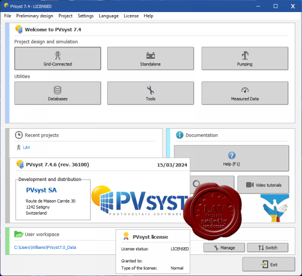 PVsyst is a software package for the study, sizing, simulation and data analysis of complete PV systems. PVsyst is a software package for the study, sizing, simulation and data analysis of complete PV systems.
PVsyst - пакет программного обеспечения для изучения, отладки, моделирования и анализа данных для фотогальванических систем (Photovoltaic Systems). PVSYST подходит для изучения связанных сетей, наводнений и прямых потоков энергосистем, и предлагает большую базу данных по метеорологии и фотогальваническим системам.
Tutorials |
| |
Читать статью дальше (комментариев - 6)
| |
|
|
Автор: Williams
Дата: 24 мая 2024
Просмотров: 426 |
| |
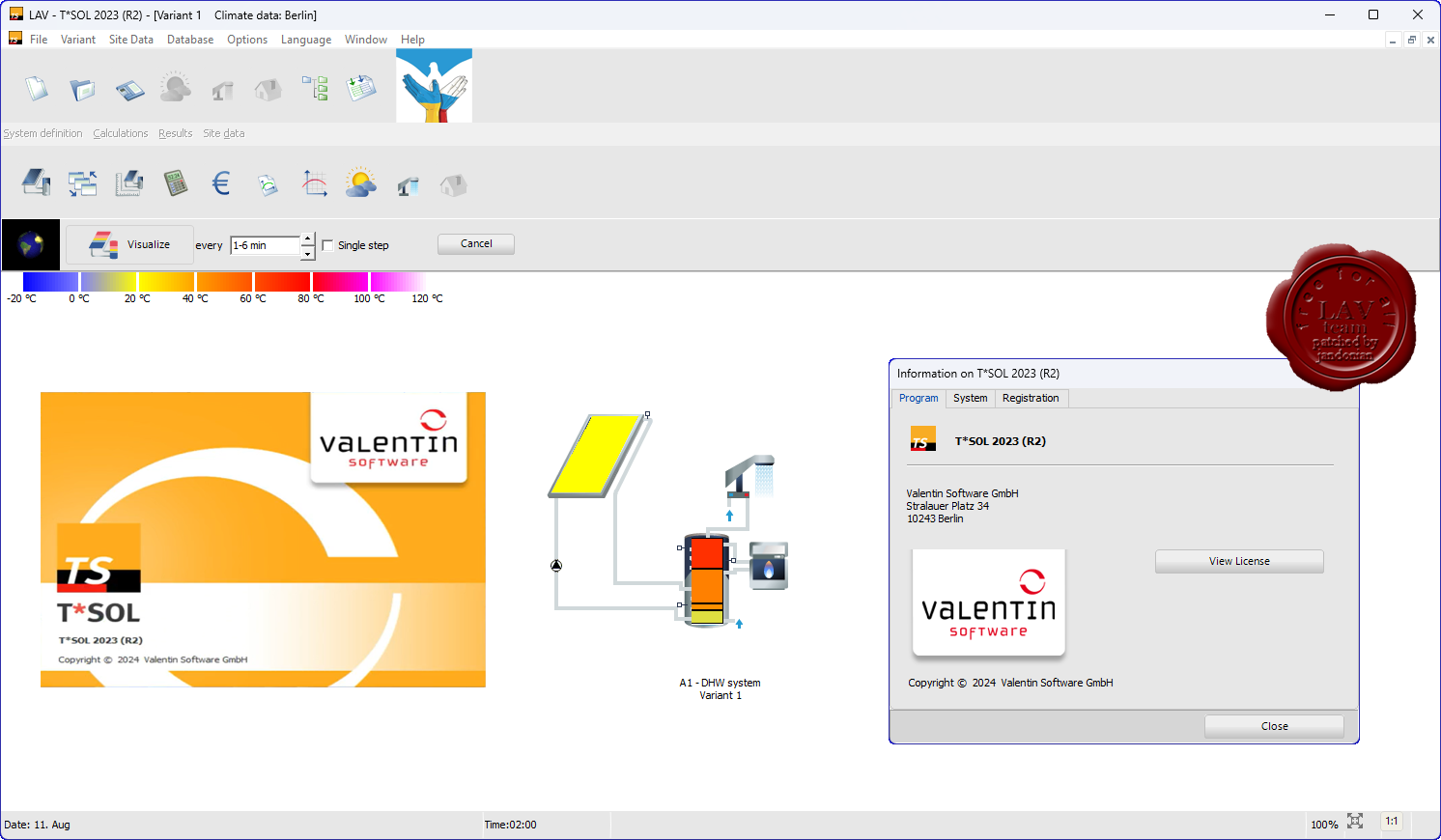
Valentin Software T*SOL 2023 R2
 T*SOL is the simulation program with which you can calculate the yield of a thermal solar system. No matter whether for domestic water heating, heating support, swimming pools or process heat, with T*SOL you can optimally design your planned solar thermal system, dimension storage and collector arrays (also east / west roofs) and determine the economic efficiency. T*SOL is the simulation program with which you can calculate the yield of a thermal solar system. No matter whether for domestic water heating, heating support, swimming pools or process heat, with T*SOL you can optimally design your planned solar thermal system, dimension storage and collector arrays (also east / west roofs) and determine the economic efficiency.
At the start of the design process, you have a large selection of all relevant systems for domestic hot water heating and heating support, as well as for swimming pools and process heat. During the design, you will be supported with dimensioning suggestions and can use a parameter variation to find the optimal combination, e.g. of storage size and collector area.
After the simulation you will receive a comprehensive and appealing project report with all system data as well as detailed simulation and profitability results. This report also contains all the data necessary to be recognized as evidence by BAFA. |
| |
Читать статью дальше (комментариев - 5)
| |
|
|
Автор: Williams
Дата: 22 мая 2024
Просмотров: 279 |
| |
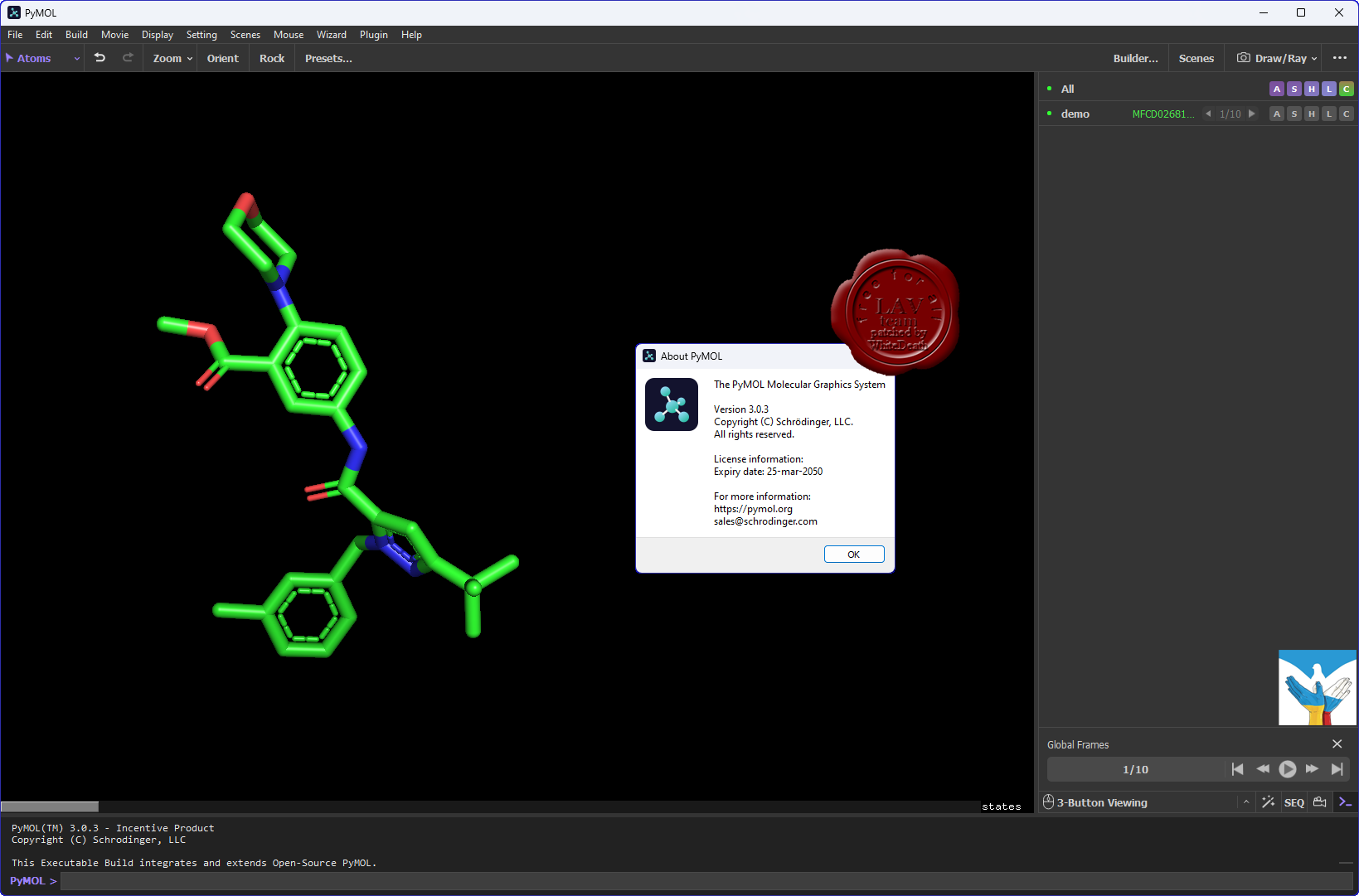
Schrodinger PyMOL v3.0.3 Windows+Linux+Macos
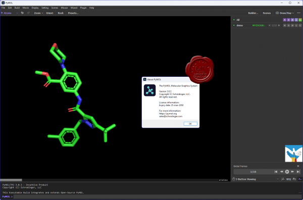
PyMOL is a comprehensive software package for rendering and animating 3D structures. PyMOL is a user-sponsored molecular visualization system on an open-source foundation, maintained and distributed by Schrodinger.
This was the vision of the original PyMOL author Warren L. DeLano.
PyMOL - система визуализации молекул. Позволяет создавать высококачественные трёхмерные изображения как малых молекул, так и биологических макромолекул, в первую очередь белков. Примерно четверть всех публикуемых в научной литературе изображений структур белков сделана с помощью PyMOL. PyMOL - одна из немногих систем молекулярной визуализации с открытым исходным кодом, пригодная для использования в структурной биологии. |
| |
Читать статью дальше (комментариев - 4)
| |
|
|
Автор: Williams
Дата: 21 мая 2024
Просмотров: 1 602 |
| |
CADS Design 2024.0.2:
Analyse 3D v4.59, Composite Beam Designer v3.48, RC Beam Designer v4.30, RC Column Designer v2.28,
RC Pad Base Designer v3.28, RC Slab Designer v1.38, SMART Engineer v6.56, SMART Portal 3D v3.50,
Steelwork Member Designer v3.80, Steelwork Moment Connections v2.1, VelVenti v6.56
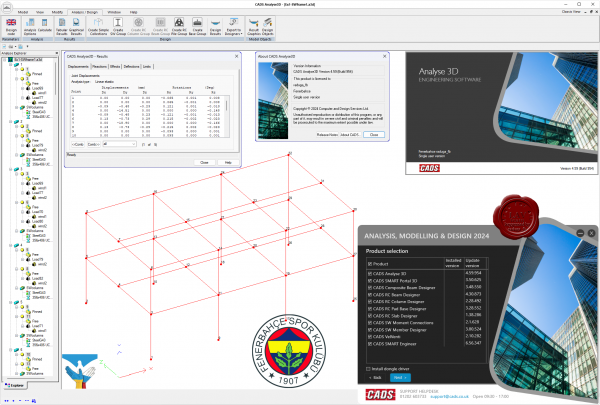 Analyse 3D provides a powerful and flexible frame analysis package for 2D or 3D, elastic/plastic/P-delta analysis and can solve any size job with no limit on the number of members or load combinations. Links to CADS design and detailing software as well as Revit compatibility via an IFC export. Analyse 3D provides a powerful and flexible frame analysis package for 2D or 3D, elastic/plastic/P-delta analysis and can solve any size job with no limit on the number of members or load combinations. Links to CADS design and detailing software as well as Revit compatibility via an IFC export.
Composite Beam Designer is a program for the structural design or checking of Composite Beams. CADS Composite Beam Designer prepares calculations for strength, stability and stiffness.
RC Beam Designer is a comprehensive selection of complete reinforcement solutions, which the software creates automatically in accordance with the chosen design standard. Users may also define their own bar arrangements or select from the user-library. Hence, the software can be used to automatically create a new design or for checking an existing one.
RC Column Designer is a software application for the analysis and design of reinforced concrete columns.
RC Pad Base Designer executes the designing or checking of bases rapidly and reliably and can be used stand-alone or as part of the CADS integrated analysis, design and detailing solution.
RC Slab Designer provides fast, automatic RC design to BS 8110 for all typical bar arrangements, mesh and slab configurations and can be used stand-alone or as part of the CADS integrated analysis, design and detailing solution. It can check a user-defined base design or autodesign an optimum solution to suit user and code criteria.
SMART Engineer is a Civil & Structural Engineers’ compendium of calculation templates to either British Standards or Eurocodes and includes tools for 1D and 2D frame analysis.
SMART Portal 3D is a complete building modeller for single & multi-bay portal frame buildings. Complete 3D solutions can literarally be designed in seconds by simply entering the span, roof slope and number of bays!
Steelwork Member Designer is a program which prepares calculations for the strength, stability and stiffness of steel members to the requirements of EC3 and BS 5950 Part 1 2000.
Steelwork Moment Connection Designer provides an efficient and versatile method of designing steelwork moment connections.
VelVenti enables the rapid calculation of peak wind speeds and pressure in accordance with a number of structural design standards. Used as a standalone tool, it will provide the effective wind speeds at varying heights of a building or structure that can then be passed to any structural design software. |
| |
Читать статью дальше (комментариев - 9)
| |
|
|
| ПОИСК ПО САЙТУ |
|
|
|
| КАЛЕНДАРЬ | | |
|
| « Октябрь 2025 » |
|---|
| Пн | Вт | Ср | Чт | Пт | Сб | Вс |
|---|
| | 1 | 2 | 3 | 4 | 5 | | 6 | 7 | 8 | 9 | 10 | 11 | 12 | | 13 | 14 | 15 | 16 | 17 | 18 | 19 | | 20 | 21 | 22 | 23 | 24 | 25 | 26 | | 27 | 28 | 29 | 30 | 31 | |
|
| |
| |
|