|
 |
 Автор: Williams Автор: Williams
 Дата: 18 июля 2024 Дата: 18 июля 2024
 Просмотров: 1 219 Просмотров: 1 219 |
| |
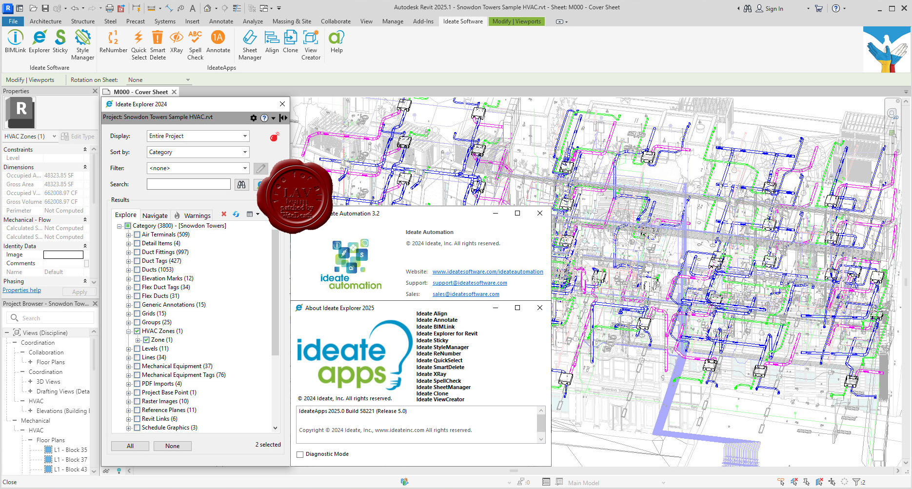
Ideate Software Revit Plugins 2022-2025
Automation, BIMLink, Explorer, Sticky, StyleManager
& Apps: Align, Annotate, Clone, QuickSelect, ReNumber, SheetManager, SmartDelete, SpellCheck, ViewCreator, XRay
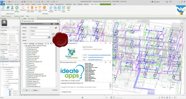
Revit users who design, build, operate, and maintain built environments can streamline workflows with Ideate Software’s Revit add-in applications, Ideate BIMLink, Ideate Explorer, Ideate Sticky, Ideate StyleManager, and IdeateApps. Customers can boost the power of their Ideate Software tools with Ideate Automation, a scripting solution that runs time-intensive activities in the background.
Ideate Automation
Use Ideate Automation with Ideate BIMLink, Ideate Explorer, IdeateApps, and Ideate StyleManager to execute a variety of workflows silently in the background, saving time and avoiding errors.
Ideate BIMLink
With our Revit add-on Ideate BIMLink, Autodesk Revit users can pull information from a file into Microsoft Excel for editing and push volumes of precise, consequential BIM data back into their Revit model with speed, ease and accuracy.
Ideate Explorer
Revit professionals keep their models clean and accurate with our Revit add-on Ideate Explorer. When using this model browser, as opposed to a project browser, users decrease the time they spend on model management, increase the accuracy of their models, and reduce file space.
Ideate Sticky
Revit schedules are the perfect tool to represent the data behind your Revit elements, but the lack of a text editor in Revit makes organizing and formatting other essential non-BIM data frustrating and time consuming. The Ideate Sticky Revit software plugin combines the ease and flexibility of Excel spreadsheet editing with the convenience of a sticky note. Use this Autodesk Revit plugin to elegantly connect non-BIM data from an Excel file into Revit projects, enhancing cross-team workflows.
Ideate StyleManager
The Ideate StyleManager Revit insight plugin addresses the challenges that arise when Revit users import content into the model, because the corresponding styles automatically come with the content. Proper management of these styles reduces publishing errors and end-user confusion, but the management process in Revit is time consuming and risky, and errors can dramatically impact the models and production documents.
IdeateApps
IdeateApps is a set of Revit applications designed to increase the productivity of the entire project team. Developed with specific tasks in mind, these tools address the challenges identified by people who use Revit software every day. The IdeateApps Revit plugin solutions will decrease the time spent on common tasks and increase the accuracy of BIM data in a Revit model, helping to keep projects of all sizes and complexities on time and on budget. |
| |
 Читать статью дальше (комментариев - 6)
| |
|
|
Автор: Williams
Дата: 17 июля 2024
Просмотров: 375 |
| |
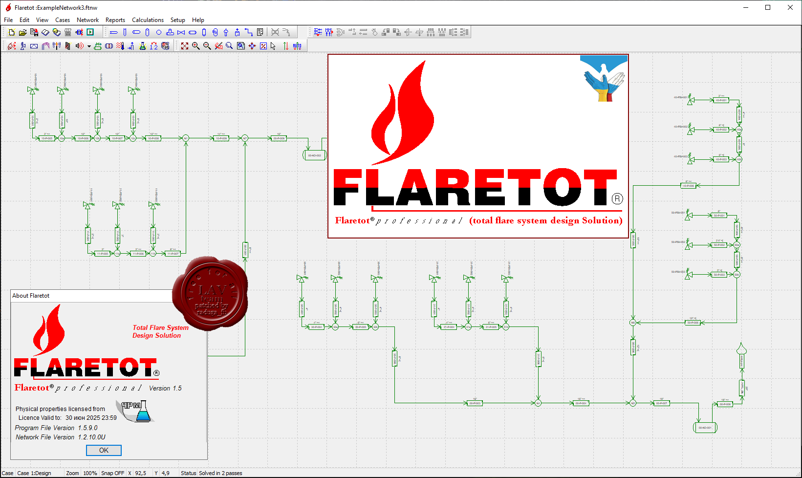
Flaretot Pro v1.5.9.0
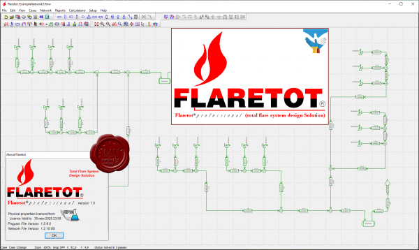
Flaretot is total flare system design & analysis software. Flaretot is created for all aspects of flare design. This software is developed and compiled by 4 engineers with combined total over 100 years of experience in flare system design, fabrication and operation.
More info |
| |
Читать статью дальше (комментариев - 6)
| |
|
|
Автор: Williams
Дата: 16 июля 2024
Просмотров: 295 |
| |
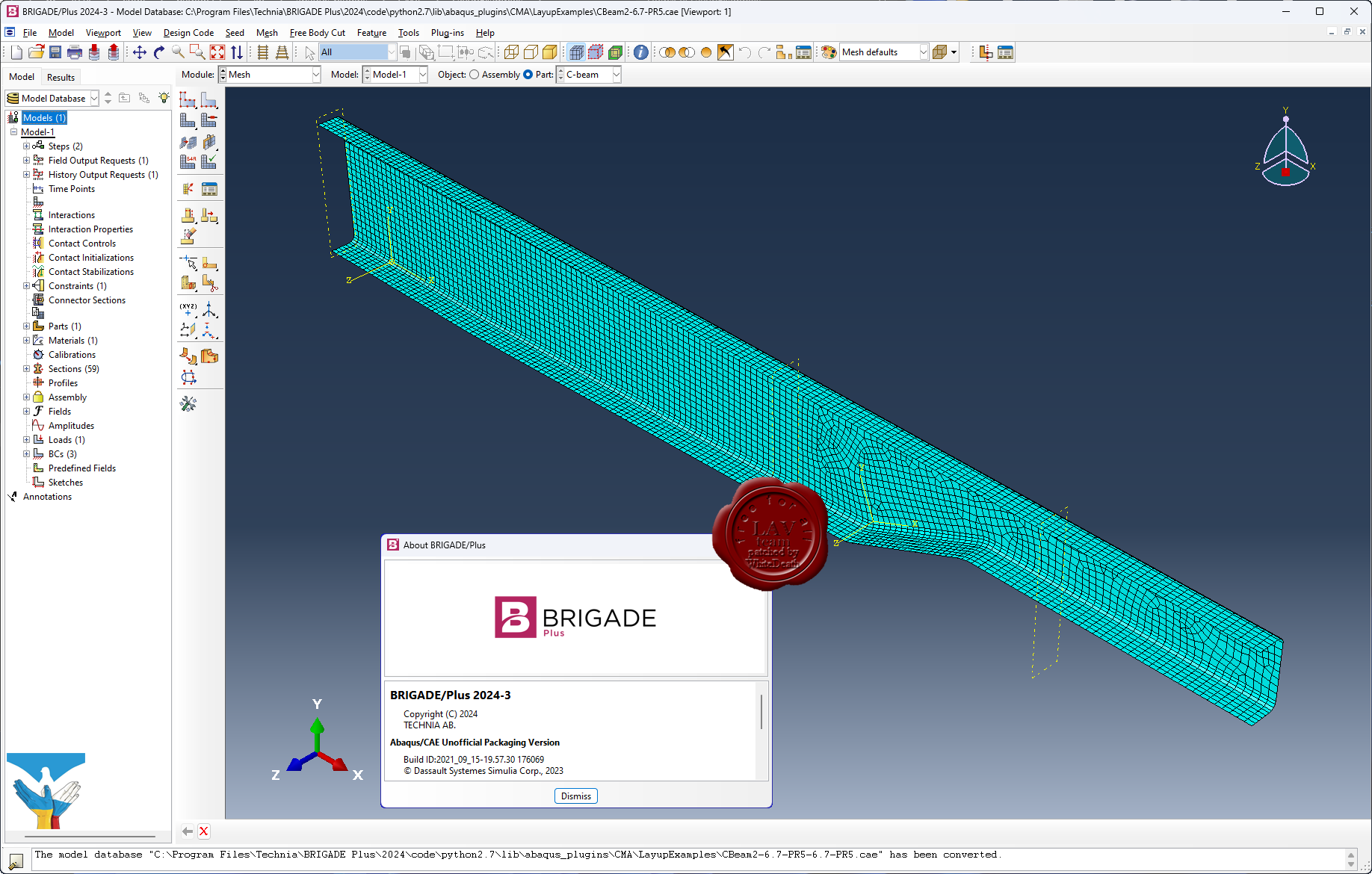
Technia BRIGADE Plus 2024.3
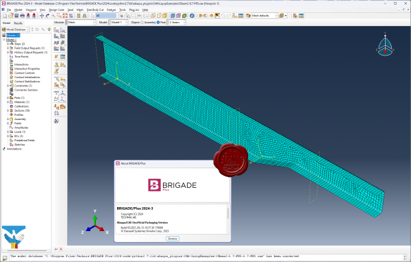
BRIGADE/Plus provides an easy-to-use environment for modeling of all types of bridges and civil structures. The intuitive user-interface integrates modeling, analysis and visualization of results. The parametric, feature-based, concept enables efficient modelling of complex structures.
Software includes predefined loads, vehicles and load combinations in accordance with a wide range of design codes including the Eurocodes with various National Annexes.
BRIGADE/Plus offers a complete range of advanced capabilities such as transient- and steady state dynamic analysis, non-linear material models and contact interactions. The results are easily visualized in 3D plots and 2D graphs. The integrated report generator can be used for efficient creation of input and result reports. Results can be automatically exported to the reinforcement module ConcreteDesigner or to customers own tool for design of reinforcement.
More info |
| |
Читать статью дальше (комментариев - 1)
| |
|
|
Автор: Williams
Дата: 15 июля 2024
Просмотров: 789 |
| |
CHI PCSWMM 2023 Professional 2D v7.6.3620
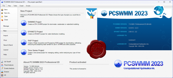
PCSWMM is an advanced modeling software for stormwater, wastewater, watershed and water distribution systems.
PCSWMM will help improve your new water supply, drainage and green infrastructure design, floodplain delineation, sewer overflow mitigation, water quality and integrated catchment analysis, 1D-2D modeling – and much, much more. Easy to learn, PCSWMM expands with you as your confidence grows.
Save a ton of time with smart and easy-to-use tools designed by engineers who use the software every day. With a high performance, stand-alone GIS engine at its core, you can efficiently analyze systems, synthesize, develop and prove models and make informed decisions.
PCSWMM is built to accommodate your existing software ecosystem – and with its open standard data formats, sharing your work with clients and colleagues is effortless. PCSWMM's open source engine is far from a black box, so you can confidently work with transparent and trusted code.
With no restrictions on model size and complexity, PCSWMM is optimized to handle millions of time series data points and hundreds of thousands of entities. No matter how large or small your model, you'll make effective use of all your data at a fraction of the cost of comparable software.
PCSWMM's design is incredibly intuitive and easy to use, allowing you to quickly focus on the engineering. And with unparalleled free educational resources, such as JWMM and OpenSWMM, comprehensive integrated training, and unlimited technical support from qualified professional engineers, you'll be a star. |
| |
Читать статью дальше (комментариев - 6)
| |
|
|
Автор: Williams
Дата: 13 июля 2024
Просмотров: 1 718 |
| |
modri planet d.o.o. 3Dsurvey v3.0.0
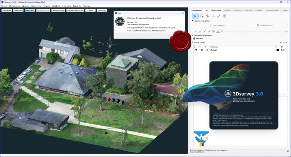
3Dsurvey is a software solution for land surveying data processing. Take a photo with any standard digital camera, import images into 3Dsurvey and produce your own orthophoto maps, digital surface models and calculate volumes faster and more easily. Data is processed automatically based on matching algorithms. Use our smart tools to be even more efficient.
More info
What's new |
| |
Читать статью дальше (комментариев - 19)
| |
|
|
Автор: Williams
Дата: 12 июля 2024
Просмотров: 341 |
| |
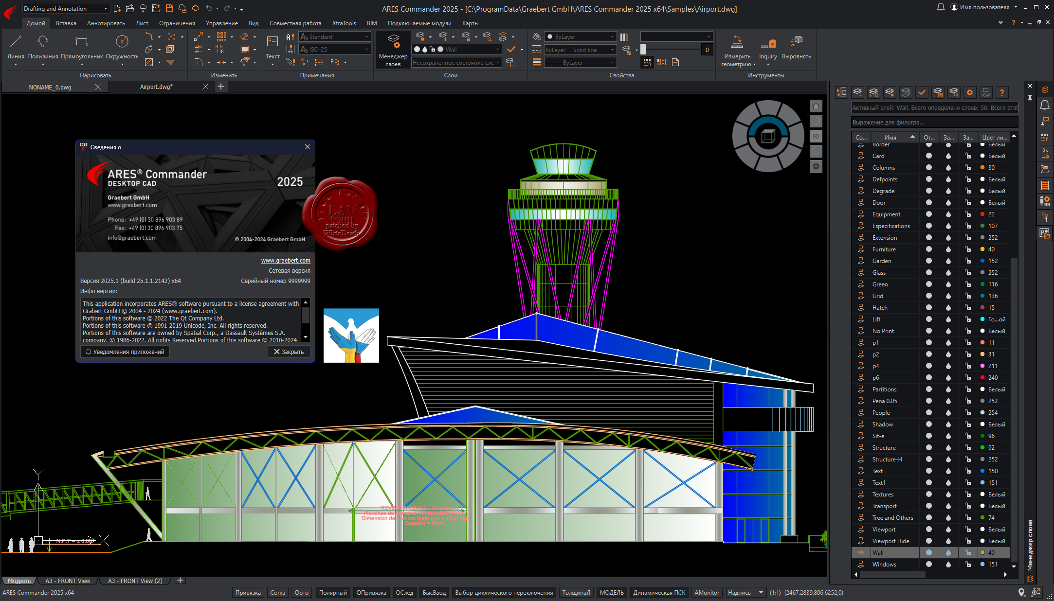
Graebert ARES Commander 2025 SP1

ARES Commander is desktop CAD for Windows, MacOS and Linux just like the traditional CAD software you may already be familiar with.
Experience the agility of ARES Commander to create and modify DWG drawings in 2D and 3D on your computers. Leverage the drafting and design features that you've come to expect for your DWG files. ARES Commander brings your CAD efficiency to the next level with smarter productivity tools and a unique concept: The Trinity of CAD.
Compare AutoCAD and ARES Commander |
| |
Читать статью дальше (комментариев - 2)
| |
|
|
Автор: Williams
Дата: 11 июля 2024
Просмотров: 473 |
| |
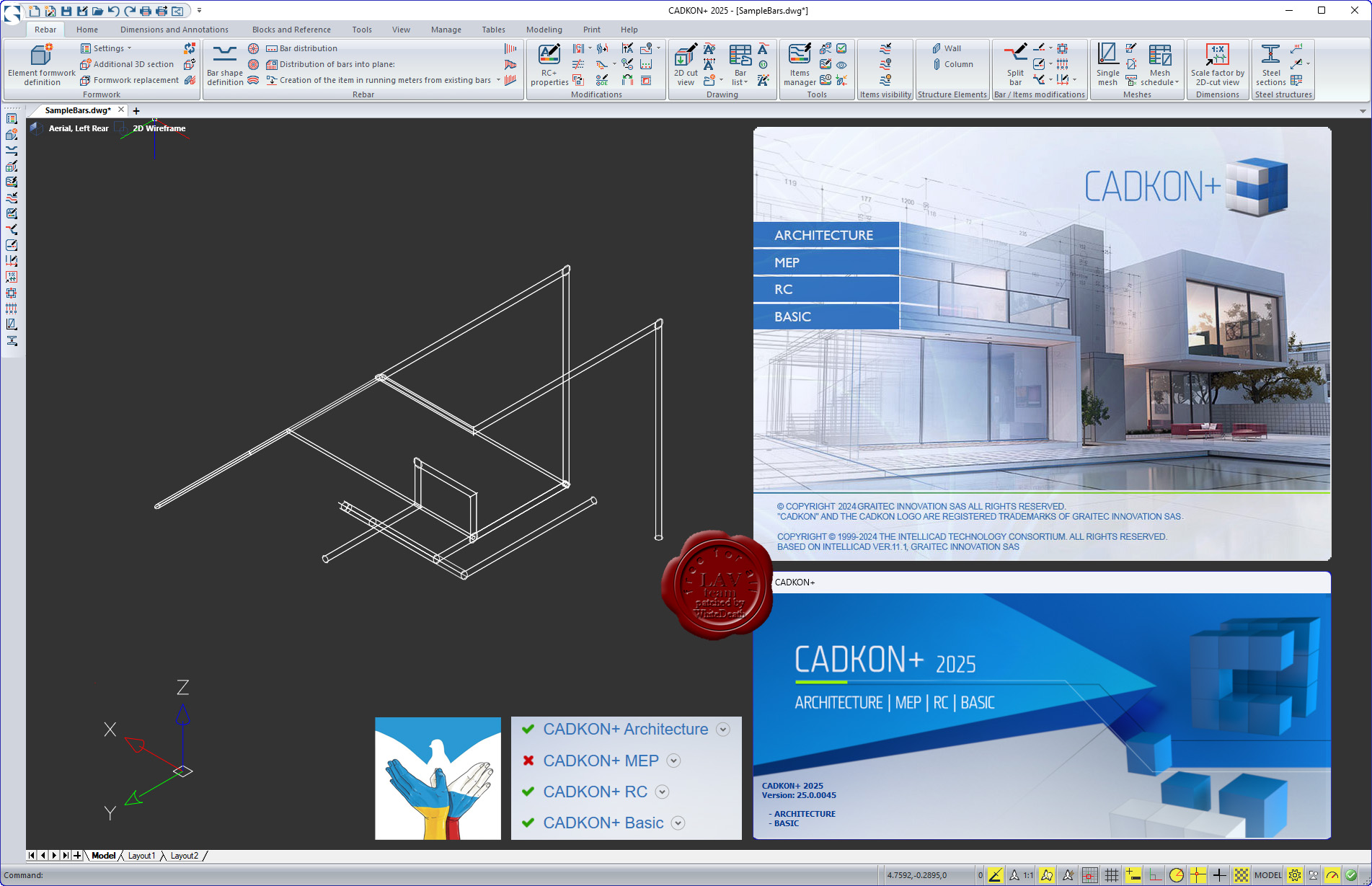
Graitec AB Studio CADKON+ 2025
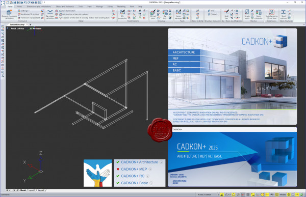
CADKON+ BASIC
All powerful drawing functions that you know from ordinary CAD software, including a full support of DWG format, work with layers, viewports and much more. All functions commonly used for drawing and drawing modifications are available. They are for example lines, polylines, copy, move, rotate, stretch, measure and many others. You can choose between a modern control environment using tool ribbons or a classic icon environment. Keyboard shortcut support or so called "Command Suggestion" are self-evident.
CADKON+ ARCHITECTURE
All efficient drawing functions, that you know from regular CAD programs, including full support of the latest DWG format. CADKON+ enables the drawing enviroment to be set according to existing company standards. It includes mainly a layer system and settings of linetypes and lineweights connected with it, furthermore drawing scale, units, display of elements and library sharing which is pre-set but can be also modified and set according to your company standards. CADKON+ offers compact command groups used to draw building construction that enable you render a specific construction in a drawing simply by entering its parameters. Consequent modifications and parameter changes can be done using specialized functions or basic editing tools. Unifying feature of all the rendered constructions are quick changes. To draw vertical cuts and views, CADKON+ provides tools, which you use to create cuts and views effectively and take use of already existing information from floor plan drawings. Rendered construction elements can be itemized and you may generate a table with a piece list and view schemes. It takes only a few clicks to create a room legend or a floor structure legend depending on the rooms. Apart from creating new projects, CADKON+ allows you to take over and modify other projects created originally in other CAD environments. This is possible thanks to independence and openness of the whole system. Access to libraries of manufacturers and common elements contributes to a higher productivity and to a efficient drawing. The option to save created constructions to be used later and by other users is another advantage. CADKON+ offers a wide variety of useful functions that can be used to finish a construction drawing with ease. They include dimensioning, text labels and references, legends of materials and used lines for cables, pipes, borders etc., stake points, stamps, drawing frames and much more.
CADKON+ MEP
Is absent in the installer.
CADKON+ RC
CADKON+ RC is CAD software fully compatible with DWG format. It offers to its users a simple, natural and cost-effective solution for frequent demands when creating and modifying drawings. With a modern and easy-to-use interface, CADKON+ RC creates all 2D and 3D elements, it contains functions to navigate in the drawing and visualise it and also works with terms such as "layers", "grip points", "windows" etc. The program includes a library of frequently used reinforcement shapes, including 3D shapes. Other shapes can be defined using a curve or by formwork. A variable length item is available for form-complex constructions, and you can use an item in linear meters to reinforce wreaths or like wall secondary reinforcement. Lists automatically contains inserted reinforcement with respect to user settings. You can choose whether to show items from the entire drawing, selected elements, or layers. Any change in reinforcement will immediately appear in the list so that these are always up to date. Tables are usually placed in the drawing, but they can also be exported to Excel. All inserted reinforcement also has its 3D model, which acts as a basis for its display and evaluation. This guarantees a clear evaluation of the amount of reinforcement used and also the display of reinforcement in 2D views. Changes made in one view are automatically taken into account in all other views. Each reinforcement bar can be displayed and described in each 2D-view in different way. The contents of annotations is filled and updated automatically according to the reinforcement. You can freely specify the shape of the annotations by assembling your own mask from different reinforcement parameters. Rebar meshes tools include a user-extensible meshes library, inserting single meshes, modifying and cutting them, pulling networks out of the floor plan with dimensioning, and a mesh schedule. There are a wide range of mesh presentation settings. |
| |
Читать статью дальше (комментариев - 2)
| |
|
|
Автор: Williams
Дата: 10 июля 2024
Просмотров: 3 632 |
| |
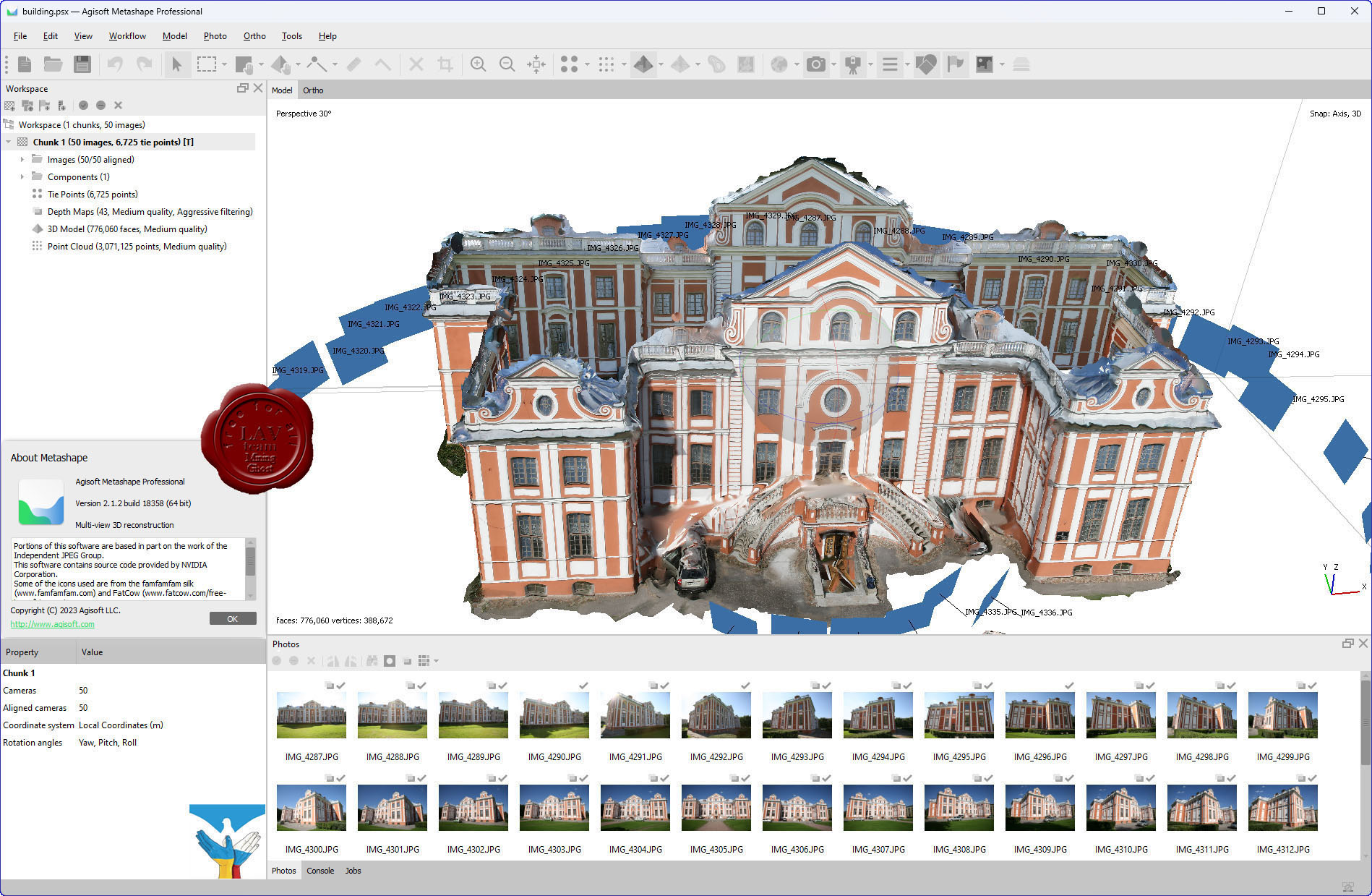
Agisoft Metashape Pro v2.1.2 build 18358

Agisoft Metashape Professional - это передовое программное обеспечение, максимально раскрывающее возможности фотограмметрии, а также включающее в себя технологии машинного обучения для анализа и пост-обработки, что позволяет получать максимально точные результаты.
Metashape позволяет обрабатывать изображения, получаемые с помощью RGB- или мультиспектральных камер, включая мультикамерные системы, преобразовывать снимки в плотные облака точек, текстурированные полигональные модели, геопривязанные ортофотопланы и цифровые модели рельефа/местности (ЦМР/ЦММ).
Дальнейшая постобработка позволяет удалять тени и искажения текстур с поверхности моделей, рассчитывать вегетационные индексы и составлять файлы предписаний для агротехнических мероприятий, автоматически классифицировать плотные облака точек и т.д.
Возможность экспорта во все внешние пакеты для постобработки делает Agisoft Metashape Professional универсальным фотограмметрическим инструментом.
Change log |
| |
Читать статью дальше (комментариев - 19)
| |
|
|
Автор: Williams
Дата: 9 июля 2024
Просмотров: 798 |
| |
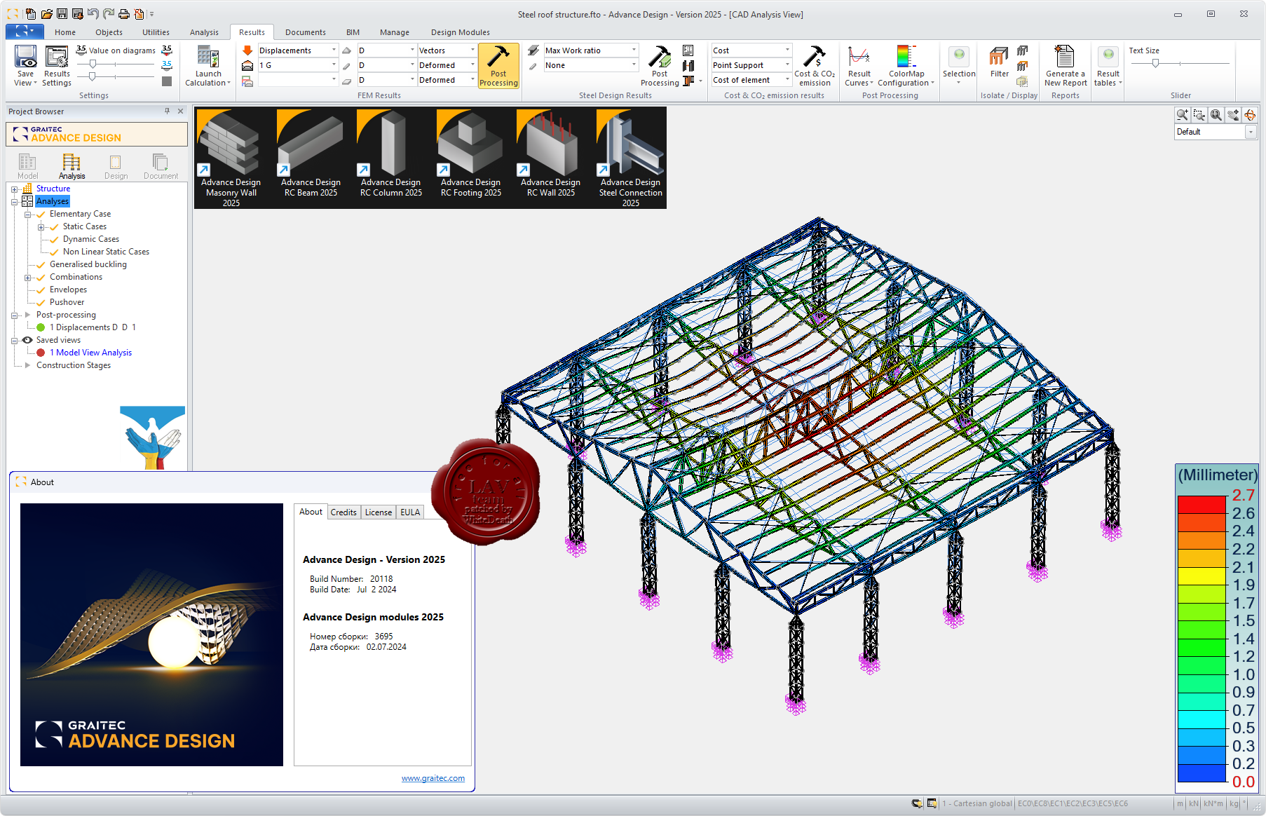
Graitec Advance Design 2025
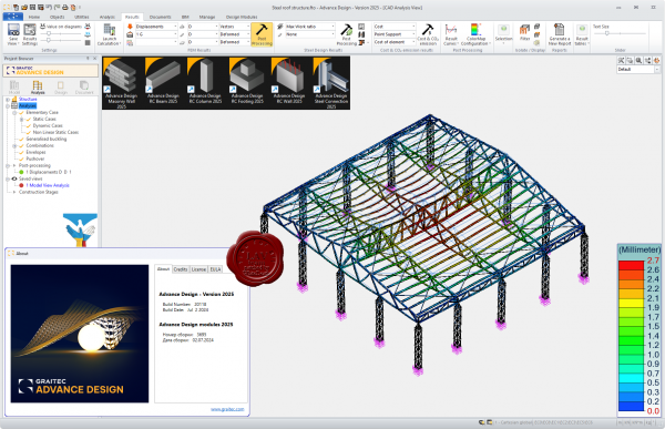
Graitec Advance - программный комплекс проектирования металлоконструкций.
Advance Design was specifically developed for industry professionals that require a superior solution for the structural analysis and design of Reinforced Concrete and Steel structures according to the latest versions of Eurocodes (EC0, EC1, EC2, EC3 and EC8). Advance Design features include easy modeling, a powerful FEM analysis engine, top-level design wizards, automated post-processing of results and automated reports. Achieve a new level of computer-assisted engineering with Advance Design. |
| |
Читать статью дальше (комментариев - 5)
| |
|
|
| ПОИСК ПО САЙТУ |
|
|
|
| КАЛЕНДАРЬ | | |
|
| « Октябрь 2025 » |
|---|
| Пн | Вт | Ср | Чт | Пт | Сб | Вс |
|---|
| | 1 | 2 | 3 | 4 | 5 | | 6 | 7 | 8 | 9 | 10 | 11 | 12 | | 13 | 14 | 15 | 16 | 17 | 18 | 19 | | 20 | 21 | 22 | 23 | 24 | 25 | 26 | | 27 | 28 | 29 | 30 | 31 | |
|
| |
| |
|