|
 |
 Автор: Williams Автор: Williams
 Дата: 25 июня 2019 Дата: 25 июня 2019
 Просмотров: 2 866 Просмотров: 2 866 |
| |
Dr. Don W. Green, Dr. Marylee Z. Southard - Perry's Chemical Engineers' Handbook, 9th Edition
McGraw-Hill Education, 2019
pdf, 5293 pages, english
ISBN: 978-0-07-183409-4

The gold standard for chemical engineering information - from the fundamentals to the state of the art. This industry-standard resource, first published in 1934, has equipped generations of engineers and chemists with vital information, data, and insights. Thoroughly revised to reflect the latest technological advances and processes, Perry's Chemical Engineers' Handbook, Ninth Edition, is indispensable for unsurpassed coverage of every aspect of chemical engineering. New features include coverage of bioreactions and bioprocessing, a practical presentation of thermodynamics fundamentals, and new and updated chemical property data. A must-have for students and professionals in every stage of their careers, Perry's provides all the technical details you'll need in a well-organized format: You'll find comprehensive material on chemical processes, reactor modeling, biological processes, biochemical and membrane separation, process and chemical plant safety, and much more. This fully updated edition covers: • Unit Conversion Factors and Symbols • Physical and Chemical Data (including prediction and correlation of physical properties) • Mathematics (including differential and integral calculus, statistics , optimization) • Thermodynamics • Heat and Mass Transfer • Fluid and Particle Dynamics • Reaction Kinetics • Process Control and Instrumentation • Process Economics • Transport and Storage of Fluids • Heat-Transfer Operations and Equipment • Psychrometry, Evaporative Cooling, and Solids Drying • Distillation • Gas Absorption and Gas-Liquid System Design • Liquid-Liquid Extraction Operations and Equipment • Adsorption and Ion Exchange • Gas-Solid Operations and Equipment • Liquid-Solid Operations and Equipment • Solid-Solid Operations and Equipment • Chemical Reactors • Bio-based Reactions and Processing • Waste Management (including air, wastewater, and solid waste management) • Process Safety (including inherently safer design) • Energy Resources, Conversion, and Utilization • Materials of Construction. |
| |
 Читать статью дальше (комментариев - 27)
| |
|
|
Автор: Williams
Дата: 24 июня 2019
Просмотров: 2 144 |
| |
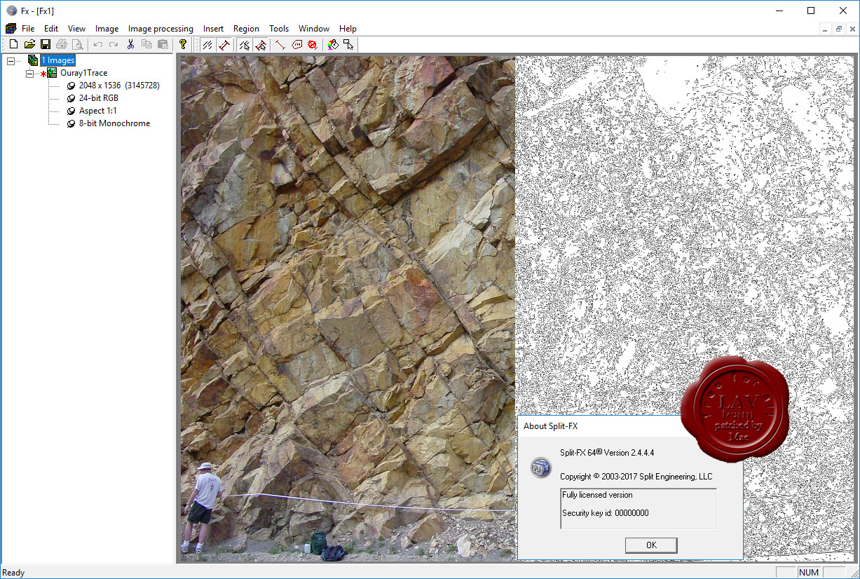
Split Engineering Split-FX v2.4.4.4 x64
The Split-FX software allows rock mass site characterization to be carried out in a safe and timely manner. Split-FX is a software package to process three dimensional point cloud data from LIDAR scans and photogrammetry. Quickly and easily generate detailed information regarding:
- Cell Mapping and pre-rock blast conditions, including in-situ block size and joint spacing.
- Cross sections analysis for slope instability, rockfall modeling and accurate measurement of burden.
- Change detection for rockfall and ground movement.
The results of a field survey can be automatically processed with the Split-FX software, resulting in three-dimensional information about the rock mass, including stereonets of fracture orientation and distributions of fracture size and roughness estimation. From start to finish, you can accurately characterize the fracturing at a field site in less time than it takes to make a few strike and dip measurements manually.
As opposed to traditional rock characterization where measurements on the face are required, LIDAR scanning and analysis can be conducted at significant distances from the rock face. This allows rock mass characterization to be carried out in situations where access to the face is not possible due to safety or other concerns. Also, the Split-FX software can produce a database of thousands of fractures for a rock site in less time than just a few fractures could be characterized using traditional techniques. Finally, the Split-FX software eliminates human bias by automating the process of collecting and processing rock mass data.
The software can view and edit point clouds, view digital images, create triangulated meshes, register point clouds and perform general point cloud measurements of distance, area and volume.
|
| |
Читать статью дальше (комментариев - 5)
| |
|
|
Автор: Williams
Дата: 22 июня 2019
Просмотров: 1 871 |
| |
RIBtec v19.0 build 22.05.2019

RIBtec is an integrated software which allows structural member design and CAD/ FEM-applications at the same time for structural and soil engineering as well as for sophisticated tunnel and bridge constructions. A wide range of multi-purpose tools are available which cover routine work as well as challenging engineering tasks in the high-end range. RIBtec includes all structural engineering tools. An object oriented, context sensitive functionality under Windows is the base for excellent comfort in application and high security in usage. All applications have the background of more than 45 years of software development in the area of structural and geotechnical analysis, design and construction. The available engineering tools are supplemented by an overall office- and project-management application.
|
| |
Читать статью дальше (комментариев - 12)
| |
|
|
Автор: Williams
Дата: 21 июня 2019
Просмотров: 2 579 |
| |
Siemens Simcenter FEMAP 2019.1

Femap – независимый от САПР пре- и постпроцессор от Siemens PLM Software для проведения инженерного анализа методом конечных элементов (МКЭ) (Finite Element Analysis – FEA). Femap является связующим звеном между пользователем и решателем - ядром, осуществляющим вычисления в задачах инженерного анализа. Система Femap, интегрированная с решателем NX Nastran, входит в линейку продуктов Velocity Series и является независимой полнофункциональной средой для моделирования, имитации и оценки результатов анализа характеристик изделия. Femap 11.3 x64 на базе решателя NX Nastran 10p2 x64 позволяет проводить анализ динамики и прочности конструкций, машин и сооружений, получать решение нестационарных нелинейных пространственных задач, задач механики композитов и композитных структур, строительной и технологической механики, проводить анализ теплопереноса, получать решение задач механики жидкости и газа, связанных многодисциплинарных задач.
Базовые модули Femap с NX Nastran позволяют проводить основные виды инженерного анализа, такие как линейный статический анализ, анализ частот и форм свободных колебаний, анализ потери устойчивости конструкций, анализ задач стационарного и нестационарного теплообмена, базовые возможности нелинейного анализа. Базовый нелинейный анализ включает учет таких нелинейностей, как геометрическая (большие деформации, перемещения, следящие нагрузки) и физическая (учет нелинейных материалов – пластичности, ползучести, вязкоупругости), учет контактного взаимодействия при малых перемещениях – «линейный» контакт, учет контакта с условием сплошности. Расширенный нелинейный модуль (Advanced Nonlinear) используется при анализе больших нелинейностей (в том числе деформирование [Эластомер|эластомеров], учет пространственного контактного взаимодействия), сочетании различных видов нелинейностей, а также при моделировании и расчете быстропротекающих нелинейных динамических процессов на основе явной схемы интегрирования. Femap включает три дополнительных модуля: Femap Flow Solver – позволяет осуществлять анализ гидро- и газодинамики; Femap Advanced Thermal Solver – предоставляет набор возможностей для анализа тепломассопереноса, включая моделирование жидкостных каналов, связанной конвекции и анализ гидро-, газодинамических потоков; Femap Thermal Solver – решение для температурного анализа и анализа теплопереноса. Femap используется специалистами проектных организаций для моделирования сложных конструкций, систем и процессов, таких как, спутники, самолеты, электронная аппаратура военного назначения, тяжелое строительное оборудование, подъемные краны, морской транспорт и технологическое оборудование. Femap обеспечивает решение сложных задач инженерного анализа в различных отраслях, например, таких как авиационно-космическая, вертолетостроение, оборонная промышленность и судостроение. |
| |
Читать статью дальше (комментариев - 4)
| |
|
|
Автор: Williams
Дата: 19 июня 2019
Просмотров: 1 801 |
| |
Robert Christopherson, Ginger Birkeland - Geosystems: An Introduction to Physical Geography, 10th Edition
Pearson, 2018
pdf, 694 pages, english
ISBN-13: 9780134642512

Among the most highly regarded texts in physical geography, Robert Christopherson’s best-selling Geosystems: An Introduction to Physical Geography is known for its meticulous attention to detail, up-to-date accuracy, and rich integration of climate change science. Uniquely organized, the text presents Earth systems topics as they naturally occur: atmosphere, hydrosphere, lithosphere, and biosphere. This interconnected and organic systems-based approach is highlighted in strong pedagogical tools, a structured learning path, and current, updated information. The 10th Edition includes new features and activities that help students apply geography to the real world, revised infographics, and new exercises designed to enhance learning.
Mastering Geography is an online homework, tutorial, and assessment product proven to improve results by helping students quickly master concepts. Students benefit from self-paced coaching activities that feature personalized wrong-answer feedback and hints that emulate the office-hour experience and help keep students on track. With a wide range of interactive, engaging, and assignable activities, students are encouraged to actively learn and retain challenging physical geography concepts. |
| |
Читать статью дальше (комментариев - 14)
| |
|
|
Автор: Williams
Дата: 18 июня 2019
Просмотров: 6 651 |
| |
Hexagon CAESAR II 2019 v11.00.00.4800 build 190424

CAESAR II is the world’s most widely used pipe flexibility and stress analysis software, CAESAR II is a complete solution that enables quick and accurate analysis of piping systems subjected to a wide variety of loads, taking into account weight, pressure, thermal, seismic and other static and dynamic conditions, based on user-defined variables and accepted industry guidelines. CAESAR II analyzes piping systems of any size or complexity, whether the need is to design a new system or trouble-shoot an existing one. And, CAESAR II features the only bi-directional link between analysis and CAD design, allowing engineers and designers to easily share information while keeping the drawing and related data in sync.
|
| |
Читать статью дальше (комментариев - 28)
| |
|
|
Автор: Williams
Дата: 17 июня 2019
Просмотров: 647 |
| |
Howden Group (ex. Chasm Consulting) VentSim Design Premium v5.1.4.5
As part of Howden’s strategy to become the world’s leading provider of mine ventilation solutions, we are pleased to announce the acquisition of Chasm Consulting and its world leading products Ventsim/PumpSim. Providing industry-leading 3D design and simulation capability, the Ventsim/PumpSim software is widely used among the global mine ventilation community. Howden will now offer a full suite of solutions for mine ventilation, from modelling and design software to full turnkey projects including main and auxiliary fans, instrumentation, automation and Ventilation on Demand via the Simsmart product line.
Ventsim was originally introduced to mining operations in 1994 to help visually design, improve and optimize underground ventilation systems. It is now licensed to over 1000 mine sites, consultants, universities, governments and research agencies around the world. The new Ventsim Visual ventilation software was released in 2009 and offers a graphically rich and dynamic ventilation environment with many more features than the original Ventsim Classic. Ventsim Visual is available in three versions: Standard, Advanced and Premium.
Ventsim Visual Standard is a lower cost version based on incompressible flow simulation routines and includes dynamic animated 3D graphics showing real airway dimensions and shapes together with animated air flows. Colours show over 30 different data types including airflow, velocities, various pressures and costs. In addition, the Standard version comes with contaminant spread routines to help predict steady state flow of gases, dust, fumes and smoke.
Ventsim Visual Advanced uses advanced compressible flow modelling, including automatic density and fan curve adjustment, automatic natural ventilation simulation and prediction of temperatures and humidity due to rock strata, auto compression, diesel equipment and electric motors.
Ventsim Visual Premium includes all features of Ventsim Visual Advanced as well as VentFIRE fire simulation, VentLog ventilation survey record software, and the optional LiveView remote data connection and display module. |
| |
Читать статью дальше (комментариев - 3)
| |
|
|
Автор: Williams
Дата: 16 июня 2019
Просмотров: 2 243 |
| |
Boole & Partners StairDesigner Pro-PP v7.11a

StairDesigner – программное обеспечение для проектирования лестниц и ступенек для любых жилых и промышленных строений.Быстрый расчёт для угловых,закруглённых и прочих вариантов,вычисление конфигурации ступеньки,стойки,перил,выбор нужного материала (дерево,камень,мрамор,железо).Готовый результат можно распечатать на принтере или экспортировать в формате DXF.
StairDesigner is a polyvalent straight, helicoidal, and balanced stair design software, used in the wood, marble, stone, and metal industries. StairDesigner allows a quick stairway parameters entry. Its Help and Control Function checks the Riser Height, Tread Length, and Stair Rule parameters (Blondel’s law), and helps reaching the stair compliance. StairDesigner is based on the Boole & Partners exclusive Global Balancing Function, which summarizes major balancing theories, and calculates «S-shaped» stairs, cut-off corners stairs, English styled stairs, and rounded stairs, and also optimizes concrete stairs coverage (StairDesigner-Pro_RB). StairDesigner calculates all the stair components : steps, risers, stringboards, racks, straws, poles, handrails and banisters, which may be printed, plotted in a scale 1/1 (jigs), or exported in DXF format. |
| |
Читать статью дальше (комментариев - 13)
| |
|
|
| ПОИСК ПО САЙТУ |
|
|
|
| КАЛЕНДАРЬ | | |
|
| « Октябрь 2025 » |
|---|
| Пн | Вт | Ср | Чт | Пт | Сб | Вс |
|---|
| | 1 | 2 | 3 | 4 | 5 | | 6 | 7 | 8 | 9 | 10 | 11 | 12 | | 13 | 14 | 15 | 16 | 17 | 18 | 19 | | 20 | 21 | 22 | 23 | 24 | 25 | 26 | | 27 | 28 | 29 | 30 | 31 | |
|
| |
| |
|