|
 |
 Автор: Williams Автор: Williams
 Дата: 15 августа 2022 Дата: 15 августа 2022
 Просмотров: 1 354 Просмотров: 1 354 |
| |
CSI CSiXCAD v19.2.0 build 0152
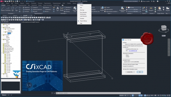
CSiXCAD - это плагин, разработанный компанией Computers and Structures для платформ AutoCAD и BricsCAD, ускоряющий выпуск чертежей благодаря интеграции с расчётным ПО ETABS/SAP2000. CSiXCAD реализует прямую связь между расчётной моделью конструкции, заданной в ETABS/SAP2000 и чертежами, получаемыми в CAD-программах на основе этой расчётной модели.
CSiXCAD предоставляет пользователю комплексную BIM модель в CAD-программе и позволяет работать со следующими элементами:
- Планы этажей.
- Разрезы.
- Схемы расположения балок и колонн.
- Схемы армирования балок в разрезе.
- Схемы армирования стен в плане и в разрезе.
- Схемы армирования плит в плане.
|
| |
 Читать статью дальше (комментариев - 7)
| |
|
 |
 Автор: Williams Автор: Williams
 Дата: 14 августа 2022 Дата: 14 августа 2022
 Просмотров: 318 Просмотров: 318 |
| |
Уважаемые коллеги, друзья!
От всей души поздравляю Вас с нашим профессиональным праздником!!!
Желаю, чтобы мосты не раскачивались, краны не падали, а заказчики исправно платили!
Всем мирного неба над головой. Как в детстве!
Искренне всех Вас обнимаю.
Williams/LAVteam |
| |
 Читать статью дальше (комментариев - 26)
| |
|
 |
 Автор: Williams Автор: Williams
 Дата: 14 августа 2022 Дата: 14 августа 2022
 Просмотров: 3 059 Просмотров: 3 059 |
| |
Rarlab WinRAR v6.11 bra+chi+eng+esp+fra+ger+ita+prs+por+rus+srb+tur+ukr x32+x64
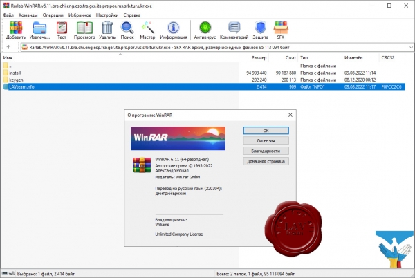
Архиватор RAR является самой распространенной программой после операционной системы и браузера, ведь большинство программ и в Интернете, и у пользователей хранятся в сжатом виде в архивах.
WinRAR – мощная утилита для создания и управления архивами, содержащая целый спектр дополнительных полезных функций. Программа WinRAR ежедневно используется миллионами людей во всем мире для экономии места на ПК и быстрой передачи файлов.
WinRAR больше не поддерживает Windows 98, Windows Me, Windows NT.
What's new in the latest version:
Windows 11 support statement for WinRAR 6.11:
win.rar GmbH is committed to supporting the Microsoft release cadence
for Windows 11. win.rar GmbH works closely with Microsoft to make sure
that WinRAR is fully compatible with Windows 11. This notice provides
a status update on WinRAR 6.11 support for Windows 11:
Rounded corners, the title bar and snap layouts user interface elements
Confirmed, supported
New installations of Windows 11
Confirmed, supported
In-place upgrades of Windows 11 (upgrading an existing system,
with win.rar GmbH products already installed, to Windows 11)
Confirmed, supported
WinRAR - What's new in the latest version
Version 6.11
1. Added support for Gz archives with large archive comments.
Previously the extraction command failed to unpack gz archives
if comment size exceeded 16 KB.
2. Archive comments in gz archives are displayed in the comment window
and recognized by "Show information" command. Large comments are
shown partially.
Previous versions didn't display Gzip comments.
3. Reserved device names followed by file extension, such as aux.txt,
are extracted as is in Windows 11 even without "Allow potentially
incompatible names" option or -oni command line switch.
Unlike previous Windows versions, Windows 11 treats such names
as usual files.
Device names without extension, such as aux, still require these
options to be unpacked as is regardless of Windows version.
4. Switch -mes can be also used to suppress the password prompt
and abort when adding files to encrypted solid archive.
5. Additional measures to prevent extracting insecure links are
implemented.
6. Bugs fixed:
a) if password exceeding 127 characters was entered when unpacking
an encrypted archive with console RAR, text after 127th character
could be erroneously recognized as user's input by different
prompts issued later;
B) wrong archived file time could be displayed in overwrite prompt
when extracting a file from ZIP archive. It happened if such
archive included extended file times and was created in another
time zone. It didn't affect the actual file time, which was set
properly upon extraction. |
| |
 Читать статью дальше (комментариев - 14)
| |
|
 |
 Автор: Williams Автор: Williams
 Дата: 13 августа 2022 Дата: 13 августа 2022
 Просмотров: 2 230 Просмотров: 2 230 |
| |
RockWare RockWorks 2022.7.28 x64
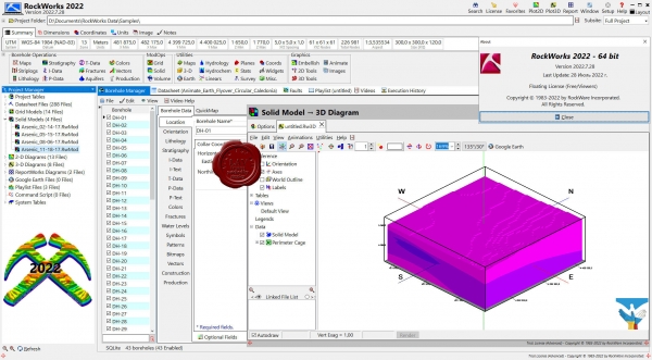
RockWorks is the standard in the environmental, geotechnical, petroleum, and mining industries for surface and subsurface data visualization, with popular tools such as maps, logs, cross sections, fence diagrams, solid models and volume calculations. RockWorks offers numerous options for analyzing your surface and subsurface data, and accepts many different data types, such as stratigraphy, lithology, downhole geochemistry / geophysics / geotechnical measurements, color intervals, fractures, and aquifer data.
Display RockWorks graphic output in its built-in 2D and 3D viewing/editing windows, or export to CAD, Google Earth, and other GIS programs. Use the ReportWorks module to create page layouts for reports and posters.
RockWorks is offered with three feature levels so you can buy just the program tools you need:
Basic: All Utilities programs, plus Borehole Manager maps, logs, log sections. 5 items per playlist, 3 faults.
Standard: All Basic level tools, plus Borehole Manager modeling: lithology, stratigraphy, geophysical/geochemical/geotechnical, aquifers, colors, fractures. 5 items per playlist, 3 faults.
Advanced: All Standard level tools, plus SQL-server database support, program automation (scripting), Borehole Manager petroleum production diagrams. Unlimited items per playlist, unlimited faults. |
| |
 Читать статью дальше (комментариев - 12)
| |
|
 |
 Автор: Williams Автор: Williams
 Дата: 11 августа 2022 Дата: 11 августа 2022
 Просмотров: 2 327 Просмотров: 2 327 |
| |
Graitec OMD 2023
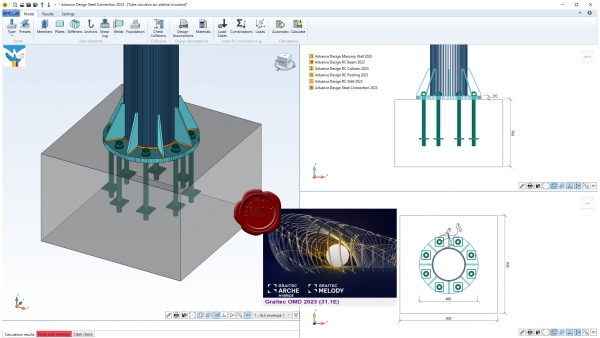
Depuis sa commercialisation en 1993, Arche s'est imposй comme le logiciel de rйfйrence pour la conception et le dessin de bвtiments en bйton armй. A partir d'un modиle 3D de bвtiment composй de dalles, poutres, poteaux, voiles et fondations, Arche analyse la stabilitй globale de l'ouvrage et produit automatiquement tous les plans de ferraillage. Le logiciel Arche se distingue avant tout par les innovations techniques qu'il met en œuvre : prй dimensionnement de la structure, calculs de descente de charges et de contreventement mixant mйthode traditionnelle et modйlisations numйriques sophistiquйes, production automatique des plans de ferraillage des йlйments de structures suivant diffйrentes normes, notamment les EC0, EC1, EC2 et EC8.
Melody automatise le dimensionnement et la vйrification des profilйs et des attaches pour les portiques, les planchers ou les chemins de roulement. Melody produit йgalement des mйtrйs, des estimatifs et des notes de calcul complиtes en quelques minutes.
|
| |
 Читать статью дальше (комментариев - 12)
| |
|
 |
 Автор: Williams Автор: Williams
 Дата: 10 августа 2022 Дата: 10 августа 2022
 Просмотров: 8 667 Просмотров: 8 667 |
| |
CSI ETABS v20.3.0 build 2929 x64
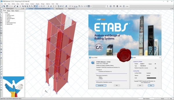
The innovative and revolutionary new ETABS is the ultimate integrated software package for the structural analysis and design of buildings. Incorporating 40 years of continuous research and development, this latest ETABS offers unmatched 3D object based modeling and visualization tools, blazingly fast linear and nonlinear analytical power, sophisticated and comprehensive design capabilities for a wide-range of materials, and insightful graphic displays, reports, and schematic drawings that allow users to quickly and easily decipher and understand analysis and design results.
From the start of design conception through the production of schematic drawings, ETABS integrates every aspect of the engineering design process. Creation of models has never been easier - intuitive drawing commands allow for the rapid generation of floor and elevation framing. CAD drawings can be converted directly into ETABS models or used as templates onto which ETABS objects may be overlaid. The state-of-the-art SAPFire 64-bit solver allows extremely large and complex models to be rapidly analyzed, and supports nonlinear modeling techniques such as construction sequencing and time effects (e.g., creep and shrinkage). Design of steel and concrete frames (with automated optimization), composite beams, composite columns, steel joists, and concrete and masonry shear walls is included, as is the capacity check for steel connections and base plates. Models may be realistically rendered, and all results can be shown directly on the structure. Comprehensive and customizable reports are available for all analysis and design output, and schematic construction drawings of framing plans, schedules, details, and cross-sections may be generated for concrete and steel structures.
ETABS provides an unequaled suite of tools for structural engineers designing buildings, whether they are working on one-story industrial structures or the tallest commercial high-rises. Immensely capable, yet easy-to-use, has been the hallmark of ETABS since its introduction decades ago, and this latest release continues that tradition by providing engineers with the technologically-advanced, yet intuitive, software they require to be their most productive. |
| |
 Читать статью дальше (комментариев - 56)
| |
|
 |
 Автор: Williams Автор: Williams
 Дата: 8 августа 2022 Дата: 8 августа 2022
 Просмотров: 2 454 Просмотров: 2 454 |
| |
ZwSoft ZWCAD 2023 Pro v23.00 ENG+RUS x64
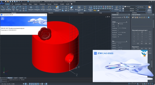
ZWCAD Professional - мощная система для 2D/3D проектирования и создания чертежей с полной поддержкой формата DWG, привычным интерфейсом и уникальными функциями, дающими значительное удобство в работе: умным выбором объектов по заданным критериям, сравнением чертежей, жестами мышью, голосовыми метками, умной печатью и многими другими. Являясь результатом постоянного совершенствования в течение более 20 лет, ZWCAD 2023 представляет собой надежное и эффективное решение САПР, которое выводит процесс проектирования на высочайший уровень.
Осуществляя поддержку программных интерфейсов .Net, VBA и ZRX, ZWCAD Professional позволяет использовать существующие, а также разрабатывать собственные специализированные решения для автоматизации работы инженеров, конструкторов, архитекторов и других специалистов. |
| |
 Читать статью дальше (комментариев - 12)
| |
|
 |
 Автор: Williams Автор: Williams
 Дата: 7 августа 2022 Дата: 7 августа 2022
 Просмотров: 9 910 Просмотров: 9 910 |
| |
Agisoft Metashape Pro v1.8.4 build 14671
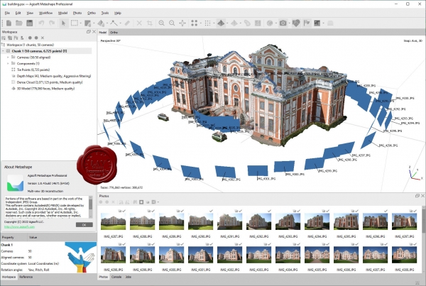
Agisoft Metashape Professional - это передовое программное обеспечение, максимально раскрывающее возможности фотограмметрии, а также включающее в себя технологии машинного обучения для анализа и пост-обработки, что позволяет получать максимально точные результаты.
Metashape позволяет обрабатывать изображения, получаемые с помощью RGB- или мультиспектральных камер, включая мультикамерные системы, преобразовывать снимки в плотные облака точек, текстурированные полигональные модели, геопривязанные ортофотопланы и цифровые модели рельефа/местности (ЦМР/ЦММ).
Дальнейшая постобработка позволяет удалять тени и искажения текстур с поверхности моделей, рассчитывать вегетационные индексы и составлять файлы предписаний для агротехнических мероприятий, автоматически классифицировать плотные облака точек и т.д.
Возможность экспорта во все внешние пакеты для постобработки делает Agisoft Metashape Professional универсальным фотограмметрическим инструментом.
|
| |
 Читать статью дальше (комментариев - 31)
| |
|
 |
| ПОИСК ПО САЙТУ |
 |
|
 |
| КАЛЕНДАРЬ | | |
 |
| « Октябрь 2025 » |
|---|
| Пн | Вт | Ср | Чт | Пт | Сб | Вс |
|---|
| | 1 | 2 | 3 | 4 | 5 | | 6 | 7 | 8 | 9 | 10 | 11 | 12 | | 13 | 14 | 15 | 16 | 17 | 18 | 19 | | 20 | 21 | 22 | 23 | 24 | 25 | 26 | | 27 | 28 | 29 | 30 | 31 | |
|
 | |
| |
|