|
 |
 Автор: Williams Автор: Williams
 Дата: 18 июля 2025 Дата: 18 июля 2025
 Просмотров: 819 Просмотров: 819 |
| |
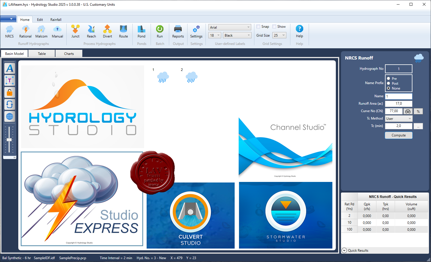
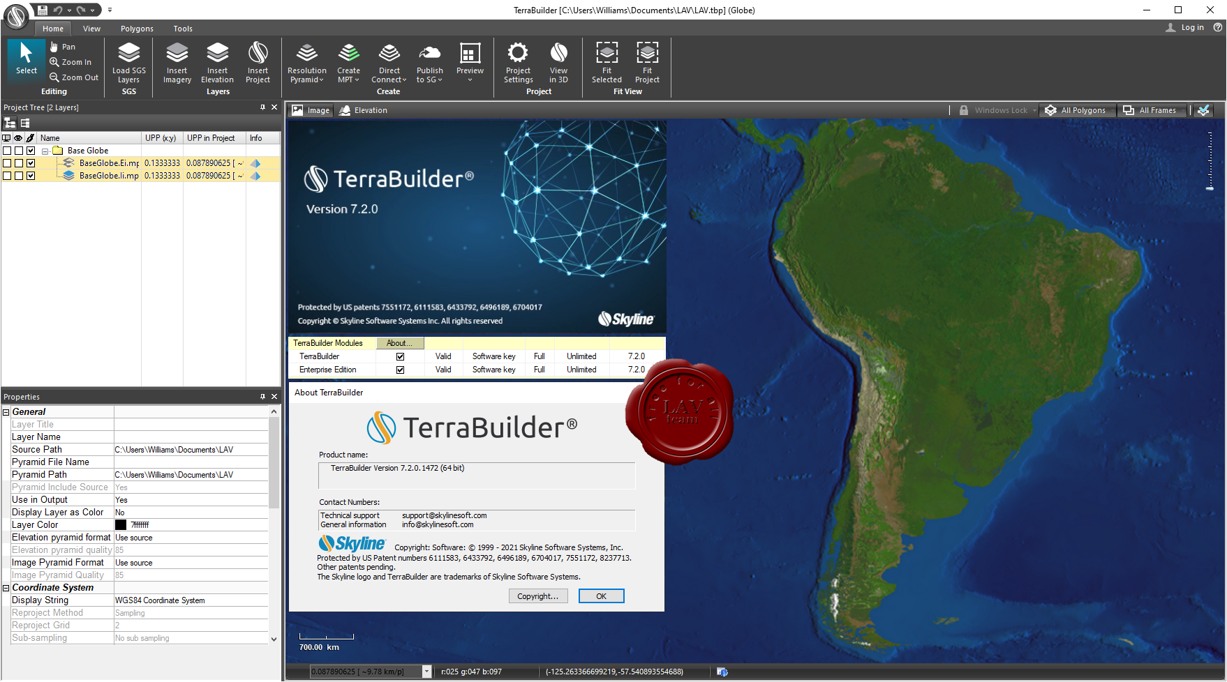
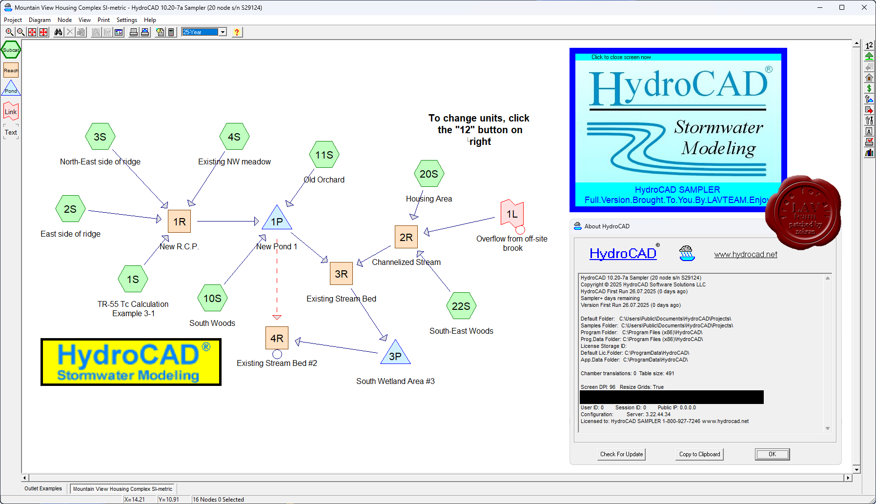
Hydrology Studio Suite 2025
Culvert Studio v2.0.0.27, Channel Studio v2.0.0.30,
Hydrology Studio v3.0.0.38, Stormwater Studio v3.0.0.38, Studio Express v1.0.0.18
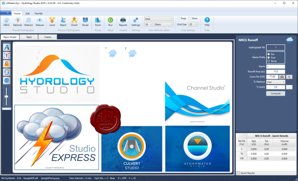
The Hydrology Studio Suite is a collection of five superb drainage design programs that will streamline and standardize your stormwater design processes while adding a consistent, professional look throughout your firm.
Culvert Studio. Was designed to be a culvert modeler that is as easy to use as it is beautiful to look at. Everything is right in front of you, leaving you to be more productive, and not searching for dialog boxes. Use it once and you’ll be hooked. It’ll be the culvert design software you’ll prefer to use – and love – on every project.
Channel Studio. Is easy-to-use software for modeling open channel systems. Compute water surface profiles for any open channel including bridge structures, culvert crossings and inline weirs. Perfect for site development projects.
Hydrology Studio. From complex watershed modeling to pre- and post-development drainage studies with detention ponds, Hydrology Studio makes stormwater design a breeze. This is exceptional hydrology software – simple to use – free to download.
Stormwater Studio. Finally, stand-alone storm sewer design software with an intuitive user interface. Featuring automated design & analysis capabilities; energy-based water surface profile calculations; user definable design constraints and very simple work flows.
Studio Express. The simple hydraulic calculator tool to do pipe, open channel, orifice, weir, inlet, hydrology and groundwater mounding calculations, on the fly. |
| |
 Читать статью дальше (комментариев - 7)
| |
|
|
Автор: Williams
Дата: 17 июля 2025
Просмотров: 283 |
| |
Skyline SkylineGlobe Server v8.2.1 build 50720
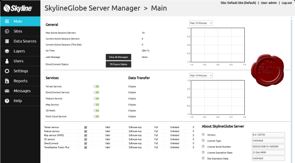
The SkylineGlobe Server private cloud solution provides a comprehensive set of web services for publishing, storing, managing and streaming 2D and 3D geospatial content. All your GIS layer types are supported: 3D mesh , imagery, elevation, feature and point cloud. SkylineGlobe Server makes it easy for you to share your data by converting and exposing your content in multiple formats.
SkylineGlobe Server streams all 2D and 3D data needed to support complex TerraExplorer Desktop, web and mobile projects. Data includes all 3D mesh, imagery, elevation, and feature layers in stream-optimized formats, and all project resources published by TerraExplorer Pro. SkylineGlobe Server also provides powerful search tools and management and search capabilities.
SkylineGlobe Server streams data to Cesium, QGIS and other OGC clients in their native formats:
- 3D mesh layers as 3D Tiles
- Imagery and elevation using the WMS or WMTS protocol
- Point cloud layers as 3D Tiles
- Feature layers using either WFS protocol, or WFS-T to support edits to the data source
|
| |
Читать статью дальше (комментариев - 2)
| |
|
|
Автор: Williams
Дата: 16 июля 2025
Просмотров: 655 |
| |
Skyline PhotoMesh / PhotoMesh Fuser v8.0.2 build 41012
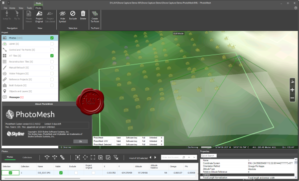
PhotoMesh – Fully automated, scalable photogrammetry high-performance 3D reconstruction that transforms photos into quality, 2D and 3D geospatial data.
Combining photos in a wide range of formats, PhotoMesh generates highly-detailed 3D meshes, orthophotos, point clouds, elevation models, and more. PhotoMesh’s breakthrough 2D and 3D mapping technology is based on the highest-performance photogrammetry, computer vision, and computational geometry algorithms.
PhotoMesh employs elaborate tiling mechanisms to efficiently handle projects of any size, even large projects with hundreds of thousands of photos. Running on standard hardware, PhotoMesh can also exploit computer clusters and cloud computing to vastly accelerate the build by running a single project simultaneously on hundreds of fuser machines. |
| |
Читать статью дальше (комментариев - 7)
| |
|
|
Автор: Williams
Дата: 14 июля 2025
Просмотров: 508 |
| |
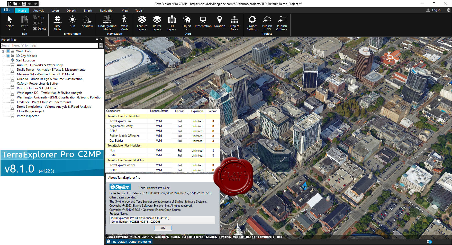
Skyline TerraExplorer Pro v8.1.0 build 41223

A cutting-edge 3D GIS desktop viewer and creator that provides powerful tools and a high resolution 3D environment in which to view, query, analyze and present geospatial data. With TerraExplorer's robust and extensive capabilities and ever-increasing interoperability, stunningly realistic 3D visualizations can be created by overlaying the terrain with unlimited data layers, 3D models, virtual objects and more.
TerraExplorer Plus adds loading of all 2D and 3D offline formats, feature layer editing and querying, advanced objects and drawing tools, a set of tools for professional usage, and the advanced Pro API interfaces.
TerraExplorer Pro adds publishing capabilities as well as uploading of data to SkylineGlobe cloud. |
| |
Читать статью дальше (комментариев - 4)
| |
|
|
Автор: Williams
Дата: 12 июля 2025
Просмотров: 526 |
| |
Graitec Tricalc Gest Mideplan AdvanceCAD 2026.0

Tricalc is a complete and integrated software for the design of structures, from the structural model to the dimensioning, detailing and final fabrication of the structures. In each of the phases of the project, Tricalc presents functionalities that are very valuable for structural designers.Tricalc allows an integrated work process to be carried out, from the modeling of a structure, to the final construction and manufacturing plans of the structure. With its workflow, greater security is guaranteed, since all the information is related and linked to a single model. In this structural model, all the elements are calculated in an integrated way, regardless of their material, using a 2nd order P-Delta analysis and six degrees of freedom per node, which avoids simplifications that can be risky for the degree of safety that needed in projects. In this sense, the integrated calculation of all the structural elements carried out by Tricalc allows us to analyze how its elements interact with each other, and obtain the most realistic behavior possible of the structure as a whole, increasing the degree of knowledge of the behavior of the entire structure. The current times require new capacities; To successfully face these challenges, it is necessary to equip professionals with new and powerful tools.
Efficiency and safety are essential for the success of projects. Tricalc's modeling and analysis capacity makes it the ideal solution to guarantee efficient modeling and safe analysis, allowing more time to be spent on project design and conception and less on work processes. Tricalc includes among its main characteristics, the ease of use, which allows, within a Windows environment in the most recent standard, to create new structures from DWG and DXF drawings and from three-dimensional BIM models. The possibility of working not only in horizontal planes, but also in vertical, inclined planes, or even in any configuration of planes, helps when modeling complex architectures, which are not always large, since in small details many Sometimes there is the complexity. Likewise, the use of automatic assistants will allow the generation of warehouse-type structures extremely quickly, among hundreds of parameterizable options, offices, homes, scaffolding, LSF typology, etc. even special elements such as 3D stairs, variable inertia bars. The innovative capabilities of analysis of results that Tricalc has, allows to know with a high degree of precision, the behavior of the structure, going through graphs of efforts and displacements by frames, by floors, graphs of isovalues, reinforcement appraisal, etc. . both in the 3D solid model and in the analytical wireframe model. |
| |
Читать статью дальше (комментариев - 5)
| |
|
|
| ПОИСК ПО САЙТУ |
|
|
|
|