|
 |
 Автор: Williams Автор: Williams
 Дата: Вчера, 02:00 Дата: Вчера, 02:00
 Просмотров: 598 Просмотров: 598 |
| |
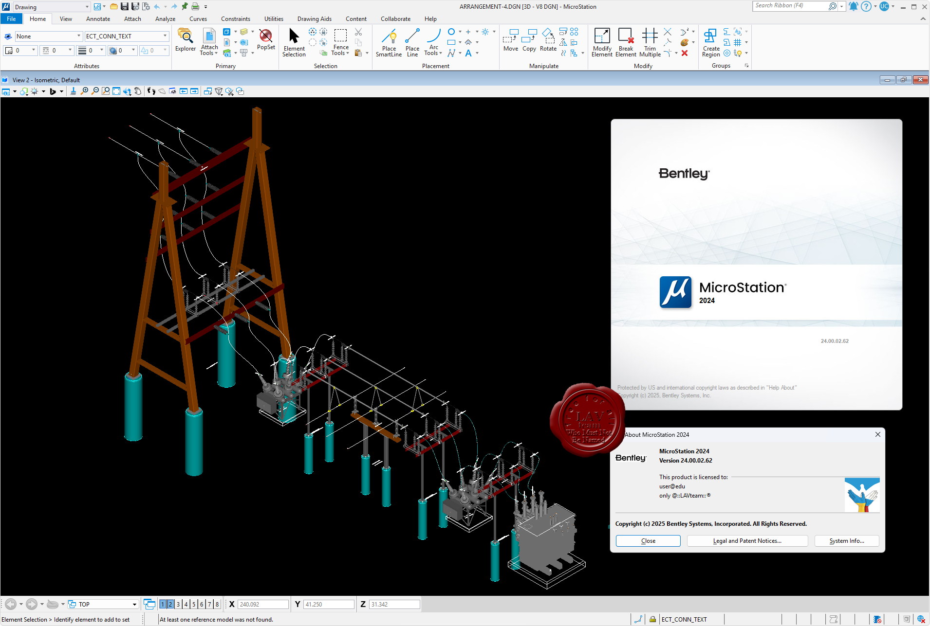
Bentley Microstation 2024 24.00.02.62

MicroStation - самая производительная, наиболее доступная и совместимая САПР-платформа для проектирования, строительства и эксплуатации мировой инфраструктуры.
Вам, вероятно, известно, что 95% инфраструктуры в мире проектируется, строится и поддерживается с применением файлов форматов DGN и DWG. При помощи MicroStation пользователи имеют возможность непосредственно редактировать содержимое обоих форматов файлов одновременно. Эта возможность превращает MicroStation в платформу для обеспечения совместимости, являющуюся обязательным атрибутом.
MicroStation также является платформой для инноваций, расположенной в центре полного спектра вертикальных программных приложений, обеспечивающей пользователей возможностью индивидуализации приложений с помощью VBA, а также возможностью "вертикального роста" при помощи узкоспециализированных решений для увеличения производительности при поддержании полной целостности данных по всему проекту.
С учетом лишь из этих двух соображений, то, что MicroStation используется всеми, включая архитекторов, инженеров, картографов и подрядчиков по проектам в области архитектуры, строительства и инженерного проектирования, не должно вызывать удивления. За счет этого данная система становится стандартом для лучших проектировщиков мира, являющихся участниками рейтинга ENR Global 150. |
| |
 Читать статью дальше (комментариев - 6)
| |
|
|
Автор: Williams
Дата: Вчера, 01:00
Просмотров: 315 |
| |
Schlumberger AquiferTest Pro v14.0.0.21
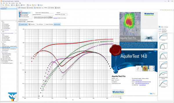
Компания Schlumberger Water Services , разработчик специализированного программного обеспечения для решения задач управления и эксплуатации водных ресурсов, выпустила новую версию программы AquiferTest Pro.
AquiferTest Pro является простым в использовании программным обеспечением для выполнения графического анализа и подготовки отчетов по результатам тестирования скважин (пробным откачкам воды и т.п.). AquiferTest Pro предлагает все функции и инструменты, необходимые для расчета гидравлических свойств водоносных горизонтов.
В новой версии программы AquiferTest Pro можно отметить следующие возможности, доступные для пользователей.
Методы анализа:
- анализ Неймана по сравнению с предыдущей версией производится быстрее более чем в 90 раз;
- включен анализ Clonts & Ramey для горизонтальных скважин;
- включен Butler High-K Slug Test (2003) — решение при опытном наливе воды для скважин высокой гидравлической активности в ограниченных или неограниченных водоносных горизонтах;
- включен Agarwal (1970) — решение при опытной откачке воды для скважин с преобладанием влияния ствола скважины и скин-эффекта.
Статистика:
- диаграмма рассеяния, показывающая уровень соответствия экспериментальных и рассчитанных данных теперь может быть отображена и включена в отчет.
Другие возможности:
- в новой версии кривые могут подгоняться к данным вручную с помощью мыши или клавиатуры;
- добавлен инструмент градиентного анализа;
- автоматическое отображение полного семейства типов кривых для более удобного анализа данных.
|
| |
Читать статью дальше (комментариев - 5)
| |
|
|
Автор: Williams
Дата: Вчера, 00:10
Просмотров: 417 |
| |
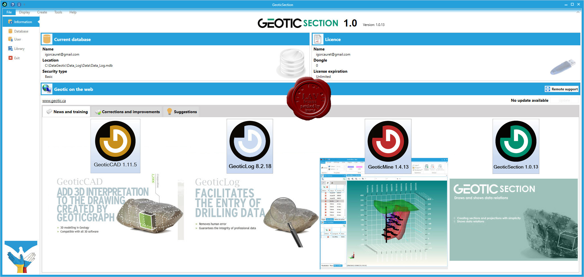
Geotic Apps 2025/02
GeoticCad v1.11.5, GeoticLog v8.2.18, GeoticMine v1.4.13, GeoticSection v1.0.13

Geotic - quality geological software designed by geologists for geologists.
GeoticLog application is used to input survey information. Its user-friendly interface greatly accelerates data input by allowing users to enter titles, summaries and even typical descriptions with the help of dictionaries. These dictionaries, which are edited by the users themselves, allow data to be validated when input, minimizing the need for subsequent corrections and ensuring exceptional data quality at all times. The information is input and organized in a simple and logical way, making the work even easier. The application also generates personalized reports according to your needs. Similarly, strip logs can be created. The application includes a users’ rights management interface to control data access and make data secure. Data is saved in Access or SQL format and organized in an intuitive schematic diagram, making it easier to produce charts and thematic plans. These databases can then be used by GeoticGraph to create sections and plan views or they can even be exported to other applications. GeoticLog database is directly linked to GeoticMine, which allow to go back and forth easily. Lastly, modules for batch imports/exports, calculating composites, calculating adjusted structures, and QAQC and drilling core photo management integrate with your environment and greatly increase the application’s potential.
GeoticSection allows plans and section books visualization created from your Geotic database. It replaced GeoticGraph in 2022. As its predecessor, GeoticSection offers all the flexibility and the functionalities you need to create quality sections, and much more. This with the same simplicity as GeoticMine. Directly synchronized to GeoticLog, allows importation of 2D section profiles from GeoticSection and GeoticMine.
GeoticMine is the ideal tool for complex 3D geological modelling directly from Geotic databases. Our latest addition supports all the features and objects in our three other software application. It is currently the only modelling software that connects a specific point on drill hole trace in a 3D environment with a linearized and geo-referenced photograph in real time. The effect is striking. Models can be made using sets of polylines and tie lines or automated procedures based on 3D Delaunay-Voronoi triangulation, or a combination of both. GeoticMine also include all the features needed for the volumetric integration and interrogation of block models created by geostatic software such as Isatis, Vulcan, Gemcom or Datamine. In addition to its advanced modelling capabilities, GeoticMine enables you to create vertical, inclined or horizontal sections and projections with the simplicity and ease-of-use that Geotic products are known far. Drill hole planning in a 3D graphics environment that takes historic deviations into account is a practical tool that our clients will certainly appreciate.
The GeoticCAD application is designed to interpret and add the finishing touches to section drawings created by GeoticSection. Similar to AutoCAD, GeoticCAD will provide you with a familiar work environment, thus reducing your learning curve. The software stands out from many competitor products thanks to its own integrated drawing motor. You do not need to install AutoCAD, which translates into increased autonomy and reduced costs. Not only does GeoticCAD work with all the formats supported by GeoticGraph (JPG, PNG, DWG, TIF, PGN…), but its main strength lies in the use of Geotic’s own VDML file format, which optimizes your possibilities. For example, several sections can be combined simply and automatically into one drawing without having to worry about insertion points. Complicated rotations will be a thing of the past since GeoticCAD automatically recognizes all the systems (World, Measure and Plot) defined when creating sections with GeoticGraph, and allows you to move from one system to another with a simple click. It is easy to visualize individual sections when you add your geological interpretation, by making the neighbouring section/s appear in grey. You can complete your drawing by including an arrow pointing north, a graphical scale or a legend explaining the colour codes used when creating your sections or by importing graphical elements from other sources such as AutoCAD or Gemcom. |
| |
Читать статью дальше (комментариев - 4)
| |
|
|
| ПОИСК ПО САЙТУ |
|
|
|
| КАЛЕНДАРЬ | | |
|
| « Март 2025 » |
|---|
| Пн | Вт | Ср | Чт | Пт | Сб | Вс |
|---|
| | 1 | 2 | | 3 | 4 | 5 | 6 | 7 | 8 | 9 | | 10 | 11 | 12 | 13 | 14 | 15 | 16 | | 17 | 18 | 19 | 20 | 21 | 22 | 23 | | 24 | 25 | 26 | 27 | 28 | 29 | 30 | | 31 | |
|
| |
| |
|