|
 |
 Автор: Williams Автор: Williams
 Дата: 31 октября 2023 Дата: 31 октября 2023
 Просмотров: 1 377 Просмотров: 1 377 |
| |
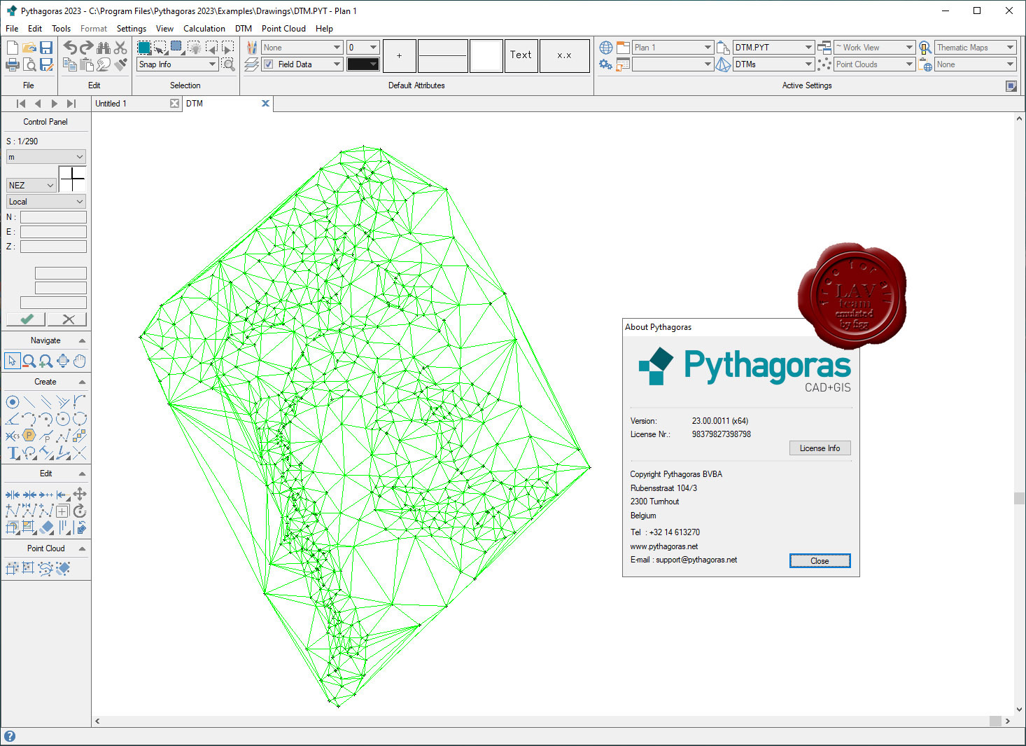
Pythagoras CAD+GIS v23.00.0011

Сегодня для геодезиста доступно множество специальных программ, и часто для начинающего геодеза встает вопрос – с какой программы начать? Следует понимать, что «идеальной» программы вам найти так и не светит. Можно встретить в Интернете утверждения типа «я работаю только в GeoniCS, CREDO, AutoCad» - но это не более, чем частные мнения. Каждая из программ призвана решать определенный спектр задач. То, что подойдет кадастровому инженеру – покажется отстоем топографу-изыскателю или тому, кто работает на стройке.
Поэтому сразу очертим круг задач для Pythagoras CAD:
- Для начинающих. Если вы ранее никогда не сталкивались с геодезическими программами - Pythagoras CAD вам подойдет для обучения, поскольку программа очень проста в освоении, есть подробная инструкция, и Pythagoras CAD решает практически все типовые задачи в области геодезии.
- Для кадастра. Подходит довольно плохо, поскольку не поддерживает основные форматы описания кадастровых участков (для Украины это форматы IN4 и новый XML). Для кадастра советую освоить программу Digitals.
- Для топографа. Подходит. Позволяет быстро отрисовать топоплан в условных знаках, построить горизонтали и т.д. Однако во многих организациях существует стандарт оформления топопланов в той или иной программе. Например в своей работе все полевые планы, абриса и рабочие чертежи я веду в Pythagoras CAD, а при сдаче объекта мне приходиться переводить чертеж под стандарты предприятия (программа на базе AutoCad)
- Для строительного геодезиста. Вариант идеальный, поскольку позволяет вести геодезическую карту объекта со всеми данными (схему обоснования, импортировать генплан, строить исполнительные и д.р.)
- Для маркшейдера. Не подходит абсолютно в силу специфики работы.
|
| |
 Читать статью дальше (комментариев - 11)
| |
|
|
Автор: Williams
Дата: 30 октября 2023
Просмотров: 628 |
| |
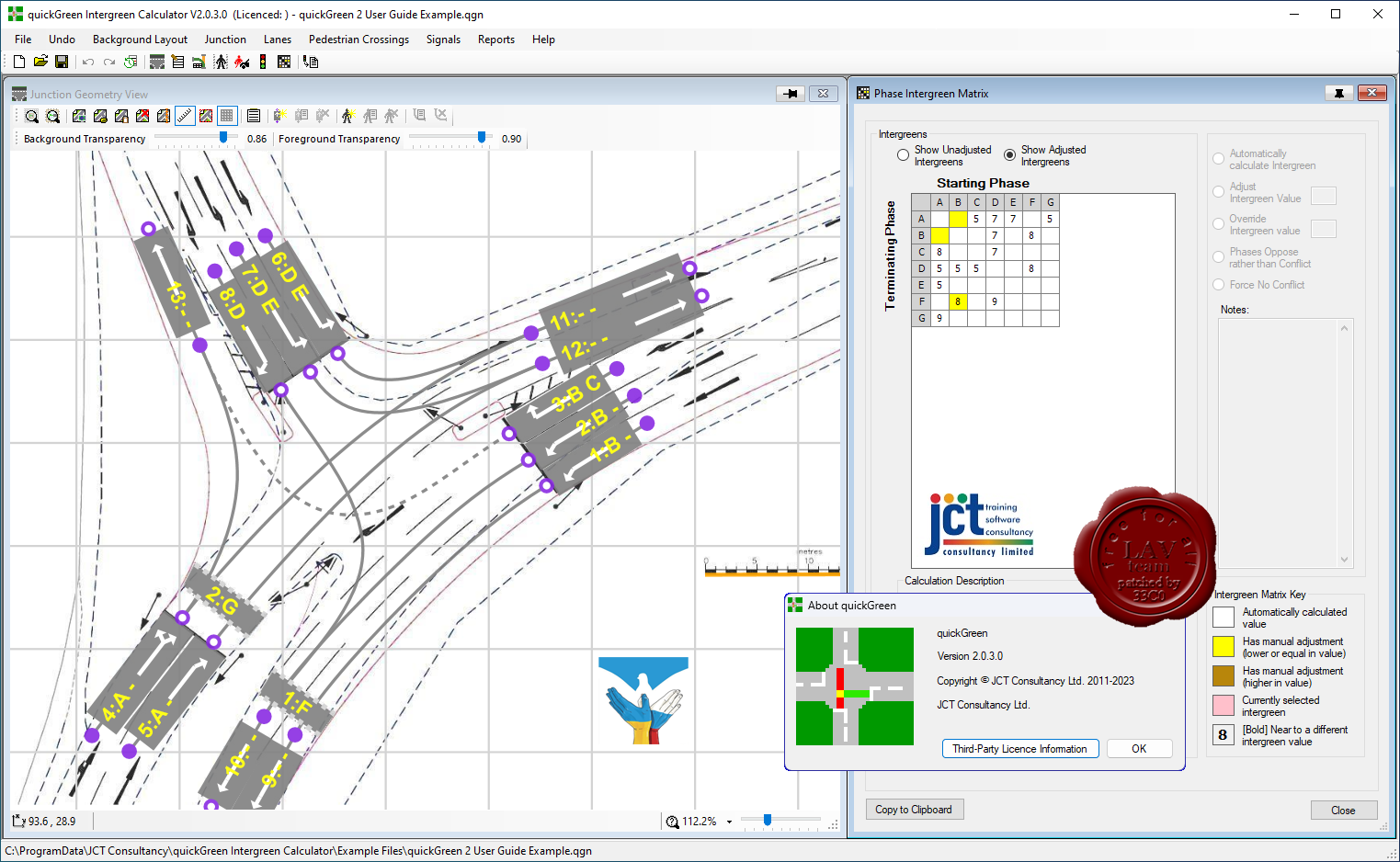
JCT Consultancy quickGreen v2.0.3.0

quickGreen is an innovative software tool to help signal engineers measure and calculate phase intergreens for traffic signal junctions. The software is designed not only to speed up the measurement process but also to reduce errors, improve the ease of checking of intergreens and assist with archiving intergreen calculations.
The quickGreen process for determining intergreens is as follows:
- A drawing of the junction is imported into quickGreen from any of the usual sources including AutoCAD, a PDF, satellite imagery or even a scanned drawing.
- After importing the drawing is calibrated to a known scale within quickGreen.
- Lanes, Turning Movement Paths, and Pedestrian Crossings are added by overlaying them on the scaled drawing. Turning Movement Paths can be easily refined to fit any geometry using typically one or two control points on the path.
- As the model is built up, quickGreen will automatically locate intergreen conflict points and measure distances between stop lines and conflict points, as required by the calculation method described above. This results in X distances for the critical conflict points.
- Traffic signal Phases are added to group lanes controlled by the same Phase.
- The critical X distances are used to calculate a Phase Intergreen Matrix using the lookup table in the UK Traffic Signs Manual, Chapter 6.
- Calculated intergreens can be overridden and adjusted if necessary and notes can be added to explain why adjustments have been made.
- The Intergreen Matrix can be exported to LinSig or other signal design software.
- Traffic - Pedestrian and Pedestrian - Traffic Intergreens can also be calculated.
- A detailed PDF report showing how the intergreens were calculated as well as the final Intergreen Matrix can be produced.
- quickGreen can easily accommodate changes to Junction geometry. As lanes or turn paths are moved conflict distances and intergreens are instantly recalculated allowing the effects of changes to Junction geometry to be quickly evaluated.
|
| |
Читать статью дальше (комментариев - 2)
| |
|
|
Автор: Williams
Дата: 29 октября 2023
Просмотров: 480 |
| |
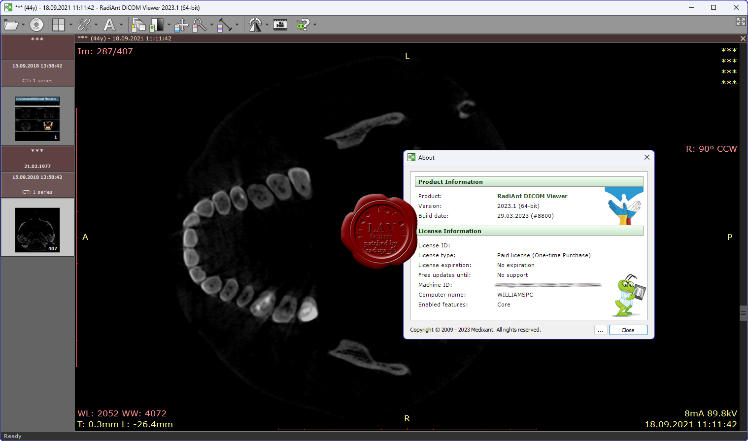
Medixan RadiAnt DICOM Viewer 2023.1

RadiAnt - это инструмент для просмотра медицинских изображений стандарта DICOM PACS.
Эта программа способна открывать и отображать результаты исследований, полученные из различных модальностей медицинских изображений:
- Цифровая рентгенография (КР,ЦР)
- Маммография (МГ)
- Компьютерная томография (КТ)
- Магнитно-резонансная томография (МРТ)
- Позитронно-эмиссионная томография (ПЭТ-КТ)
- Ультразвуковая диагностика (УЗИ)
- Цифровая субтракционная ангиография (ЦСА)
- Гамма-камера, радионуклидная диагностика (РНД)
- Вторичные изображения и сканированные изображения
- Structured Reports (SR)
Программа поддерживает несколько типов DICOM изображений:
- Монохроматические (как КР, КТ, МРТ) и цветные изображения (УЗИ, 3D-реконструкции)
- Статические изображения (например, КР, МГ, КТ) и динамические последовательности изображений (ЦСА, УЗИ)
- Несжатые и сжатые изображения (RLE, JPEG, JPEG-LS, JPEG 2000)
|
| |
Читать статью дальше (комментариев - 3)
| |
|
|
Автор: Williams
Дата: 28 октября 2023
Просмотров: 277 |
| |
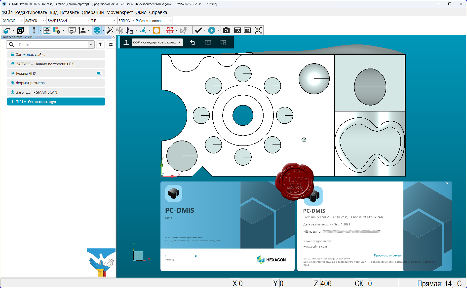
Hexagon PC-DMIS Premium 2023.2
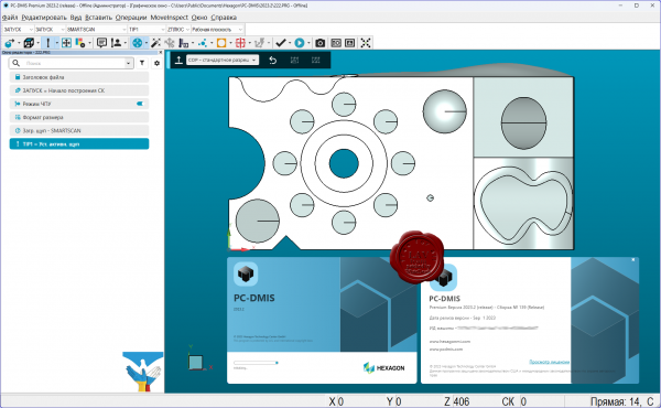
PC-DMIS metrology software enables dimensional measurement data to flow through your organisation, because quality is the grounding truth for design and manufacturing. PC-DMIS 2023.2 gives you more control and simplicity for greater efficiency. The latest update delivers more efficiency gains with a range of new smart features and updates to popular tools. Create new features faster with enhanced Measurement Strategies. Navigate complex objects with an updated ClearanceCube. Generate a pointcloud from CAD models for offline routine creation without scanning a physical part. And much more.
PC-DMIS 2023.2 continues to innovate with smart, time saving features that will make programming measurement routines easier and more intuitive.
Create pointcloud routines offline without scanning a physical part. Portable CMM users can now simulate point cloud data and practice working with feature extraction and dimensioning offline.
Updated Measurement Strategies for hassle free feature creation. Quick Path display visualises the probe path whilst using Quick Features to Identify potential collisions when creating measurement routines. Smart Ending offset considers the effective working length of the tip in use to avoid shanking.
Add move points to Auto Feature plane with a Touch Trigger Probe to avoid fixture clamps or obstacles. AutoPlane now has same level of flexibility as Measured Feature.
This update enables path generation for parts with more complex geometries. ClearanceCube is now more user friendly - settings are easier to define and use with click and drag editing of dimensional parameters.
Easily review steps in an offline measurement routine by speeding up or slowing down at critical or problematic stages for debugging. Easy to access from the execution dialogue and adjustable in real time.
Use feature hits to create a Best Fit construction with just a few clicks. Previously the single mean position of all the points of the feature would be highlighted – these single points caused an error for Best Fit construction where multiple points are needed. With Select all hits – each hit from individual planes are easily selected and added to a Best Fit construction. |
| |
Читать статью дальше (комментариев - 2)
| |
|
|
Автор: Williams
Дата: 27 октября 2023
Просмотров: 557 |
| |
Opencartis Spatial Manager Desktop v8.6.1.14511

Spatial Manager Desktop is a Windows desktop application designed to manage spatial data in a simple, fast and inexpensive way. Developed by a group of professionals working in the areas of GIS, Planning, Infrastructure and Civil Engineering, it provides the user with powerful tools to address the most common tasks of management and operation in the world of spatial information.
Key Features:
- Read and write spatial data using a wide range of file formats and spatial servers.
- Calculate geometric transformations of the features in the import and export processes.
- Choose from among a lot of dynamic Backgrounds Maps from providers such as Google Maps, OpenStreetMap, Bing, MapBox, Ordnance Survey, etc., or configure your own maps from TMS, WMS or WMTS servers.
- Export all or part of the elements in the visible Layers of the map and their data to a KML or KMZ file.
- Arrange your maps in Layers that can be fully managed by the application.
- Manage the alphanumeric data attached to the elements, design and edit the structure which will be used to store the data.
- Calculate simple or complex expressions using operators and functions that can be applied to field values in a table and/or to constant values.
- Perform spatial analysis operations over the objects in the drawing or map generating new objects from such analysis.
- Location and geo-coding tools help to add reference elements and enhanced data to existing objects.
- Spatial Manager Desktop includes the ability to save tasks that make it easy to run repetitive import and export processes.
More info |
| |
Читать статью дальше (комментариев - 4)
| |
|
|
Автор: Williams
Дата: 26 октября 2023
Просмотров: 1 439 |
| |
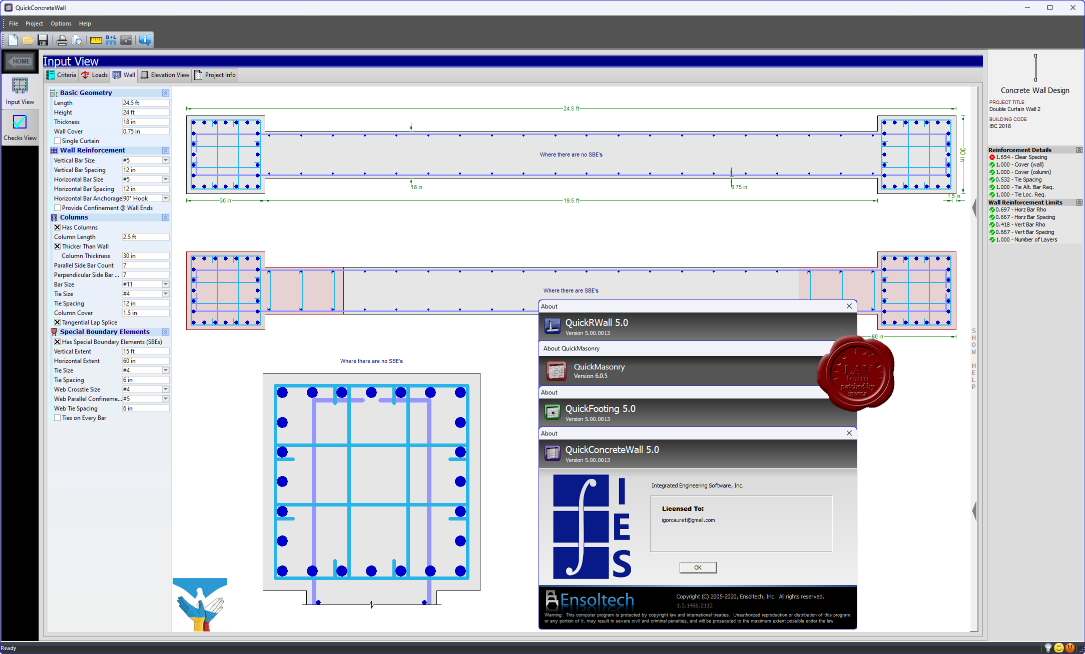
IES Quick Suite v5.6
QuickRWall, QuickFooting, QuickMasonry, QuickConcreteWall

IES, Inc. creates high quality structural design software for engineering and related professionals. Your solution for general analysis, frames, trusses, shear wall systems, foundations, retaining walls, floor systems and more in steel, wood, concrete, aluminum, cold-formed, and masonry.
QuickRWall is perhaps the best tool on the market for retaining wall design! It will get you out of the 'black box' and into high-quality wall design in short order. The reports are excellent with full equations and intermediate data readily available for complete checking. QuickRWall is very graphical, extremely easy to use, fast, and robust.
Key Benefits:
- Cantilever Retaining Walls
- Gravity Retaining Walls (ACI Chapter 22 provisions)
- Restrained Walls (e.g. Basement Wall, propped cantilever)
- Wall stems may be concrete or masonry (or mixed)
- Wall stems may be tapered (battered) or stepped
- Design Checks according to IBC 2009, ACI 318-08, or MSJC 2008
- Wide variety of loading types
QuickFooting. Concrete spread footing (single column pad), imports from VisualAnalysis. Design and check reinforced concrete footings under a single column without building a complex analysis model of the building.
Key benefits:
- Will check several footings all at once (for worst case)
- Automatic sizing and detailing (optional)
- Advanced handling of biaxial loading
- Offset pedestal from footing center
- Checks footing, pedestal, and interface
- Stability checks: Bearing pressure (net & gross), overturning, sliding, and uplift
- Complete units flexibility
- Accurate calculation of bearing pressure under biaxial loading
QuickMasonry is a stand alone tool of masonry components to manage multiple structural components within a single project file. The QuickMasonry "Project Management" tool offers the ability to design a whole series of lintels and walls, for a single building in one project file, following the latest masonry design specifications and offering a host of impressive features. Quick Masonry has been specially designed to display every calculation performed along with any associated diagrams. This complete exposure of calculations is unmatched in the industry and allows the peace of mind that comes from personally viewing and verifying any calculation about which there may be a question.
Key benefits:
- Lintels & Beams
- Bearing Walls
- Panel Walls (loads out of plane)
- Shear Walls
- Columns and Pilasters
Design Specifications:
- MSJC-2008 or MSJC-05 Code Provisions (ACI 530, ASCE 5, TMS 402, ASCE 6, TMS 602)
- Strength Design Provisions
- ASD (Allowable Stress Design) both MSJC-2008 and MSJC-05, reinforced & unreinforced
QuickConcreteWall specializes in reinforced concrete shear walls and is an excellent tool for detailing a concrete wall subject to in-plane forces. Complex ACI interaction checks are done instantaneously as you tweak design parameters and view the results. Complete rebar detailing is provided in a productivity-quick format. |
| |
Читать статью дальше (комментариев - 12)
| |
|
|
Автор: Williams
Дата: 25 октября 2023
Просмотров: 2 029 |
| |
Carlson Civil Suite 2024 build 231014
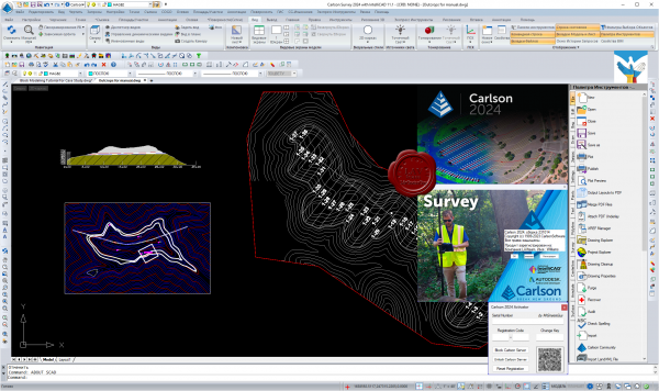
Carlson Civil Suite - пакет прикладных программ на плаформах AutoCAD 2000-2022 и IntelliCAD для работ по геодезии, геологии, построения цифровых моделей местности, проектирования генпланов, ГИС, добычи полезных ископаемых. Полная версия Carlson Civil Suite включает в себя данные программы: Survey, Civil Design, Hydrology, GIS, Construction, Takeoff, Field, Natural Regrade, Point Cluids, Basic Mining, GeoTech, Geology, Underground Mining, Surface Mining и SurvGNSS. Эти модули могут работать как совместно, так и раздельно.
Функциональные возможности:
- автоматизация обработки данных геодезической съемки;
- ввод и анализ данных по скважинам, построение геологической модели месторождения;
- построение геологических карт в изолиниях, разрезов;
- оценка запасов;
- проектирование открытых и подземных работ;
- планирование добычи и определение графиков загрузки оборудования.
Видеоролики по работе программы можно найти здесь |
| |
Читать статью дальше (комментариев - 11)
| |
|
|
Автор: Williams
Дата: 24 октября 2023
Просмотров: 2 176 |
| |
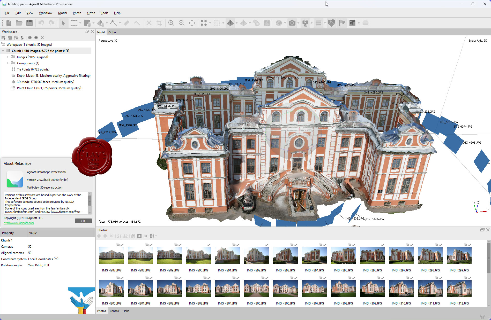
Agisoft Metashape Pro v2.0.3 build 16960
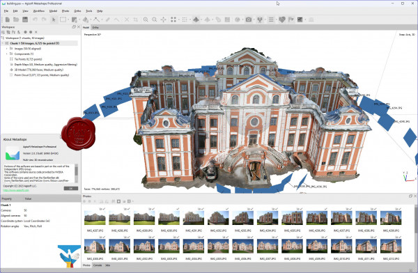
Agisoft Metashape Professional - это передовое программное обеспечение, максимально раскрывающее возможности фотограмметрии, а также включающее в себя технологии машинного обучения для анализа и пост-обработки, что позволяет получать максимально точные результаты.
Metashape позволяет обрабатывать изображения, получаемые с помощью RGB- или мультиспектральных камер, включая мультикамерные системы, преобразовывать снимки в плотные облака точек, текстурированные полигональные модели, геопривязанные ортофотопланы и цифровые модели рельефа/местности (ЦМР/ЦММ).
Дальнейшая постобработка позволяет удалять тени и искажения текстур с поверхности моделей, рассчитывать вегетационные индексы и составлять файлы предписаний для агротехнических мероприятий, автоматически классифицировать плотные облака точек и т.д.
Возможность экспорта во все внешние пакеты для постобработки делает Agisoft Metashape Professional универсальным фотограмметрическим инструментом.
Подробнее тут |
| |
Читать статью дальше (комментариев - 18)
| |
|
|
Автор: Williams
Дата: 23 октября 2023
Просмотров: 550 |
| |
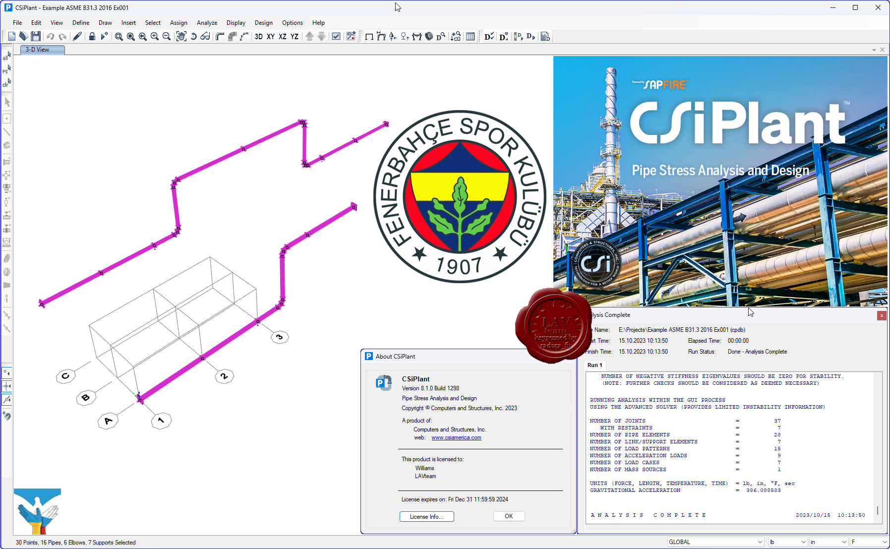
CSI CSiPlant v8.1.0 build 1298

CSiPlant is an integrated engineering software product for analysis and design of piping systems and frame structures, including piping code compliance checks with stress-intensification and flexibility factors that are automatically calculated and applied.
More info |
| |
Читать статью дальше (комментариев - 2)
| |
|
|
Автор: Williams
Дата: 22 октября 2023
Просмотров: 1 268 |
| |
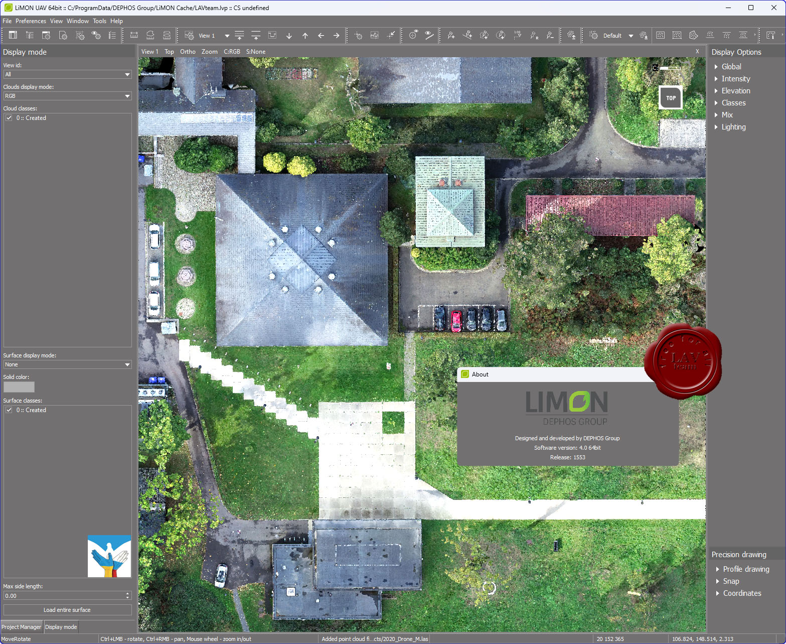
Dephos Group LiMON UAV v4.0.1553

LiMON UAV is a powerful and efficient tool for fast and convenient point cloud classification, point cloud editing and creation of derived products especially from UAV surveys.
More info |
| |
Читать статью дальше (комментариев - 11)
| |
|
|
| ПОИСК ПО САЙТУ |
|
|
|
|