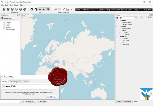
Leica Hexagon HxMap v4.3.0
The increased need for up-to-date geospatial information in many of the traditional applications as well as in emerging areas such as navigation or location-based apps requires a new approach to data processing: rapid updates over large areas in the shortest possible time. To be a true No 1, the world’s most efficient airborne sensors still rely on an efficient and fast data processing workflow.
By introducing HxMap, the unified high-performance multi-sensor workflow platform, Leica Geosystems offers exactly what the industry has been waiting for: a fast, intuitive and efficient post-processing platform, that allows you to produce all known data products within one single interface.
The Leica HxMap common sensor post-processing platform offers the following modules to meet your needs:
- HxMap Enabler: Enabler
- HxMap Provider: Ingest, Raw QC, Workflow Manager, Point Cloud Generator, Projection Engine
- HxMap Core Image: APM, Aerial Triangulation, Infocloud, Ortho Generator
- HxMap Core LiDAR: AutoCalibration, Registration, Colour Encoding, Data Metrics, LiDAR QC
- HxMap 3D Modeller: City Modeller, Texture Mapper, 3D Editor, Building Finder
Leica HxMap intuitively guides you along a common processing workflow. Starting from data download, raw QC, data ingest all the way to the final product generation. Depending on the input data, additional steps like aerial triangulation, radiometric adjustments and LiDAR point cloud registration are available.
Furthermore, the HxMap product generator allows a large number of products to be generated by the push of a button: referenced images, orthophotos, info clouds, point clouds as well as 3D city models.
These features build the right solution for large oblique projects, country-wide orthophoto or LiDAR mapping for small engineering projects alike.
To reach highest efficiency the data acquisition has been tightly integrated with the post processing workflow. Thus, HxMap can be enabled for individual sensor types. For flexible production, scalable and application-specific software modules are bundled with the matching hardware, namely Leica RealCity, Leica RealWorld and Leica RealTerrain.
RealCity supports you with your smart city and 3D city modelling applications, RealWorld is designed for Leica RCD30 and Leica DMCIII large area imaging projects in 2D and Leica RealTerrain is particularly effective for LiDAR mapping. To get the most out of your HxMap installation we highly recommend including both Core Image and Core LiDAR for all of our hybrid sensors.
Release notes