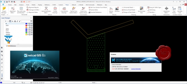
Netcad GIS 2023 v8.5.3.1063 Multilingual

For more than 30 years, we have been producing solutions for the needs of professionals from different professional disciplines. With the agile software development philosophy, we aim to develop continuously in line with user needs and expectations.
With Netcad GIS, we offer our users the freedom of the CAD environment and the advantages of the rule-based structure of the GIS environment at the same time. We support these two spatial data formats, which we believe complementing each other in geographic data production processes, with dynamic CAD & GIS integration.
With its approach of integrated CAD and GIS solutions, Netcad GIS is designed to meet many different demands from different sectors and users. For many engineering and planning disciplines, demands such as mapping, design, calculation, data conversion, reporting, analysis are met with rich data format support. Netcad GIS is a geographic data source that supports a wide range of spatial information sources in international standards.
With the advanced data organization tools and the module capabilities customized for different professional specialization areas, needs-oriented projects can be produced. All different modules developed for professional needs run smoothly on Netcad GIS.