|
 |
 Автор: Williams Автор: Williams
 Дата: 10 октября 2019 Дата: 10 октября 2019
 Просмотров: 5 374 Просмотров: 5 374 |
| |
Carlson Civil Suite 2020 build 190930 x64
Carlson Civil Suite 2020 - пакет прикладных программ на плаформах AutoCAD 2000-2020 и IntelliCAD для работ по геодезии, геологии, построения цифровых моделей местности, проектирования генпланов, ГИС, добычи полезных ископаемых. Полная версия Carlson Civil Suite 2020 включает в себя данные программы: Survey, Civil Design, Hydrology, GIS, Construction, Takeoff, Field, Natural Regrade, Point Cluids, Basic Mining, GeoTech, Geology, Underground Mining, Surface Mining и SurvGNSS. Эти модули могут работать как совместно, так и раздельно.
Функциональные возможности:
- автоматизация обработки данных геодезической съемки;
- ввод и анализ данных по скважинам, построение геологической модели месторождения;
- построение геологических карт в изолиниях, разрезов;
- оценка запасов;
- проектирование открытых и подземных работ;
- планирование добычи и определение графиков загрузки оборудования.
Видеоролики по работе программы можно найти здесь |
| |
 Читать статью дальше (комментариев - 28)
| |
|
 |
 Автор: Williams Автор: Williams
 Дата: 9 октября 2019 Дата: 9 октября 2019
 Просмотров: 3 833 Просмотров: 3 833 |
| |
CSI Detail v18.0.0 build 1034 x64

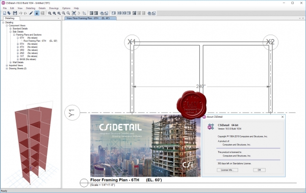
CSiDetail is an integrated and interactive software product for generating detailing output, such as detailed views, drawings, bills of materials (BOM), and bills of quantities (BOQ) from ETABS models. CSiDetail creates a detailed model of the structure, based on its analysis model and the design process carried out in ETABS. It automatically generates views and drawings that can be used as the basis for preparing final engineering drawings, as well as BIM files for use in BIM tools. Detailing can be carried out both for concrete and steel buildings. CSiDetail generates reinforcement details for slabs, beams, columns, and walls, grouping similar beams and columns in the process. Reinforcement details are presented in the form of tables and schedules for groups of components, as well as drawn in plans, elevations, and sections for individual elements. The rebar cage of individual components or the entire structure can be viewed in an interactive 3D model, showing individual rebars in true 3D coordinates. Detailing is carried out based on an extensive set of preferences and rules to control bar-size selection, spacing, curtailment, and placement. Preferences and rules can be user-defined, conforming to various design codes and local practice. This provides full customization capability for controlling how detailing is carried out and output is generated. CSiDetail has extensive capabilities for editing reinforcement. Generated views can be edited or formatted as needed. Drawings can be generated automatically for selected floors and components or created individually by combining required views. Both drawings and individual views can be exported as DXF files to CAD programs or printed directly. Framing plans, framing elevations and sections are generated automatically, and presented in tabular format. Elevations and sections of individual beams and columns are also available if needed.
|
| |
 Читать статью дальше (комментариев - 18)
| |
|
 |
 Автор: Williams Автор: Williams
 Дата: 8 октября 2019 Дата: 8 октября 2019
 Просмотров: 7 265 Просмотров: 7 265 |
| |
CSI ETABS v18.0.2 build 2064 x64
The innovative and revolutionary new ETABS is the ultimate integrated software package for the structural analysis and design of buildings. Incorporating 40 years of continuous research and development, this latest ETABS offers unmatched 3D object based modeling and visualization tools, blazingly fast linear and nonlinear analytical power, sophisticated and comprehensive design capabilities for a wide-range of materials, and insightful graphic displays, reports, and schematic drawings that allow users to quickly and easily decipher and understand analysis and design results.
From the start of design conception through the production of schematic drawings, ETABS integrates every aspect of the engineering design process. Creation of models has never been easier - intuitive drawing commands allow for the rapid generation of floor and elevation framing. CAD drawings can be converted directly into ETABS models or used as templates onto which ETABS objects may be overlaid. The state-of-the-art SAPFire 64-bit solver allows extremely large and complex models to be rapidly analyzed, and supports nonlinear modeling techniques such as construction sequencing and time effects (e.g., creep and shrinkage). Design of steel and concrete frames (with automated optimization), composite beams, composite columns, steel joists, and concrete and masonry shear walls is included, as is the capacity check for steel connections and base plates. Models may be realistically rendered, and all results can be shown directly on the structure. Comprehensive and customizable reports are available for all analysis and design output, and schematic construction drawings of framing plans, schedules, details, and cross-sections may be generated for concrete and steel structures.
ETABS provides an unequaled suite of tools for structural engineers designing buildings, whether they are working on one-story industrial structures or the tallest commercial high-rises. Immensely capable, yet easy-to-use, has been the hallmark of ETABS since its introduction decades ago, and this latest release continues that tradition by providing engineers with the technologically-advanced, yet intuitive, software they require to be their most productive.
|
| |
 Читать статью дальше (комментариев - 46)
| |
|
 |
 Автор: Williams Автор: Williams
 Дата: 7 октября 2019 Дата: 7 октября 2019
 Просмотров: 2 223 Просмотров: 2 223 |
| |
CSI Bridge Advanced v21.1.0 build 1543 x64

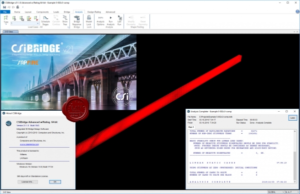
Modeling, analysis and design of bridge structures have been integrated into CSI Bridge to create the ultimate in computerized engineering tools. The ease with which all of these tasks can be accomplished makes CSI Bridge the most versatile and productive software program available on the market today.
Using CSI Bridge, engineers can easily define complex bridge geometries, boundary conditions and load cases. The bridge models are defined parametrically, using terms that are familiar to bridge engineers such as layout lines, spans, bearings, abutments, bents, hinges and post-tensioning. The software creates spine, shell or solid object models that update automatically as the bridge definition parameters are changed.
CSI Bridge design allows for quick and easy design and retrofitting of steel and concrete bridges. The parametric modeler allows the user to build simple or complex bridge models and to make changes efficiently while maintaining total control over the design process. Lanes and vehicles can be defined quickly and include width effects. Simple and practical Gantt charts are available to simulate modeling of construction sequences and scheduling.
CSI Bridge includes an easy to follow wizard that outlines the steps necessary to create a bridge model.
Completely integrated within the CSI Bridge design package is the power of the SAPFire analysis engine, including staged construction, creep and shrinkage analysis, cable tensioning to target forces, camber and shape finding, geometric nonlinearity (P-delta and large displacements), material nonlinearity (superstructure, bearings, substructure and soil supports), buckling and static and dynamic analysis. All of these apply to a single comprehensive model. In addition, AASHTO LRFD design is included with automated load combinations, superstructure design and the latest seismic design.
|
| |
 Читать статью дальше (комментариев - 16)
| |
|
 |
 Автор: Williams Автор: Williams
 Дата: 6 октября 2019 Дата: 6 октября 2019
 Просмотров: 7 386 Просмотров: 7 386 |
| |
CSI SAP2000 v21.1.0 build 1543 x64
CSI SAP2000 - cистема трехмерного статического и динамического анализа методом конечных элементов и проектирования сооружений.
SAP2000 следует принципам, основными чертами которых являются современный, интуитивно понятный и универсальный пользовательский интерфейс, основанный на уникальном расчетном ядре и инструментах проектирования конструкций для инженеров, разрабатывающих объекты транспортной инфраструктуры, промышленные и гражданские здания, спортивные сооружения и другие объекты.
Начиная с трехмерной объектно-ориентированной рабочей среды моделирования и до широчайшего спектра опций расчета и проектирования конструкций, комплексно интегрированных в один мощный пользовательский интерфейс, SAP2000 – это наиболее интегрированный, производительный и практичный расчетный комплекс общего назначения, существующий на сегодняшнем рынке. Интуитивно понятный интерфейс позволяет Вам создавать модели конструкций в кратчайшие сроки без долгого процесса обучения. Сегодня Вы можете использовать SAP2000 для всех Ваших задач по расчету и проектированию, в том числе и для небольших повседневных задач.
Комплексные модели могут быть созданы и разбиты на конечные элементы с использованием встроенных шаблонов. Интегрированные инструменты проектирования конструкций способны автоматически сгенерировать ветровые, волновые, нагрузки от транспорта и сейсмические нагрузки на модель, а также выполнить полную автоматическую проверку стальных и железобетонных элементов согласно нормам проектирования различных стран.
|
| |
 Читать статью дальше (комментариев - 49)
| |
|
 |
 Автор: Williams Автор: Williams
 Дата: 5 октября 2019 Дата: 5 октября 2019
 Просмотров: 1 761 Просмотров: 1 761 |
| |
LimitState GEO v3.5 build 22974 repack
LimitState GEO - инновационное геотехническое программное обеспечение, которое использует новую технологию, позволяющую пользователям точно и быстро оценить стабильность наклонов, сдерживающих стен, фундаментов и фактически любой другой геотехнической особенности.
Основные возможности LimitState GEO:
- анализ геотехнической стабильности, проблем почти любого типа, включая комбинированные проблемы одновременно стабильности наклонной поверхности, почвы, сдерживающих стен, опор и туннелей;
- поиск причин отказа оборудования и проблем безопасности эксрлуатации;
- анализ множественных параметров по стандарту Eurocode 7; более подробно тут: link
|
| |
 Читать статью дальше (комментариев - 12)
| |
|
 |
 Автор: Williams Автор: Williams
 Дата: 4 октября 2019 Дата: 4 октября 2019
 Просмотров: 2 608 Просмотров: 2 608 |
| |
Tower Numerics tnxTower v8.0.5.0

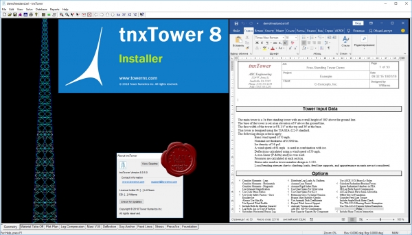
The program analyzes towers using the ANSI/TIA-222-H Standard or any of the previous TIA/EIA Standards back to RS-222 (1959). Steel design is checked using the TIA/EIA Standards, AISC ASD 9th Edition or the AISC LRFD Specifications, as applicable. The Canadian Standard CSA S37-01 is available as well. tnxTower's rapid model creation tools, 3-D frame-truss models and automatic wind force and ice loading generation capabilities are just a few of the features that make this industry-standard software the premier choice for all types of communication towers. Graphical display of tower geometry, appurtenances, internal forces, stresses and displacements are created automatically. Extensive graphics plots include material take-off, shear-moment, leg compression, displacement, twist, feed line, guy anchor and stress plots. tnxTower contains unique features such as True Cable behavior, hog rod take-up, foundation stiffness and much more.
tnxTower is a general-purpose modeling, analysis, and design program created specifically for communications towers. The following Standards are currently implemented: RS-222, RS-222-A, RS-222-B, EIA-222-C, EIA-222-D, EIA-222-E, TIA/EIA-222-F, ANSI/TIA-222-G (including TIA-222-G-1 and TIA-222-G-2), ANSI/TIA-222-H, and CSA S37-01.
Base Tower Types Supported:
- Three or four sided guyed towers
- Three or four sided self-supporting towers
- Ground mounted monopoles (round stepped, round tapered, 18-, 16-, 12-, and 8-sided)
- Three or four sided guyed monopoles
Upper Antenna Types Supported:
- Three or four sided latticed poles
- Tubular poles (round stepped, round tapered, 18-, 16-, 12-, and 8-sided)
- Candelabra tops
Analysis and Design:
- Automatic generation of nodes and elements for 3D frame-truss, truss, or beam-column tower models
- Linear and non-linear (P-delta, cable behavior) finite element analysis (FEA)
- Three modes available: analysis only, analysis and members check, or analysis and lowest weight-optimized design
- Automatic determination of pressure coefficients, wind pressures, ice loads and resulting forces on the tower
- Optimized feed line Effective Projected Area calculations to minimize required wind loading
- Automatic calculation of feed lines shielding
- Calculation of center of pressure due to offset feed lines
- Automatic calculation of K-factors for solid round and single angle members
- Optional inner feed line support tower
- Check or design of bolts in tower members
- Export to RISA-3D for additional analysis and design options
Data Entry:
- Powerful, easy to use spreadsheets for quick model generation and input verification
- Adaptable three-level structure definition: base tower, upper antenna structure, and top antenna pole
- Guy cables generation with varying radii and guy anchor elevations
- Feed lines, discrete loads (loads from antennas, mounts, and other appurtenances), dishes, and user defined loads specification anywhere on the tower
- Comprehensive databases of structural shapes, assemblies, feed lines, dishes, antennas, mounts, and other appurtenances
- Powerful Database Manager, allowing full customization and synchronization across networks
- Flexible selection of units: US Customary (decimal or architectural notation) or SI Metric, with user-controlled display precision
|
| |
 Читать статью дальше (комментариев - 22)
| |
|
 |
 Автор: Williams Автор: Williams
 Дата: 3 октября 2019 Дата: 3 октября 2019
 Просмотров: 1 176 Просмотров: 1 176 |
| |
LimitState GEO v3.5 build 22974
LimitState GEO - инновационное геотехническое программное обеспечение, которое использует новую технологию, позволяющую пользователям точно и быстро оценить стабильность наклонов, сдерживающих стен, фундаментов и фактически любой другой геотехнической особенности.
Основные возможности LimitState GEO:
- анализ геотехнической стабильности, проблем почти любого типа, включая комбинированные проблемы одновременно стабильности наклонной поверхности, почвы, сдерживающих стен, опор и туннелей;
- поиск причин отказа оборудования и проблем безопасности эксрлуатации;
- анализ множественных параметров по стандарту Eurocode 7; более подробно тут: link
|
| |
 Читать статью дальше (комментариев - 12)
| |
|
 |
 Автор: Williams Автор: Williams
 Дата: 2 октября 2019 Дата: 2 октября 2019
 Просмотров: 2 785 Просмотров: 2 785 |
| |
Pythagoras CAD+GIS v16.00 x64 Unlimited

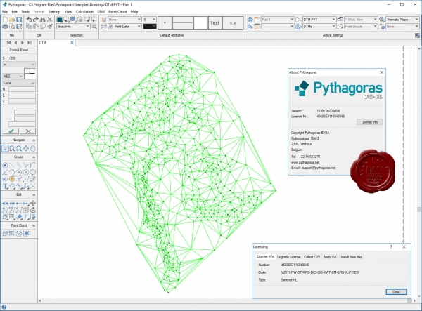
Сегодня для геодезиста доступно множество специальных программ, и часто для начинающего геодеза встает вопрос – с какой программы начать? Следует понимать, что «идеальной» программы вам найти так и не светит. Можно встретить в Интернете утверждения типа «я работаю только в GeoniCS, CREDO, AutoCad» - но это не более, чем частные мнения. Каждая из программ призвана решать определенный спектр задач. То, что подойдет кадастровому инженеру – покажется отстоем топографу-изыскателю или тому, кто работает на стройке.
Поэтому сразу очертим круг задач для Pythagoras CAD:
- Для начинающих. Если вы ранее никогда не сталкивались с геодезическими программами - Pythagoras CAD вам подойдет для обучения, поскольку программа очень проста в освоении, есть подробная инструкция, и Pythagoras CAD решает практически все типовые задачи в области геодезии.
- Для кадастра. Подходит довольно плохо, поскольку не поддерживает основные форматы описания кадастровых участков (для Украины это форматы IN4 и новый XML). Для кадастра советую освоить программу Digitals.
- Для топографа. Подходит. Позволяет быстро отрисовать топоплан в условных знаках, построить горизонтали и т.д. Однако во многих организациях существует стандарт оформления топопланов в той или иной программе. Например в своей работе все полевые планы, абриса и рабочие чертежи я веду в Pythagoras CAD, а при сдаче объекта мне приходиться переводить чертеж под стандарты предприятия (программа на базе AutoCad)
- Для строительного геодезиста. Вариант идеальный, поскольку позволяет вести геодезическую карту объекта со всеми данными (схему обоснования, импортировать генплан, строить исполнительные и д.р.)
- Для маркшейдера. Не подходит абсолютно в силу специфики работы.
|
| |
 Читать статью дальше (комментариев - 16)
| |
|
 |
| ПОИСК ПО САЙТУ |
 |
|
 |
|