|
 |
 Автор: Williams Автор: Williams
 Дата: 11 мая 2019 Дата: 11 мая 2019
 Просмотров: 917 Просмотров: 917 |
| |
Equity Engineering Group PlantManager v3.0.1.18956
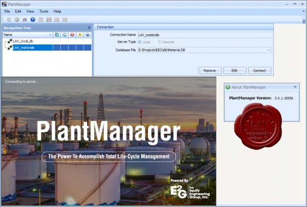
The Equity Engineering Group, Inc. (E²G) is an employee-owned engineering firm who continues to provide specialized engineering consulting services for new and aging infrastructure in the refining, petrochemical, chemical and other industries.
API RBI and SagePlus are delivered in E²G’s PlantManager platform. Capable of running locally on the desktop or in enterprise client-server configuration, the four-tier architecture of PlantManager provides a scalable, flexible solution to connect unlimited servers, databases, calculators and clients. The platform supports integration with 3rd party software such as PCMS, Meridium APM, SAP, Maximo, Crystal Reports, MS SQL Server Reporting Services, etc. PlantManager is designed to natively manage all equipment types defined in API RP 581. A basic data set of design and operating conditions is available for each equipment and component and can be shared between PlantManager analysis applications.
Additionally, PlantManager provides a framework for collaborative workflow, reliability and inspection specific document management, and efficient data management through such features as:
- Collateral Data – Store any type of file (doc, pdf, jpg, dwg, xls…) in the appropriate equipment context
- External Links – Any external data may be linked remotely to reference files on a document management system or network location preventing unnecessary duplication
- Extensive Meta-Data System – Incorporates status and workflow specific informational flags as well as detailed comments at every level
- BatchEditPlus – Allows for seamless editing of similar fields across multiple equipment items, a unique alternative to typical external spreadsheet techniques
|
| |
 Читать статью дальше (комментариев - 4)
| |
|
 |
 Автор: Williams Автор: Williams
 Дата: 9 мая 2019 Дата: 9 мая 2019
 Просмотров: 188 Просмотров: 188 |
| |

Спасибо Вам, родные ветераны,
Что Вы смогли Победу ту добыть.
Священ Ваш подвиг, святы Ваши раны.
Спасённый мир не сможет Вас забыть!
Спасибо Вам, что много сил отдали.
От пуль врага не прятали сердца.
Что честь страны достойно отстояли.
Свой путь прошли геройски, до конца!
Спасибо Вам, что жизни отдавая,
Вы думали о майском этом дне.
Вам виделась из ада жизнь другая
И за неё Вы гибли в той войне ...
Спасибо Вам, что жизнь теперь иная,
Что отвели от нас ужасную беду.
Простите, что о Вас мы забываем
И вспоминаем всех один лишь раз в году.
Спасибо Вам, что время то настало,
Когда живём достойно на земле.
Простите нас, что сделали так мало
Для Вас, для победителей в стране ...
Спасибо Вам за бескорыстье Ваше,
Ведь никогда не ждали Вы наград.
Простите нас за невниманье наше
К Великой доблести и подвигу солдат.
Так дай же Бог ещё Вам долги лета,
Пусть не иссякнет Ваша доброта.
И майским солнцем будет жизнь согрета,
А подвиг Ваш переживет века!!! |
| |
 Читать статью дальше (комментариев - 16)
| |
|
 |
 Автор: Williams Автор: Williams
 Дата: 8 мая 2019 Дата: 8 мая 2019
 Просмотров: 1 683 Просмотров: 1 683 |
| |
Skyline TerraExplorer Pro v7.0.2.2809
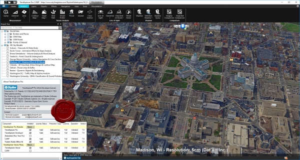
A cutting-edge 3D GIS desktop viewer and creator that provides powerful tools and a high resolution 3D environment in which to view, query, analyze and present geospatial data. With TerraExplorer's robust and extensive capabilities and ever-increasing interoperability, stunningly realistic 3D visualizations can be created by overlaying the terrain with unlimited data layers, 3D models, virtual objects and more.
TerraExplorer Plus adds loading of all 2D and 3D offline formats, feature layer editing and querying, advanced objects and drawing tools, a set of tools for professional usage, and the advanced Pro API interfaces.
TerraExplorer Pro adds publishing capabilities as well as uploading of data to SkylineGlobe cloud. |
| |
 Читать статью дальше (комментариев - 12)
| |
|
 |
 Автор: Williams Автор: Williams
 Дата: 7 мая 2019 Дата: 7 мая 2019
 Просмотров: 2 446 Просмотров: 2 446 |
| |
Skyline PhotoMesh / PhotoMesh Fuser v7.5.1.3634
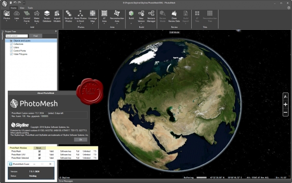
PhotoMesh fully automates the generation of high-resolution, textured, 3D mesh models from standard 2D photographs. This breakthrough application combines unlimited scalability with superior precision to produce consistent and accurate 3D models that enhance the realism of any 3D visualization.
More info |
| |
 Читать статью дальше (комментариев - 15)
| |
|
 |
 Автор: Williams Автор: Williams
 Дата: 5 мая 2019 Дата: 5 мая 2019
 Просмотров: 2 329 Просмотров: 2 329 |
| |
Korf Hydraulics v3.5
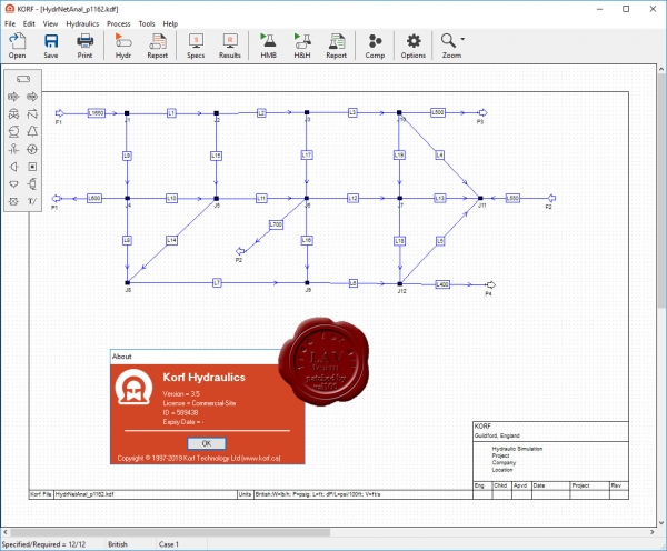
Korf Hydraulics is a user friendly program for calculating flow rates and pressures in pipes and piping networks. It is extremely flexible in what you can specify, with the program solving the unknown flows, pressures and sizes. Korf Hydraulics is equally well suited for applications ranging from a single pipe to complex networks where the flow rate in all or part of the network is unknown.
Version 3.5 is now available and supports the following key features:
- Modern graphical interface with extensive reporting facilities and Win 10 support.
- Liquid, isothermal compressible, adiabatic compressible (with flash) and several 2-phase pressure drop methods.
- Omega Homogeneous Equilibium and Non-Equilibrium Model for pipes, orifices, nozzles and control valves.
- Multiple pipe databases, including non-cylindrical pipes.
- Flexible pipe sizing routines, and ability to ignore non-standard sizes.
- Fittings can be represented by the Le/D, Crane K or Hooper 2-K method.
- Heat loss from pipes can be estimated.
- Support for pump shut off (dead head) pressure calculation.
- Advanced equipment sizing and rating facilities (flow meters, control valves, etc)
- Pipe fluid properties can be based on that of another pipe (reference pipe)
- Built-in 2 and 3 phase flash calculations.
- Support to use Hysys for flash calculations and to import data from Hysys and Aspen.
- Support for binary interaction coefficients and pseudo components.
- Support for multiple cases (normal, rated, etc)
- Quick calculation tools for pipes, orifices and control valves.
|
| |
 Читать статью дальше (комментариев - 11)
| |
|
 |
 Автор: Williams Автор: Williams
 Дата: 4 мая 2019 Дата: 4 мая 2019
 Просмотров: 2 350 Просмотров: 2 350 |
| |
Datamine Studio UG v2.1.40.0 x64
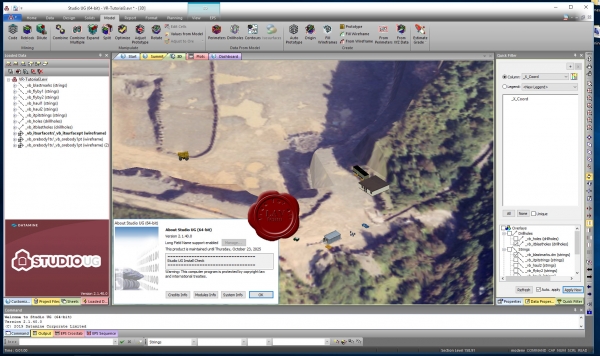
Studio UG v2 - очередной шаг на пути модернизации Studio 5D Planner. Первая версия Studio UG обладает инструментами проектирования и поддерживает MSO v3.
Вот несколько возможностей Studio UG v2:
МОЩНОЕ ПРОЕКТИРОВАНИЕ
- Многооконный режим проектирования с индивидуальными настройками видов
- Простое переключение между разрезами, их создание и сохранение
- Отрисовка стрингов в нескольких окнах
- Отображение полной трёхмерной блочной модели с динамическим отчётом по каркасам
- Работа с плоскостью проектирования в 3D виде
- Автоматическое выравнивание вида относительно плоскости
- Динамический контроль ширины и положения разреза
- Быстрая графика и поддержка больших файлов благодаря 64-битной технологии
НОВЫЕ ИНСТРУМЕНТЫ ПРОВЕРКИ ДАННЫХ
- Мощные инструменты для исправления каркасов
- Исправление съёмки забоя и создание 3D-поверхности
- Использование закрытых каркасов для последующей сверки
АВТОМАТИЧЕСКОЕ ПРОЕКТИРОВАНИЕ ЗАБОЕВ С ПОМОЩЬЮ MSO V.3
- Новые настройки нарезки и метод призм
- Интуитивный интерфейс для упрощения настройки
- Динамический обзор ориентации забоя и сравнение с областью блочной модели
- Увеличенное количество точек забоя до 6-8
- Ограничение забоя структурой (кровлей рудного тела или разломом)
- Ориентация почвы забоя по наклонным рудным выработкам
- Создание забоев с коронообразным профилем и корытообразной формы
- Анализ чувствительности в одно нажатие с использованием многоядерных процессоров |
| |
 Читать статью дальше (комментариев - 9)
| |
|
 |
 Автор: Williams Автор: Williams
 Дата: 3 мая 2019 Дата: 3 мая 2019
 Просмотров: 2 928 Просмотров: 2 928 |
| |
Rarlab WinRAR v5.71 bra+chi+eng+fra+ger+ita+rus+tur x32+x64
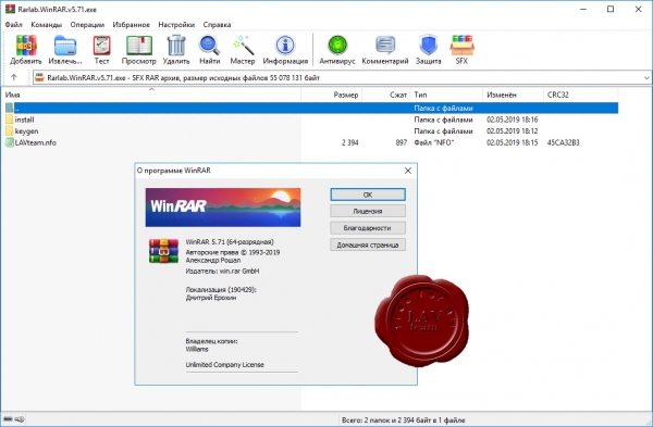
Архиватор RAR является самой распространенной программой после операционной системы и браузера, ведь большинство программ и в Интернете, и у пользователей хранятся в сжатом виде в архивах.
WinRAR – мощная утилита для создания и управления архивами, содержащая целый спектр дополнительных полезных функций. Программа WinRAR ежедневно используется миллионами людей во всем мире для экономии места на ПК и быстрой передачи файлов.
WinRAR больше не поддерживает Windows 98, Windows Me, Windows NT.
What's new in the latest version:
Version 5.71
1. "Convert archives" command:
a) improved performance when processing a lot of small archives
in Windows 10;
b) fixed memory leaks which could lead to excessive memory use
when converting to ZIP format.
2. Corrupt ZIP archive processing:
a) "Repair" command replaces packed and unpacked file sizes stored
in local file header with sizes from central directory
if local header sizes look invalid;
b) file extraction is stopped at unpacked size stored in ZIP headers
even if available packed data allows further extraction.
It is done to prevent unexpected hard drive space usage.
3. Ctrl+C allows to abort RAR "l" command quickly. In previous versions
it could take several seconds until list command stopped.
4. Bugs fixed:
a) WinRAR could crash when attempting to display some types of archive
comments in GUI shell, resulting in a denial of service;
b) if "Save archive name" and "Add to context menu" options were
set in compression profile parameters and profile was invoked
from Explorer context menu, WinRAR proposed an automatically
generated archive name instead of name saved in profile.
c) WinRAR displayed an unneeded pair of round brackets in "Archive"
column of "Diagnostic messages" window for system error messages;
d) "Extract to folder\" Windows Explorer context menu command could
fail to unpack ZIP archives if their names included a numeric
part followed by .zip extension, arbitrary data was present
before the first file record and "Remove redundant folders from
extraction path" WinRAR option was switched on;
e) in "RAR x -x<mask> arcname" command, parent folders of files
matching the specified mask also were excluded from extracting;
f) "Find" command returned the current folder own name additionally
to its contents for "Current folder" search area if folder name
matched "File names to find" mask;
g) if "Find in files" and "Find in archives" are both enabled,
"Find" command did not match an archive name itself against
"File names to find" mask after searching inside of archive.
So it did not display archive names for masks like *.rar
and applied this mask only to files inside of archives;
h) when running an executable directly from archive, WinRAR 5.70
did not set a temporary folder with unpacked files as current.
So executables attempting to access other archived files
in current folder could fail to work;
i) WinRAR could be inaccessible for few seconds after closing
an archived file opened in internal viewer in Windows 10;
j) dragging a file to subfolder of ZIP archive with "Store full paths"
option enabled produced invalid pathnames consisting of repeated
subfolder name. Same invalid pathnames were produced if adding files
to ZIP archive with -ap<folder> -ep2 switches. |
| |
 Читать статью дальше (комментариев - 13)
| |
|
 |
| ПОИСК ПО САЙТУ |
 |
|
 |
|